Payl:Barbados location map.svg

Size of this PNG preview of this SVG file: 539 x 599 ka mga piksel. Uban pang mga resoluyon: 216 x 240 ka mga piksel | 432 x 480 ka mga piksel | 691 x 768 ka mga piksel | 921 x 1,024 ka mga piksel | 1,843 x 2,048 ka mga piksel | 1,205 x 1,339 ka mga piksel.
Tibuok resolusyon (SVG nga payl, nominally 1,205 × 1,339 pixels, size sa payl: 125 KB)
Mubong sugid:
| Deskripsyon |
Deutsch: Positionskarte von Barbados. Geographische Begrenzungen der Karte:
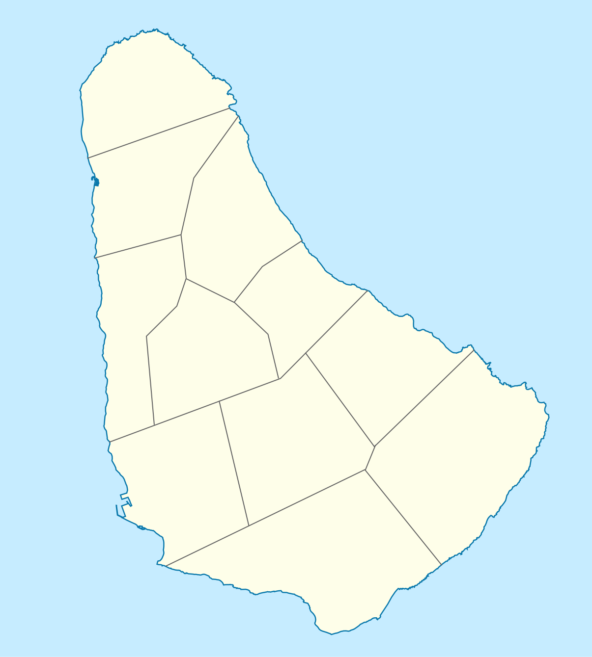
English: Location map of Barbados. Geographic limits of the map:
|
| Petsa | |
| Gigikanan |
Kaugalingong trabaho, using
|
| Tagsulat |
Graphic made by Carport |
Pagtugot
This file is licensed under the Creative Commons Attribution-Share Alike 2.0 Generic license.
- Libre ka:
- sa pagsabwag – sa pagkopya, pag-apod-apod ug pagsabwag sa hinimo
- sa pag-remix – sa pag-adap sa binuhat
- Ubos sa mosunod nga mga kondisyon:
- atribusyon – Kinahanglan nimo nga hatagan ang angay nga kredito, maghatag usa ka link sa lisensya, ug ipakita kung adunay mga pagbag-o. Mahimo nimo kini buhaton sa bisan unsang makatarunganon nga paagi, apan dili sa bisan unsang paagi nga nagsugyot nga gi-endorso ka sa licensor o ang imong paggamit.
- share parehas – Kung imong gi-remix, gibag-o, o gibase sa materyal, kinahanglan nimo nga iapod-apod ang imong mga kontribusyon sa ilawom sa parehas o katugma nga lisensya sama sa orihinal.
Kaagi sa payl
I-klik ang petsa/oras aron makit-an ang hulagway sa payl niadtong panahona.
| Petsa/Takna | Thumbnail | Mga dimensyon | Tiggamit | Komento | |
|---|---|---|---|---|---|
| kasamtangan | 14:12, 22 Nobiyembre 2009 | | 1,205 × 1,339 (125 KB) | Carport | {{Information |Description={{de|1=Positionskarte von {{w|Barbados|Barbados|de}}. Geographische Begrenzungen der Karte: * N: 13.349° N * S: 13,034° N * W: 59,690° W * E: 59,399° W}} {{en|1=Location map of {{w|Barbados}}. Geographic limits of the map: |
Mga paggamit sa payl
More than 100 pages use this file. The following list shows the first 100 pages that use this file only. A full list is available.
- Barbados (pagklaro)
- Beachy Head
- Bell Point
- Belle Hill
- Boiling Spring
- Bottom Bay
- Breakfast Point
- Bridgetown
- Cave Bay
- Cherry Tree Hill
- Christchurch (pagklaro)
- Crab Hill
- Crane
- Crane (kapital sa parokya)
- Crane Beach
- Cuckolds Point
- Dover Beach
- Freshwater Bay
- Gibbs Bay
- Great Head
- Green Point
- Greenland
- Harrison Point
- Horse Hill
- Indian River
- Lakes Beach
- Lambert Point
- Long Bay
- Maycock's Bay
- Morgan Lewis Beach
- Mount Gilboa
- Mount Hillaby
- Mount Misery
- Mount Misery (bukid sa Barbados)
- Mullins Bay
- Needham's Point
- Needham Point
- New Fall Cliff
- Norse's Bay
- North Point
- North Point (punta sa Barbados)
- Oistins
- Oistins Bay
- Paul's Point
- Paul's Point (punta sa Barbados)
- Paynes Bay
- Paynes Bay (luuk sa Barbados)
- Pelican Island
- Pelican Island (pulo sa Barbados)
- Pelican Islet
- Pennyhole Rock
- Pico Teneriffe
- Ragged Point
- Ragged Point (punta sa Barbados)
- Read's Bay
- River Bay
- River Bay (luuk sa Barbados)
- Rockley Beach
- Round Rock
- Round Rock (bato sa Barbados)
- Saint Andrew (parokya sa Barbados)
- Saint Andrews
- Saint George
- Saint George (parokya sa Barbados)
- Saint Georges Valley
- Saint James
- Saint James (parokya)
- Saint John
- Saint John (parokya sa Barbados)
- Saint Joseph (pagklaro)
- Saint Joseph (parokya sa Barbados)
- Saint Lucy
- Saint Michael
- Saint Michael (parokya)
- Saint Peter (parokya sa Barbados)
- Saint Peters
- Saint Philip
- Saint Philip (parokya sa Barbados)
- Saint Thomas (parokya)
- Salt Cave Point
- Sandy Hill Point
- Sandy Lane Bay
- Shark's Hole
- Six Men's Bay
- Skeete's Bay
- South Point
- Speightstown
- Stroud Bay
- Stroud Point
- Tent Bay
- The Chair
- The Hill
- The Hole
- The Salt Lakes
- The Salt Lakes (lanaw nga asin)
- The Spout
- The Spout (punta sa Barbados)
- Three Boys' Rock
- Touce's Point
- Walkers Beach
View more links to this file.
Global nga paggamit sa payl
Kining ubang wiki naggamit ning maong payl:
- Paggamit sa af.wikipedia.org
- Paggamit sa als.wikipedia.org
- Paggamit sa an.wikipedia.org
- Paggamit sa ar.wikipedia.org
- Paggamit sa ast.wikipedia.org
- Paggamit sa az.wikipedia.org
- Paggamit sa ba.wikipedia.org
- Paggamit sa be.wikipedia.org
- Paggamit sa bg.wikipedia.org
- Paggamit sa bn.wikipedia.org
- Paggamit sa bs.wikipedia.org
- Paggamit sa ce.wikipedia.org
- Paggamit sa ckb.wikipedia.org
- Paggamit sa cs.wikipedia.org
- Paggamit sa da.wikipedia.org
- Paggamit sa de.wikipedia.org
- Bridgetown
- Kensington Oval
- Vorlage:Positionskarte Barbados
- Grantley Adams International Airport
- Wikipedia:Kartenwerkstatt/Positionskarten/Nordamerika
- Benutzer:Carport/Galerie
- Barbados National Stadium
- Usain Bolt Sports Complex
- Benutzer:Shi Annan/Doraleh
- Cave Hill (St. Michael)
- Oistins
- Saint Lawrence Gap
- Benutzer:Shi Annan/Port of Bridgetown
- Paggamit sa de.wikivoyage.org
View more global usage of this file.