Payl:Europe satellite image location map Britain To Turkey.jpg
Gidak-on ning maong paunang tan-aw: 773 x 600 ka mga piksel. Uban pang mga resoluyon: 309 x 240 ka mga piksel | 619 x 480 ka mga piksel | 990 x 768 ka mga piksel | 1,280 x 993 ka mga piksel | 2,560 x 1,986 ka mga piksel | 3,807 x 2,954 ka mga piksel.
Tibuok resolusyon (3,807 × 2,954 pixels, size sa payl: 1.8 MB, MIME type: image/jpeg)
| Deskripsyon |
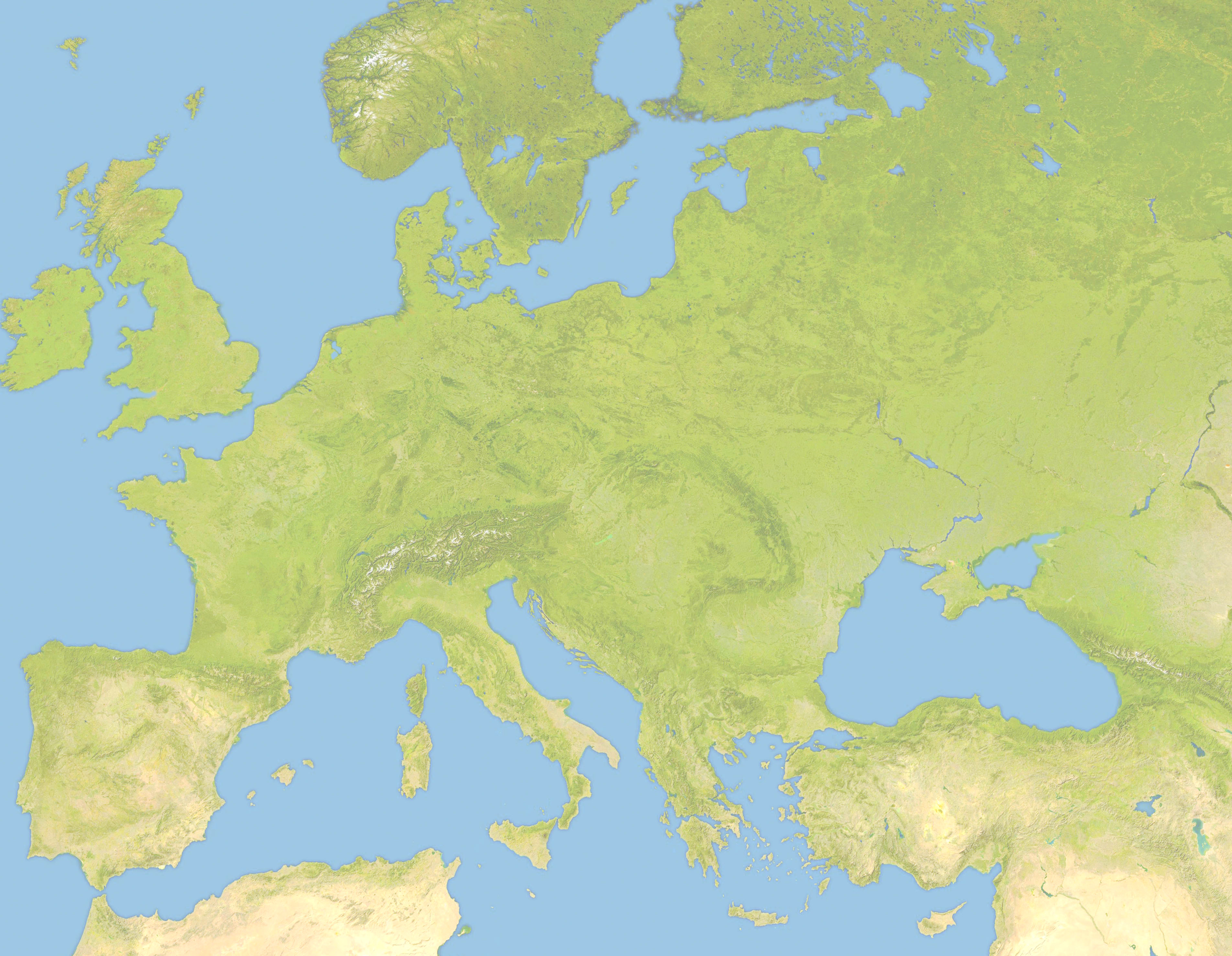
Deutsch: Positionskarte von Europa, Satellitenbild Quadratische Plattkarte, N-S-Streckung 150 %. Geographische Begrenzung der Karte: *N: 63.5° N * S: 34° N * W: -10.25° W * E: 46.8° E English: Location map of Europe, satellite image Equirectangular projection, N/S stretching 150 %. Geographic limits of the map: * N: 63.5° N * S: 34° N * W: -10.25° W * E: 46.8° E |
| Petsa | (UTC) |
| Gigikanan | |
| Tagsulat |
|
| This is a retouched picture, which means that it has been digitally altered from its original version. Modifications: Lighter and Geographic limits of the map: * N: 63.5° N * S: 34° N * W: -10.25° W * E: 46.8° E. The original can be viewed here: Europe satellite image location map.jpg:
|
I, the copyright holder of this work, hereby publish it under the following license:
| I, the copyright holder of this work, release this work into the public domain. This applies worldwide. In some countries this may not be legally possible; if so: I grant anyone the right to use this work for any purpose, without any conditions, unless such conditions are required by law. |
Original upload log
This image is a derivative work of the following images:
- File:Europe_satellite_image_location_map.jpg licensed with PD-self
- 2008-09-28T12:40:05Z NordNordWest 5668x3800 (1915310 Bytes) {{Information |Description= {{de|Positionskarte von [[:de:Europa|Europa]], Satellitenbild}} Quadratische Plattkarte, N-S-Streckung 150 %. Geographische Begrenzung der Karte: * N: 74° N * S: 34° N * W: 25° W * O: 60° O {{e
Uploaded with derivativeFX
Kaagi sa payl
I-klik ang petsa/oras aron makit-an ang hulagway sa payl niadtong panahona.
| Petsa/Takna | Thumbnail | Mga dimensyon | Tiggamit | Komento | |
|---|---|---|---|---|---|
| kasamtangan | 19:57, 22 Hunyo 2010 | | 3,807 × 2,954 (1.8 MB) | Victuallers | {{Information |Description={{de|Positionskarte von Europa, Satellitenbild}} Quadratische Plattkarte, N-S-Streckung 150 %. Geographische Begrenzung der Karte: * N: 72° N * S: 34° N * W: 25° W * O: 60° O {{en|Location map of [[:en:Europe| |
Mga paggamit sa payl
Ang mosunod nga mga panid misumpay niining payl:
Global nga paggamit sa payl
Kining ubang wiki naggamit ning maong payl:
- Paggamit sa ar.wikipedia.org
- Paggamit sa az.wikipedia.org
- Paggamit sa ba.wikipedia.org
- Paggamit sa be.wikipedia.org
- Paggamit sa ce.wikipedia.org
- Paggamit sa cv.wikipedia.org
- Paggamit sa da.wikipedia.org
- Paggamit sa en.wikipedia.org
- Third Crusade
- Battle of Pydna (148 BC)
- Battle of Narbonne (436)
- Third Battle of Tapae
- Domitian's Dacian War
- Battle of Adamclisi
- Battle of Rozgony
- Battle of Ostrovo
- Battle of Rhone Crossing
- Battle of Poznań (1704)
- Battle of Sarmizegetusa
- Siege of 's-Hertogenbosch (1601)
- History of the Expedition of the Emperor Frederick
- Siedlec Desert
- Battle of Roßbrunn
- Siege of Geertruidenberg (1351–1352)
- Paggamit sa fa.wikipedia.org
- Paggamit sa fr.wikipedia.org
- Paggamit sa inh.wikipedia.org
- Paggamit sa it.wikipedia.org
- Paggamit sa ka.wikipedia.org
- Paggamit sa kn.wikipedia.org
- Paggamit sa ml.wikipedia.org
- Paggamit sa pt.wikipedia.org
- Paggamit sa ru.wikipedia.org
- Paggamit sa sq.wikipedia.org
- Paggamit sa tr.wikipedia.org
View more global usage of this file.