Payl:Lebanon location map.svg

Size of this PNG preview of this SVG file: 521 x 600 ka mga piksel. Uban pang mga resoluyon: 208 x 240 ka mga piksel | 417 x 480 ka mga piksel | 667 x 768 ka mga piksel | 889 x 1,024 ka mga piksel | 1,779 x 2,048 ka mga piksel | 992 x 1,142 ka mga piksel.
Tibuok resolusyon (SVG nga payl, nominally 992 × 1,142 pixels, size sa payl: 219 KB)

|
The boundaries on this map show the de facto situation. This is just one of several different views on the subject (see COM:NPOV). |
Mubong sugid:
| Deskripsyon |
Deutsch: Positionskarte des Libanon
Quadratische Plattkarte, N-S-Streckung 115 %. Geographische Begrenzung der Karte:
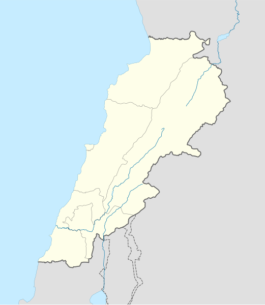
English: Location map of Lebanon
Equirectangular projection, N/S stretching 115 %. Geographic limits of the map:
|
| Petsa | |
| Gigikanan |
own work, using
|
| Tagsulat | NordNordWest |
| Other versions | Derivative works of this file: Israel and surroundings location map.svg |

|
This map has been made or improved in the German Kartenwerkstatt (Map Lab). You can propose maps to improve as well.
|
Pagtugot
I, the copyright holder of this work, hereby publish it under the following licenses:

|
Gitugot ang pagkopya, pag-apud-apod o/ug pag-usab ning maong dokumento ubos sa mga termino sa GNU Free Documentation License, Version 1.2 o mas bag-ong bersiyon nga gimantala sa Free Software Foundation; nga walay Invariant Sections, walay Front-Cover Texts, ug walay Back-Cover Texts. Ang kopya sa lisensiya gilakip sa bahin nga giulohang GNU Free Documentation License. |
This file is licensed under the Creative Commons Attribution-Share Alike 3.0 Unported license.
- Libre ka:
- sa pagsabwag – sa pagkopya, pag-apod-apod ug pagsabwag sa hinimo
- sa pag-remix – sa pag-adap sa binuhat
- Ubos sa mosunod nga mga kondisyon:
- atribusyon – Kinahanglan nimo nga hatagan ang angay nga kredito, maghatag usa ka link sa lisensya, ug ipakita kung adunay mga pagbag-o. Mahimo nimo kini buhaton sa bisan unsang makatarunganon nga paagi, apan dili sa bisan unsang paagi nga nagsugyot nga gi-endorso ka sa licensor o ang imong paggamit.
- share parehas – Kung imong gi-remix, gibag-o, o gibase sa materyal, kinahanglan nimo nga iapod-apod ang imong mga kontribusyon sa ilawom sa parehas o katugma nga lisensya sama sa orihinal.
You may select the license of your choice.
Kaagi sa payl
I-klik ang petsa/oras aron makit-an ang hulagway sa payl niadtong panahona.
| Petsa/Takna | Thumbnail | Mga dimensyon | Tiggamit | Komento | |
|---|---|---|---|---|---|
| kasamtangan | 20:31, 22 Agosto 2008 | | 992 × 1,142 (219 KB) | NordNordWest | |
| 20:08, 22 Agosto 2008 |  | 992 × 1,141 (219 KB) | NordNordWest | {{Information |Description= {{de|Positionskarte des Libanon}} Quadratische Plattkarte, N-S-Streckung 115 %. Geographische Begrenzung der Karte: * N: 34.9° N * S: 32.8° N * W: 34.8° O * O: 36.9° O {{en|Location map of [[:en:Lebanon|Leba |
Mga paggamit sa payl
More than 100 pages use this file. The following list shows the first 100 pages that use this file only. A full list is available.
- Abū Ţarbūsh
- Ain Baroud
- Ain Chara
- Ain Haddad
- Ain Moussa
- Ain el Hara
- Ain el Kharroub
- Ain el Melha
- Ain el Mir
- Ain es Safsaf
- Ain es Saltane
- Ain et Tine
- Al Jubayl
- Al Manzilah
- Al Maqţa‘
- Alia (pagklaro)
- Ar Ru’ays
- Awali
- Aïn Ahmed
- Aïn Moussa
- Aïn Oum Ali
- Aïn Safra
- Aïn el Abd
- Aïn el Aoura
- Aïn el Beïda
- Aïn el Hajar
- Aïn el Hamra
- Aïn el Hassa
- Aïn es Safsaf
- Beaufort
- Charta
- Douar
- Ech Chouar
- Ed Douair
- El Ghar
- El Hadeb
- El Haouch
- El Khandaq
- El Ksar
- El Merdj
- Er Rouissat
- Er Rous
- Es Sahra
- Es Senn
- Himara
- Héliopolis
- Jabal Musa
- Jabal Mūsá
- Jabal Sa‘d
- Jabal ar Ru’ūs
- Jabal ash Shaykh
- Jazīrat ar Ramlah
- Jazīrat aţ Ţawīlah
- Jebel el Hajar
- Jubayl
- Mazar
- Mazār
- Mount Herman
- Mount Lebanon
- Ouardé
- Rahrah
- Ras el Ain
- Ra’s al Kalb
- Ra’s al Mişrī
- Ra’s al Qal‘ah
- Ra’s al ‘Ayn
- Ra’s as Sa‘dīyāt
- Sayda
- Saïda
- Sidon
- Sur
- Tall ar Raşāş
- Wadi Umm `Ali
- Wādī Kuraym
- Wādī Umm ‘Alī
- Wādī ad Dayr
- Wādī al Abyaḑ
- Wādī al Maghārah
- Wādī al Maqsam
- Wādī al Qurayyah
- Wādī al ‘Ayn
- Wādī an Nakhlah
- Wādī ar Raml
- Wādī ash Sharqī
- Wādī ash Shaykh
- Wādī az Zarqā’
- Wādī aş Şafşāf
- Wādī aş Şawwānah
- Wādī aş Şihrīj
- Wādī Şafşāf
- Wādī ‘Umrān
- `Ayn al Qal`ah
- وادي المغارة
- ‘Ayn Mūsá
- ‘Ayn Zahr ad Dīn
- ‘Ayn al Jadīdah
- ‘Ayn al Qal‘ah
- ‘Ayn al Qaţţārah
- ‘Ayn al Wādī
- ‘Ayn ar Raml
View more links to this file.
Global nga paggamit sa payl
Kining ubang wiki naggamit ning maong payl:
- Paggamit sa af.wikipedia.org
- Paggamit sa als.wikipedia.org
- Paggamit sa an.wikipedia.org
- Paggamit sa ar.wikipedia.org
- دير مار أنطونيوس قزحيا
- قالب:خريطة مواقع لبنان
- عرسال
- نهر إبراهيم (نهر)
- قائمة مواقع التراث العالمي في لبنان
- تفجيرات بلدة القاع اللبنانية 2016
- قرار مجلس الأمن التابع للأمم المتحدة رقم 490
- مجزرة حولا
- إمدادات المياه والصرف الصحي في لبنان
- دير سيدة اللويزة
- دير سيدة راس بعلبك
- دير رقاد السيدة حماطورة
- مار ميماس (دير)
- دير مار قبريانوس ويوستينا
- Paggamit sa arz.wikipedia.org
- Paggamit sa az.wikipedia.org
- Paggamit sa ba.wikipedia.org
- Paggamit sa be-tarask.wikipedia.org
- Paggamit sa be.wikipedia.org
View more global usage of this file.