Payl:Miyagi-ken géolocalisation relief.svg

Size of this PNG preview of this SVG file: 498 x 599 ka mga piksel. Uban pang mga resoluyon: 199 x 240 ka mga piksel | 399 x 480 ka mga piksel | 638 x 768 ka mga piksel | 851 x 1,024 ka mga piksel | 1,702 x 2,048 ka mga piksel | 1,703 x 2,049 ka mga piksel.
Tibuok resolusyon (SVG nga payl, nominally 1,703 × 2,049 pixels, size sa payl: 3.21 MB)
Mubong sugid:
| Camera location | | View this and other nearby images on: OpenStreetMap |
|---|
| Deskripsyon |
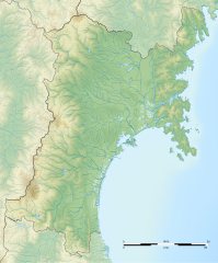
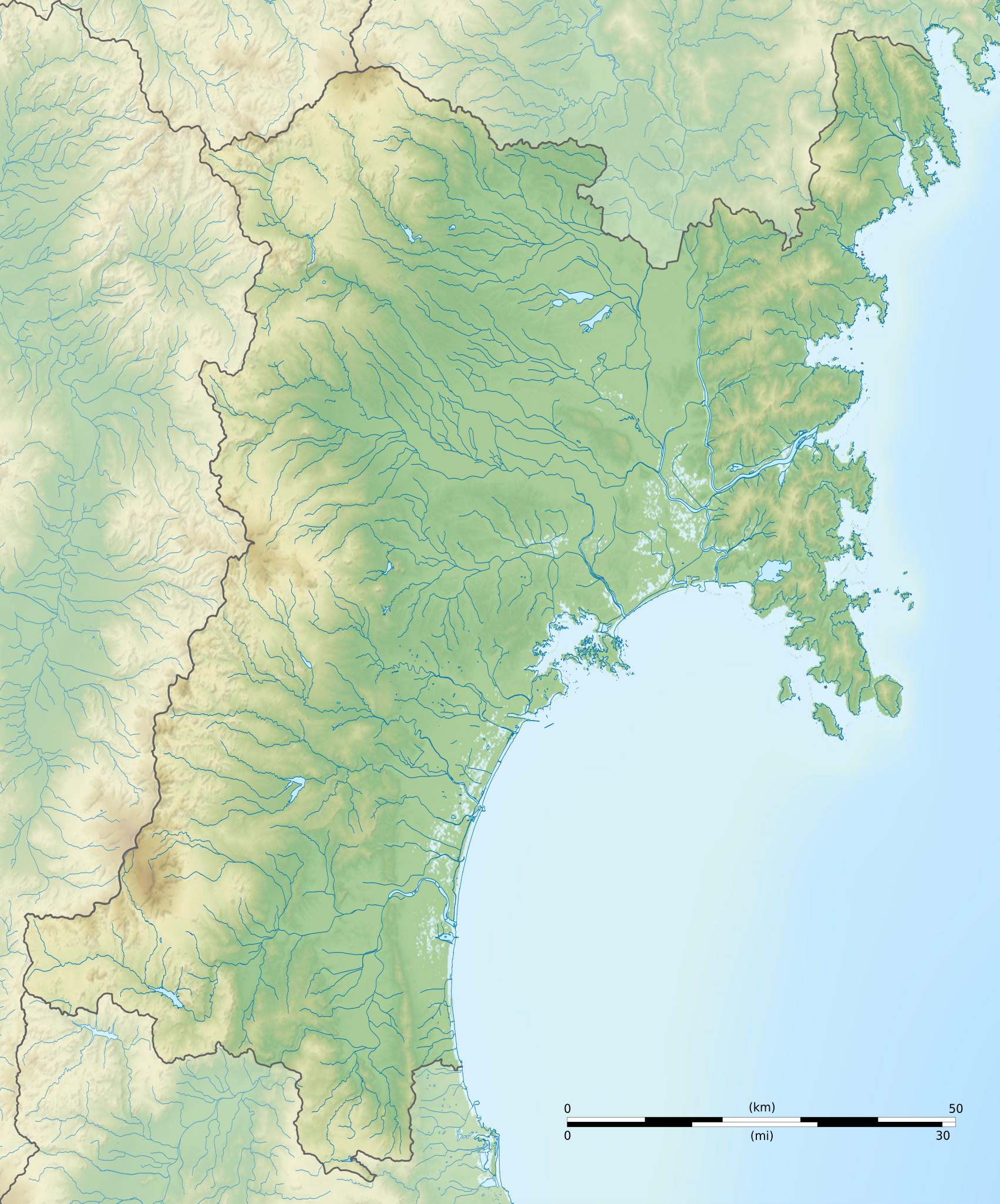
Français : Carte topographique vierge de la Préfecture de Miyagi, au Japon, destinée à la géolocalisation.
Deutsch: Topographische Karte der Präfektur Miyagi.
English: Topographic blank map of the Miyagi Prefecture, for geolocalisation purpose.
Español: Mapa topográfico de la Prefectura de Miyagi.
Italiano: Mappa topografica della Prefettura di Miyagi.
日本語: 宮城県の地図.
Português: Carta topográfica de la província de Miyagi.
|
||
| Petsa | (UTC) | ||
| Gigikanan |
Création personnelle ;
|
||
| Tagsulat | © Bourrichon (talk) - fr:Bourrichon | ||
| Pagtugot (Paggamit pag-usab niini nga file) |
|
||
| Other versions | File:Miyagi-ken géolocalisation.svg |
This W3C-unspecified vector image was created with Inkscape .
Pagtugot
I, the copyright holder of this work, hereby publish it under the following license:
This file is licensed under the Creative Commons Attribution-Share Alike 2.0 France license.
Attribution: Bourrichon (atelier graphique)
- Libre ka:
- sa pagsabwag – sa pagkopya, pag-apod-apod ug pagsabwag sa hinimo
- sa pag-remix – sa pag-adap sa binuhat
- Ubos sa mosunod nga mga kondisyon:
- atribusyon – Kinahanglan nimo nga hatagan ang angay nga kredito, maghatag usa ka link sa lisensya, ug ipakita kung adunay mga pagbag-o. Mahimo nimo kini buhaton sa bisan unsang makatarunganon nga paagi, apan dili sa bisan unsang paagi nga nagsugyot nga gi-endorso ka sa licensor o ang imong paggamit.
- share parehas – Kung imong gi-remix, gibag-o, o gibase sa materyal, kinahanglan nimo nga iapod-apod ang imong mga kontribusyon sa ilawom sa parehas o katugma nga lisensya sama sa orihinal.

Kaagi sa payl
I-klik ang petsa/oras aron makit-an ang hulagway sa payl niadtong panahona.
| Petsa/Takna | Thumbnail | Mga dimensyon | Tiggamit | Komento | |
|---|---|---|---|---|---|
| kasamtangan | 17:10, 10 Hulyo 2013 | | 1,703 × 2,049 (3.21 MB) | Bourrichon | erreur |
| 17:05, 10 Hulyo 2013 |  | 1,703 × 2,049 (2.9 MB) | Bourrichon | == {{int:filedesc}} == {{Location|38|30|00|N|141|00|00|E|scale:10000}} {{Information |Description= {{fr|Carte topographique vierge de la fr:Préfecture de Miyagi, au Japon, destinée à la géolocalisation.}} {{de|Topographische Ka... |
Mga paggamit sa payl
Ang mosunod nga mga panid misumpay niining payl:
Global nga paggamit sa payl
Kining ubang wiki naggamit ning maong payl:
- Paggamit sa ar.wikipedia.org
- Paggamit sa ce.wikipedia.org
- Paggamit sa de.wikipedia.org
- Paggamit sa en.wikipedia.org
- Mount Funagata
- Sakunami Onsen
- Oshika Peninsula
- Kamei Arena Sendai
- Zuigan-ji
- Aoba Castle
- JCB Classic
- Shiroishi Castle
- Kakuda Space Center
- Aratozawa Dam
- Hanayama Dam
- Kamafusa Dam
- Kejyonuma Dam
- Kurikoma Dam
- Minamikawa Dam
- Miyatoko Dam
- Naganuma Dam
- Nanakita Dam
- Naruko Dam
- Shichikashuku Dam
- Urushizawa Dam
- Taga Castle
- Entsū-in (Matsushima)
- Kōzō-ji (Kakuda)
- Saitō Garden (Ishinomaki)
- Satohama shell mound
- Mutsu Kokubun-ji
- Yūbikan
- Iwadeyama Castle
- Zaō Quasi-National Park
- Kurikoma Quasi-National Park
- Matsushima Prefectural Natural Park
- Zaō Kōgen Prefectural Natural Park
- Funagata Renpō Prefectural Natural Park
- Kenjōsan Mangokuura Prefectural Natural Park
- Akiu Great Falls
- Natori River
View more global usage of this file.