Payl:Paris department land cover location map.svg

Size of this PNG preview of this SVG file: 800 x 521 ka mga piksel. Uban pang mga resoluyon: 320 x 208 ka mga piksel | 640 x 417 ka mga piksel | 1,024 x 667 ka mga piksel | 1,280 x 834 ka mga piksel | 2,560 x 1,667 ka mga piksel | 1,371 x 893 ka mga piksel.
Tibuok resolusyon (SVG nga payl, nominally 1,371 × 893 pixels, size sa payl: 6.75 MB)
Mubong sugid:
| Title |
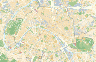
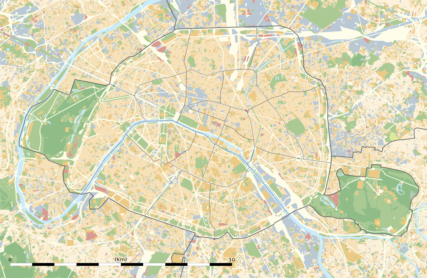
Blank land cover map of the city and department of Paris, France |
||||||||||||||||||||||||||||||||||||
| Description |
English: Blank land cover map of the city and department of Paris, France, as in January 2012, for geo-location purpose, with distinct boundaries for departments and arrondissements.
Français : Carte vierge de l'occupation du sol de la ville et département de Paris, France, tel qu'en janvier 2012, destinée à la géolocalisation, avec limite distincte des départements et arrondissements. |
||||||||||||||||||||||||||||||||||||
| Map legend |
|
||||||||||||||||||||||||||||||||||||
| Petsa | |||||||||||||||||||||||||||||||||||||
| Gigikanan |
Kaugalingong trabaho
|
||||||||||||||||||||||||||||||||||||
| Creator | |||||||||||||||||||||||||||||||||||||
| Pagtugot (Paggamit pag-usab niini nga file) |
|
||||||||||||||||||||||||||||||||||||
| Geotemporal data | |||||||||||||||||||||||||||||||||||||
| Date depicted | |||||||||||||||||||||||||||||||||||||
| Map location | Paris 48°51′24″N 2°21′03″E / 48.8567°N 2.3508°E | ||||||||||||||||||||||||||||||||||||
| Spatial reference system | WGS84 datum | ||||||||||||||||||||||||||||||||||||
| Scale | 1:124,000 (precision: 31 m) | ||||||||||||||||||||||||||||||||||||
| Heading |
 |
||||||||||||||||||||||||||||||||||||
| Bounding box |
|
||||||||||||||||||||||||||||||||||||
| Georeferencing | If inappropriate please set warp_status = skip to hide. | ||||||||||||||||||||||||||||||||||||
| Other versions |
|
||||||||||||||||||||||||||||||||||||


Pagtugot
Eric Gaba, Wikimedia Commons user Sting, the copyright holder of this work, hereby publishes it under the following license:
This file is licensed under the Creative Commons Attribution-Share Alike 3.0 Unported license.
Attribution: Eric Gaba, Wikimedia Commons user Sting
- Libre ka:
- sa pagsabwag – sa pagkopya, pag-apod-apod ug pagsabwag sa hinimo
- sa pag-remix – sa pag-adap sa binuhat
- Ubos sa mosunod nga mga kondisyon:
- atribusyon – Kinahanglan nimo nga hatagan ang angay nga kredito, maghatag usa ka link sa lisensya, ug ipakita kung adunay mga pagbag-o. Mahimo nimo kini buhaton sa bisan unsang makatarunganon nga paagi, apan dili sa bisan unsang paagi nga nagsugyot nga gi-endorso ka sa licensor o ang imong paggamit.
- share parehas – Kung imong gi-remix, gibag-o, o gibase sa materyal, kinahanglan nimo nga iapod-apod ang imong mga kontribusyon sa ilawom sa parehas o katugma nga lisensya sama sa orihinal.
Kaagi sa payl
I-klik ang petsa/oras aron makit-an ang hulagway sa payl niadtong panahona.
| Petsa/Takna | Thumbnail | Mga dimensyon | Tiggamit | Komento | |
|---|---|---|---|---|---|
| kasamtangan | 02:18, 12 Pebrero 2015 | | 1,371 × 893 (6.75 MB) | Sting | == {{int:filedesc}} == {{Location|48|51|22.5|N|02|20|37.5|E|scale:50000}} {{Information |Description={{en|Blank land cover map of the city and department of Paris, France, as in January 2012, for geo-location purpose, with distinct bounda... |
Mga paggamit sa payl
Ang mosunod nga mga panid misumpay niining payl:
Global nga paggamit sa payl
Kining ubang wiki naggamit ning maong payl:
- Paggamit sa als.wikipedia.org
- Paggamit sa ar.wikipedia.org
- Paggamit sa ast.wikipedia.org
- Paggamit sa azb.wikipedia.org
- Paggamit sa az.wikipedia.org
- Paggamit sa be.wikipedia.org
- Paggamit sa bg.wikipedia.org
- Бастилия
- Отьой
- Дефанс
- Пер Лашез
- Халите (Париж)
- Музей Орсе
- Монмартър
- Университет „Париж-VI: Пиер и Мария Кюри“
- Университет Париж-I Пантеон-Сорбона
- Университет Париж-VII: Дени Дидро
- Университет Пари-Дофин
- Национална библиотека на Франция
- Александър III (мост)
- Ил дьо ла Сите
- Монпарнас
- Маре (Париж)
- Жусийо (кампус)
- Музей на изкуството и историята на юдаизма
- Шаблон:ПК Франция Париж
View more global usage of this file.