Payl:South Africa Free State location map.svg

Size of this PNG preview of this SVG file: 672 x 599 ka mga piksel. Uban pang mga resoluyon: 269 x 240 ka mga piksel | 538 x 480 ka mga piksel | 861 x 768 ka mga piksel | 1,148 x 1,024 ka mga piksel | 2,296 x 2,048 ka mga piksel | 1,130 x 1,008 ka mga piksel.
Tibuok resolusyon (SVG nga payl, nominally 1,130 × 1,008 pixels, size sa payl: 286 KB)
Mubong sugid:
| Deskripsyon |
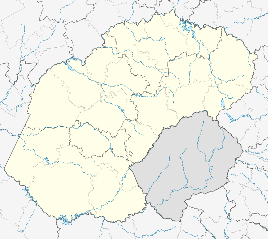
English: Location map of the Free State
Equirectangular projection, N/S stretching 114%. Geographic limits of the map:
|
| Petsa | |
| Gigikanan |
|
| Tagsulat | Htonl |
| Pagtugot (Paggamit pag-usab niini nga file) |
I, the copyright holder of this work, hereby publish it under the following license: This file is licensed under the Creative Commons Attribution-Share Alike 3.0 Unported license.
|
| Other versions | File:South Africa Free State relief location map.svg, File:Blank map of the Free State (2011).svg |
.svg)
Kaagi sa payl
I-klik ang petsa/oras aron makit-an ang hulagway sa payl niadtong panahona.
| Petsa/Takna | Thumbnail | Mga dimensyon | Tiggamit | Komento | |
|---|---|---|---|---|---|
| kasamtangan | 23:54, 5 Enero 2013 | | 1,130 × 1,008 (286 KB) | Htonl | == {{int:filedesc}} == {{Information |Description ={{en|Location map of the en:Free State Equirectangular projection, N/S stretching 114%. Geographic limits of the map: * N: 26.5° S * S: 31° S * W: 24.25° E * E: 30° E}} |Source = *... |
Mga paggamit sa payl
Ang mosunod nga 10 panid misumpay niining payl:
- Brakspruit
- Brakspruit (suba sa Habagatang Aprika, Free State, lat -28,05, long 28,09)
- Doringspruit
- Gansvleispruit
- Groenkop (bukid sa Habagatang Aprika, Free State)
- Harrismith
- Houthoekspruit
- Pampoenspruit (suba sa Habagatang Aprika, Free State)
- Rietspruit
- Plantilya:Location map South Africa Free State
Global nga paggamit sa payl
Kining ubang wiki naggamit ning maong payl:
- Paggamit sa af.wikipedia.org
- Bloemfontein
- Kroonstad
- Sasolburg
- Welkom
- Parys, Vrystaat
- Philippolis
- Bultfontein
- Trompsburg
- Rouxville
- Bethulie
- Bethlehem, Vrystaat
- Clarens, Vrystaat
- Fouriesburg
- Paul Roux
- Reitz
- Senekal
- Harrismith
- Kestell
- Lindley
- Wepener
- Golden Gate-Hoogland- Nasionale Park
- Clocolan
- Marquard
- Vrede, Vrystaat
- Memel, Vrystaat
- Arlington, Vrystaat
- Petrus Steyn
- Frankfort
- Villiers
- Cornelia
- Phuthaditjhaba
- Warden
- Ladybrand
- Ficksburg
- Rosendal
- Swinburne
- Tweeling, Vrystaat
- Zastron
- Excelsior, Vrystaat
- Hoopstad
- Sjabloon:Inligtingskas Nedersetting
- Jacobsdal
- Verkeerdevlei
- Winburg
- Botshabelo
- Vredefort
- Bothaville
- Jagersfontein
- Brandfort
- Koffiefontein
View more global usage of this file.