Payl:The Friars.jpg
Gidak-on ning maong paunang tan-aw: 800 x 479 ka mga piksel. Uban pang mga resoluyon: 320 x 192 ka mga piksel | 640 x 384 ka mga piksel | 1,024 x 614 ka mga piksel | 1,280 x 767 ka mga piksel | 2,174 x 1,303 ka mga piksel.
Tibuok resolusyon (2,174 × 1,303 pixels, size sa payl: 1.83 MB, MIME type: image/jpeg)
Mubong sugid:
| Deskripsyon |
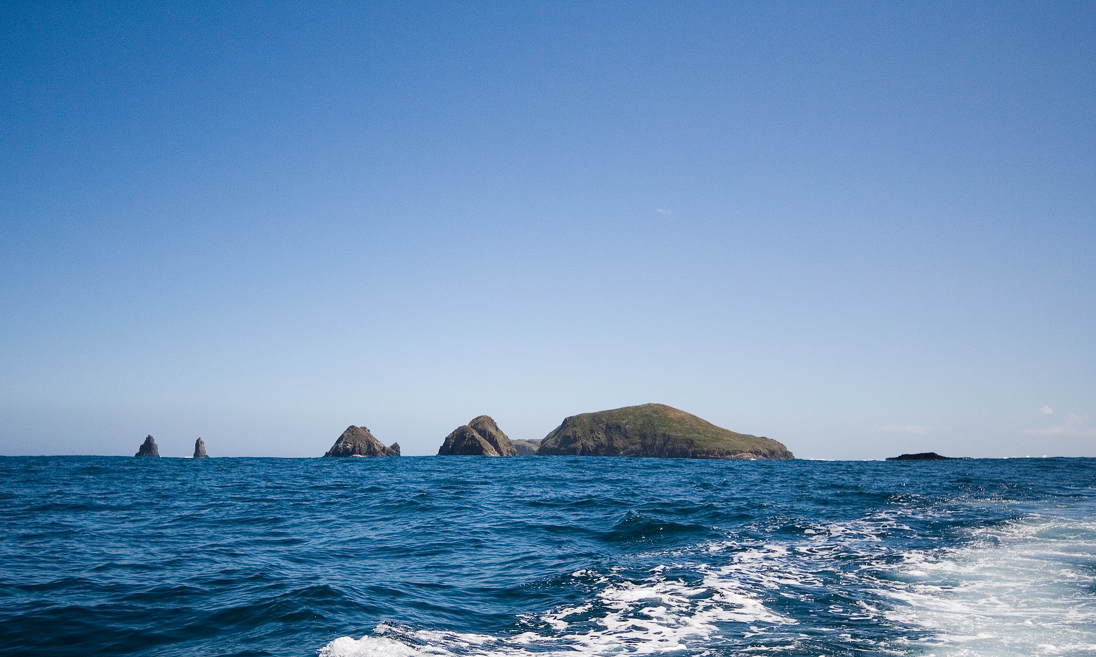
The Friar Island Group, forming part of the South Bruny National Park
|
| Petsa | |
| Gigikanan | Kaugalingong trabaho |
| Tagsulat | JJ Harrison (https://www.jjharrison.com.au/) |
| Pagtugot (Paggamit pag-usab niini nga file) |
Own work, share alike, attribution required (Creative Commons CC-BY-SA-2.5) |
| Camera location | | View this and other nearby images on: OpenStreetMap |
|---|
I, the copyright holder of this work, hereby publish it under the following license:
This file is licensed under the Creative Commons Attribution-Share Alike 2.5 Generic license.
- Libre ka:
- sa pagsabwag – sa pagkopya, pag-apod-apod ug pagsabwag sa hinimo
- sa pag-remix – sa pag-adap sa binuhat
- Ubos sa mosunod nga mga kondisyon:
- atribusyon – Kinahanglan nimo nga hatagan ang angay nga kredito, maghatag usa ka link sa lisensya, ug ipakita kung adunay mga pagbag-o. Mahimo nimo kini buhaton sa bisan unsang makatarunganon nga paagi, apan dili sa bisan unsang paagi nga nagsugyot nga gi-endorso ka sa licensor o ang imong paggamit.
- share parehas – Kung imong gi-remix, gibag-o, o gibase sa materyal, kinahanglan nimo nga iapod-apod ang imong mga kontribusyon sa ilawom sa parehas o katugma nga lisensya sama sa orihinal.
Kaagi sa payl
I-klik ang petsa/oras aron makit-an ang hulagway sa payl niadtong panahona.
| Petsa/Takna | Thumbnail | Mga dimensyon | Tiggamit | Komento | |
|---|---|---|---|---|---|
| kasamtangan | 08:40, 22 Enero 2009 | | 2,174 × 1,303 (1.83 MB) | JJ Harrison | {{Information |Description=The Friar Island Group, forming part of the South Bruny National Park |Source=Own work |Date= |Author=Noodle snacks |Permission=Own work, share alike, attribution required (Creative Commons CC-BY-SA-2.5) | |
Mga paggamit sa payl
Ang mosunod nga 2 panid misumpay niining payl:
Global nga paggamit sa payl
Kining ubang wiki naggamit ning maong payl:
- Paggamit sa en.wikipedia.org
- Paggamit sa en.wikivoyage.org
- Paggamit sa es.wikipedia.org
- Paggamit sa fr.wikipedia.org
- Paggamit sa fr.wikivoyage.org
- Paggamit sa pl.wikipedia.org
- Paggamit sa sv.wikipedia.org
- Paggamit sa www.wikidata.org