Bahía Antonio
Paghimo ni bot Lsjbot. |
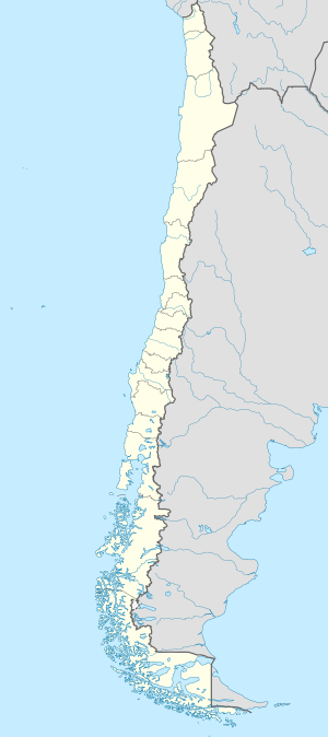
Luuk ang Bahía Antonio sa Tsile.[1] Nahimutang ni sa rehiyon sa Región de Magallanes y de la Antártica Chilena, sa habagatang bahin sa nasod, 2,100 km sa habagatan sa Santiago ang ulohan sa nasod.
| Bahía Antonio | |
| Bahía Antoine | |
| Luuk | |
| Nasod | |
|---|---|
| Rehiyon | Región de Magallanes y de la Antártica Chilena |
| Gitas-on | 8 m (26 ft) |
| Tiganos | 52°35′03″S 73°35′20″W / 52.5842°S 73.58902°W |
| Timezone | BRT (UTC-3) |
| - summer (DST) | EDT (UTC-4) |
| GeoNames | 3899532 |
| ||||||||||||||||||||||||||||||||||||||||||||||||||||||||||||||||||||||||||||||||||||||||||||||||||||||||||||||||||||||||||||
Ang mga gi basihan niini usba
- ↑ Bahía Antonio sa Geonames.org (cc-by); post updated 2013-01-11; database download sa 2016-01-31
- ↑ "NASA Earth Observations Data Set Index". NASA. Retrieved 30 Enero 2016.
