Payl:A6108 at Walburn - geograph.org.uk - 464082.jpg
Walay mas taas nga resolusyon.
A6108_at_Walburn_-_geograph.org.uk_-_464082.jpg (640 × 480 pixels, size sa payl: 98 KB, MIME type: image/jpeg)
Mubong sugid:
| Deskripsyon |
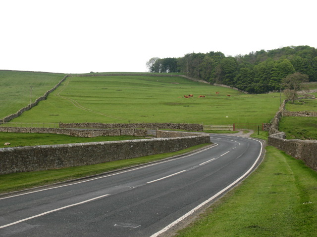
English: A6108 at Walburn Walburn is remarkable for both its fine hall, and for the extensive earthworks of the medieval village. The present road follows the line of a medieval street, which continued into the field seen in the photo. Here are the outlines of tofts and crofts, the outline of a green and hollow ways leading up the hillside. Elsewhere [out of photo] there is evidence of a mill and pond, more house platforms and areas of ridge and furrow. |
| Petsa | |
| Gigikanan | From geograph.org.uk |
| Tagsulat | Gordon Hatton |
| Attribution (required by the license) | Gordon Hatton / A6108 at Walburn / |
| Camera location | | View this and other nearby images on: OpenStreetMap |
|---|
_heading:67.00&language=ceb)
| Object location | | View this and other nearby images on: OpenStreetMap |
|---|
_heading:67.00&language=ceb)
Pagtugot

|
This image was taken from the Geograph project collection. See this photograph's page on the Geograph website for the photographer's contact details. The copyright on this image is owned by Gordon Hatton and is licensed for reuse under the Creative Commons Attribution-ShareAlike 2.0 license.
|
This file is licensed under the Creative Commons Attribution-Share Alike 2.0 Generic license.
Attribution: Gordon Hatton
- Libre ka:
- sa pagsabwag – sa pagkopya, pag-apod-apod ug pagsabwag sa hinimo
- sa pag-remix – sa pag-adap sa binuhat
- Ubos sa mosunod nga mga kondisyon:
- atribusyon – Kinahanglan nimo nga hatagan ang angay nga kredito, maghatag usa ka link sa lisensya, ug ipakita kung adunay mga pagbag-o. Mahimo nimo kini buhaton sa bisan unsang makatarunganon nga paagi, apan dili sa bisan unsang paagi nga nagsugyot nga gi-endorso ka sa licensor o ang imong paggamit.
- share parehas – Kung imong gi-remix, gibag-o, o gibase sa materyal, kinahanglan nimo nga iapod-apod ang imong mga kontribusyon sa ilawom sa parehas o katugma nga lisensya sama sa orihinal.
Kaagi sa payl
I-klik ang petsa/oras aron makit-an ang hulagway sa payl niadtong panahona.
| Petsa/Takna | Thumbnail | Mga dimensyon | Tiggamit | Komento | |
|---|---|---|---|---|---|
| kasamtangan | 17:43, 4 Pebrero 2011 | | 640 × 480 (98 KB) | GeographBot | == {{int:filedesc}} == {{Information |description={{en|1=A6108 at Walburn Walburn is remarkable for both its fine hall, and for the extensive earthworks of the medieval village. The present road follows the line of a medieval street, which continued into |
Mga paggamit sa payl
Ang mosunod nga mga panid misumpay niining payl:
Global nga paggamit sa payl
Kining ubang wiki naggamit ning maong payl:
- Paggamit sa en.wikipedia.org
- Paggamit sa fr.wikipedia.org
- Paggamit sa lld.wikipedia.org
- Paggamit sa pl.wikipedia.org
- Paggamit sa www.wikidata.org