Payl:Argentina Río Negro location map.svg

Size of this PNG preview of this SVG file: 798 x 600 ka mga piksel. Uban pang mga resoluyon: 319 x 240 ka mga piksel | 639 x 480 ka mga piksel | 1,022 x 768 ka mga piksel | 1,280 x 962 ka mga piksel | 2,560 x 1,924 ka mga piksel | 1,095 x 823 ka mga piksel.
Tibuok resolusyon (SVG nga payl, nominally 1,095 × 823 pixels, size sa payl: 352 KB)
Mubong sugid:
| Deskripsyon |
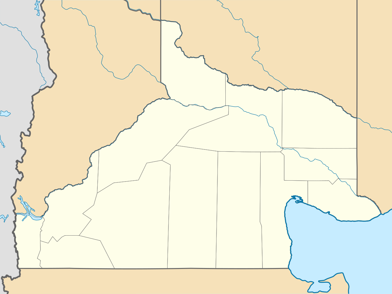
Deutsch: Positionskarte von Río Negro (Argentinien) English: Location map of Río Negro province (Argentina) Español: Mapa de localización de la Provincia de Río Negro.
Equirectangular projection, N/S stretching 130 %. Geographic limits of the map:
|
| Petsa | (UTC) |
| Gigikanan |
This file was derived from: |
| Tagsulat |
|
| Other versions |
|

Pagtugot
This file is licensed under the Creative Commons Attribution-Share Alike 3.0 Unported license.
- Libre ka:
- sa pagsabwag – sa pagkopya, pag-apod-apod ug pagsabwag sa hinimo
- sa pag-remix – sa pag-adap sa binuhat
- Ubos sa mosunod nga mga kondisyon:
- atribusyon – Kinahanglan nimo nga hatagan ang angay nga kredito, maghatag usa ka link sa lisensya, ug ipakita kung adunay mga pagbag-o. Mahimo nimo kini buhaton sa bisan unsang makatarunganon nga paagi, apan dili sa bisan unsang paagi nga nagsugyot nga gi-endorso ka sa licensor o ang imong paggamit.
- share parehas – Kung imong gi-remix, gibag-o, o gibase sa materyal, kinahanglan nimo nga iapod-apod ang imong mga kontribusyon sa ilawom sa parehas o katugma nga lisensya sama sa orihinal.
Original upload log
This image is a derivative work of the following images:
- File:Argentina_location_map.svg licensed with Cc-by-sa-3.0, GFDL
- File:Map_of_Río_Negro_Province.svg licensed with Cc-by-sa-3.0,2.5,2.0,1.0, GFDL
Uploaded with derivativeFX
Kaagi sa payl
I-klik ang petsa/oras aron makit-an ang hulagway sa payl niadtong panahona.
| Petsa/Takna | Thumbnail | Mga dimensyon | Tiggamit | Komento | |
|---|---|---|---|---|---|
| kasamtangan | 23:41, 26 Disyembre 2022 | | 1,095 × 823 (352 KB) | GrandEscogriffe | restretching, former one was incorrect due to incorrect documentation |
| 22:55, 23 Nobiyembre 2022 |  | 1,095 × 796 (353 KB) | GrandEscogriffe | more correct north-south stretching | |
| 20:30, 22 Oktubre 2017 |  | 1,095 × 692 (356 KB) | Janitoalevic | Límites más precisos. | |
| 09:34, 10 Septiyembre 2017 |  | 1,095 × 692 (352 KB) | Milenioscuro | capas | |
| 18:40, 25 Septiyembre 2012 |  | 1,095 × 692 (496 KB) | Milenioscuro | {{Information |Description ={{en|1=Location map of Río Negro province}} |Source ={{own}} |Author =Shadowxfox |Date = |Permission = |other_versions = }} |
Mga paggamit sa payl
Ang mosunod nga mga panid misumpay niining payl:
Global nga paggamit sa payl
Kining ubang wiki naggamit ning maong payl:
- Paggamit sa ar.wikipedia.org
- Paggamit sa bg.wikipedia.org
- Paggamit sa da.wikipedia.org
- Paggamit sa de.wikipedia.org
- Paggamit sa en.wikipedia.org
- Paggamit sa eo.wikipedia.org
- Paggamit sa es.wikipedia.org
- El Bolsón
- Viedma
- Cipolletti
- General Roca (Río Negro)
- San Antonio Oeste
- Las Grutas
- San Antonio Este
- Cinco Saltos
- Choele Choel
- Maquinchao
- Pilcaniyeu
- Sierra Grande
- General Enrique Godoy
- Villa Regina
- El Cuy
- Sierra Colorada
- Ñorquincó
- Río Colorado (Río Negro)
- Ingeniero Jacobacci
- General Conesa (Río Negro)
- Valcheta
- Aeropuerto Internacional Teniente Luis Candelaria
- Chimpay
- Allen
- El Cóndor (Río Negro)
- General Fernández Oro
- Dina Huapi
- Los Menucos
- Catriel (Río Negro)
- Lamarque (Río Negro)
- Playas Doradas
- Ingeniero Luis A. Huergo
- Villa Cerro Catedral
- Aguada Cecilio
View more global usage of this file.