Payl:Armenia location map.svg

Size of this PNG preview of this SVG file: 585 x 600 ka mga piksel. Uban pang mga resoluyon: 234 x 240 ka mga piksel | 468 x 480 ka mga piksel | 749 x 768 ka mga piksel | 999 x 1,024 ka mga piksel | 1,998 x 2,048 ka mga piksel | 1,169 x 1,198 ka mga piksel.
Tibuok resolusyon (SVG nga payl, nominally 1,169 × 1,198 pixels, size sa payl: 77 KB)

|
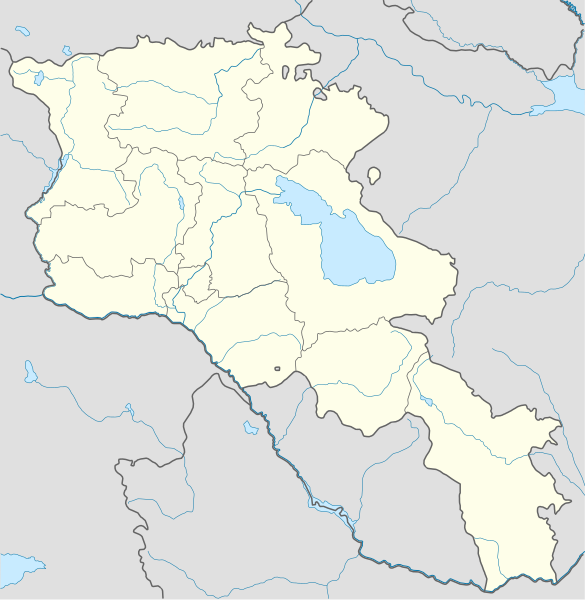
The boundaries on this map show the de facto situation. This is just one of several different views on the subject (see COM:NPOV). |
Mubong sugid:
| Deskripsyon |
Deutsch: Positionskarte von Armenien. Quadratische Plattkarte, N-S-Streckung 130 %. Geographische Begrenzung der Karte:
English: Location map of Armenia. Equirectangular projection, N/S stretching 130 %. Geographic limits of the map:
Français : Carte administrative muette de l'Arménie. Projection cylindrique équidistante, avec étirement nord-sud de 130%.
|
||
| Petsa | |||
| Gigikanan |
Kaugalingong trabaho, using
|
||
| Tagsulat | NordNordWest | ||
| Other versions | Derivative works of this file: Am-map he.svg | ||
| SVG genesis | |||
| Graphic Lab |
|

Pagtugot
I, the copyright holder of this work, hereby publish it under the following license:
This file is licensed under the Creative Commons Attribution-Share Alike 3.0 Unported license.
- Libre ka:
- sa pagsabwag – sa pagkopya, pag-apod-apod ug pagsabwag sa hinimo
- sa pag-remix – sa pag-adap sa binuhat
- Ubos sa mosunod nga mga kondisyon:
- atribusyon – Kinahanglan nimo nga hatagan ang angay nga kredito, maghatag usa ka link sa lisensya, ug ipakita kung adunay mga pagbag-o. Mahimo nimo kini buhaton sa bisan unsang makatarunganon nga paagi, apan dili sa bisan unsang paagi nga nagsugyot nga gi-endorso ka sa licensor o ang imong paggamit.
- share parehas – Kung imong gi-remix, gibag-o, o gibase sa materyal, kinahanglan nimo nga iapod-apod ang imong mga kontribusyon sa ilawom sa parehas o katugma nga lisensya sama sa orihinal.
Kaagi sa payl
I-klik ang petsa/oras aron makit-an ang hulagway sa payl niadtong panahona.
| Petsa/Takna | Thumbnail | Mga dimensyon | Tiggamit | Komento | |
|---|---|---|---|---|---|
| kasamtangan | 23:01, 22 Enero 2022 | | 1,169 × 1,198 (77 KB) | Geralt Riv | fix the svg error |
| 05:45, 19 Nobiyembre 2021 |  | 1,169 × 1,198 (209 KB) | A2D2 | The de facto border changed after the Second Nagorno-Karabakh War in 2020. | |
| 14:38, 3 Marso 2014 |  | 1,169 × 1,198 (154 KB) | NordNordWest | Reverted to version as of 17:18, 18 January 2014; please find your way to the discussion page first before reverting anything | |
| 10:18, 3 Marso 2014 |  | 1,169 × 1,198 (209 KB) | A2D2 | Reverted to version as of 19:55, 5 April 2012 | |
| 17:18, 18 Enero 2014 |  | 1,169 × 1,198 (154 KB) | NordNordWest | + de facto border | |
| 19:55, 5 Abril 2012 |  | 1,169 × 1,198 (209 KB) | Sémhur | ...with the former size | |
| 19:47, 5 Abril 2012 |  | 1,000 × 1,024 (208 KB) | Sémhur | Adding few rivers : Dzoraget, Aghstafa, Azat, Vedi and Megri | |
| 11:52, 15 Enero 2011 |  | 1,169 × 1,198 (271 KB) | NordNordWest | according to http://commons.wikimedia.org/w/index.php?title=User_talk%3AVarmin&action=historysubmit&diff=48288330&oldid=40674250 | |
| 17:54, 14 Enero 2011 |  | 1,160 × 1,190 (286 KB) | Varmin | concordance avec les autres cartes vectorisée. | |
| 16:58, 28 Agosto 2010 |  | 1,169 × 1,198 (271 KB) | NordNordWest | Barxudarlı, Yuxarı Əskipara and Karki stay officially non-Armenian (see en:List of enclaves and exclaves), no changes without discussion |
Mga paggamit sa payl
There are no pages that use this file.
Global nga paggamit sa payl
Kining ubang wiki naggamit ning maong payl:
- Paggamit sa av.wikipedia.org
- Paggamit sa az.wikisource.org
- Paggamit sa ba.wikipedia.org
- Paggamit sa bn.wikipedia.org
- Paggamit sa bs.wikipedia.org
- Paggamit sa ckb.wikipedia.org
- Paggamit sa de.wikipedia.org
- Paggamit sa de.wikivoyage.org
- Paggamit sa en.wikipedia.org
- Paggamit sa eo.wikipedia.org
- Paggamit sa es.wikipedia.org
- Paggamit sa fa.wikipedia.org
- Paggamit sa fr.wikipedia.org
- Matenadaran
- Stade Hrazdan
- Galerie nationale d'Arménie
- Stade Républicain Vazgen-Sargsian
- Stade Mika
- Stade Alashkert
- Stade Kasakhi Marzik
- Mère Arménie
- Université d'État d'ingénierie d'Arménie
- Projet:Cartographie/Cartes standards/Pays
- Mausolée d'Aghdsk
- Musée d'histoire de l'Arménie
- Erablur
- Université française en Arménie
- Wikipédia:Atelier graphique/Cartes/Archives/avril 2012
- Cimetière de Noradouz
- Musée Erebouni
- Université américaine d'Arménie
- Cinéma Moscou
- Temple de Garni
- Maison-musée Vazgen-Sargsian
- Module:Carte/données/arménie
- Musée historique de Sisian
- Stade Urartu
- Stade de l'Académie de football d'Erevan
- Paggamit sa gv.wikipedia.org
- Paggamit sa hy.wikipedia.org
- Paggamit sa incubator.wikimedia.org
View more global usage of this file.