Payl:Australia Victoria location map.svg

Tibuok resolusyon (SVG nga payl, nominally 1,375 × 967 pixels, size sa payl: 416 KB)
Mubong sugid:
| Deskripsyon |
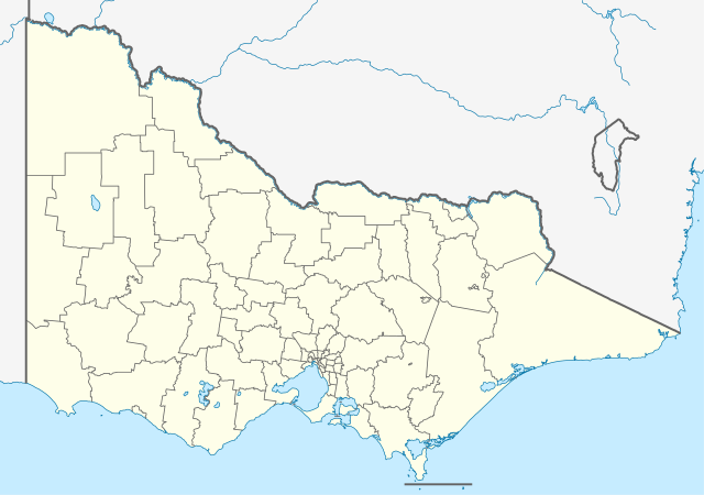
Quadratische Plattkarte, N-S-Streckung 124 %. Geographische Begrenzung der Karte:
Equirectangular projection, N/S stretching 124 %. Geographic limits of the map:
|
|
| Petsa | ||
| Gigikanan |
Kaugalingong trabaho, using
|
|
| Tagsulat | NordNordWest | |
| Pagtugot (Paggamit pag-usab niini nga file) |
This file is licensed under the Creative Commons Attribution-Share Alike 3.0 Germany license.
 This file is licensed under the Creative Commons Attribution-Share Alike 3.0 Germany license.
|
|
| Other versions |
Derivative works of this file:
|


|
This map has been made or improved in the German Kartenwerkstatt (Map Lab). You can propose maps to improve as well.
|
Kaagi sa payl
I-klik ang petsa/oras aron makit-an ang hulagway sa payl niadtong panahona.
| Petsa/Takna | Thumbnail | Mga dimensyon | Tiggamit | Komento | |
|---|---|---|---|---|---|
| kasamtangan | 22:08, 4 Abril 2010 | | 1,375 × 967 (416 KB) | Chumwa | Reverted to version as of 21:59, 1 January 2010 |
| 21:49, 4 Abril 2010 |  | 1,375 × 967 (273 KB) | Roke~commonswiki | local government low salience, dont appear on general use maps | |
| 21:59, 1 Enero 2010 |  | 1,375 × 967 (416 KB) | NordNordWest | =={{int:filedesc}}== {{Information |Description= {{de|Positionskarte von Victoria, Australien}} Quadratische Plattkarte, N-S-Streckung 124 %. Geographische Begrenzung der Karte: * N: 33.8° S * S: 39.3° S |
Mga paggamit sa payl
Ang mosunod nga 3 panid misumpay niining payl:
Global nga paggamit sa payl
Kining ubang wiki naggamit ning maong payl:
- Paggamit sa af.wikipedia.org
- Paggamit sa ba.wikipedia.org
- Paggamit sa be.wikipedia.org
- Paggamit sa bg.wikipedia.org
- Paggamit sa bh.wikipedia.org
- Paggamit sa bn.wikipedia.org
- Paggamit sa bs.wikipedia.org
- Paggamit sa ce.wikipedia.org
- Paggamit sa ckb.wikipedia.org
- Paggamit sa de.wikipedia.org
- Melbourne
- Rialto Towers
- Nauru House
- Woodside (Victoria)
- Warrnambool
- Echuca
- Eureka Tower
- Geelong
- Creswick
- Ballarat
- Koo Wee Rup
- Beaufort (Victoria)
- Shepparton
- Port Fairy
- Blackburn (Victoria)
- Mount Clear
- Lang Lang (Victoria)
- Melbourne Cricket Ground
- Benalla
- Wangaratta
- Bendigo
- Mildura
- Swan Hill
- Flughafen Melbourne
- Rod Laver Arena
View more global usage of this file.