Payl:Balkan-range-satellite.jpg

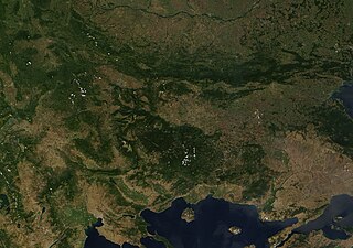
Gidak-on ning maong paunang tan-aw: 800 x 562 ka mga piksel. Uban pang mga resoluyon: 320 x 225 ka mga piksel | 640 x 450 ka mga piksel | 1,024 x 719 ka mga piksel | 1,280 x 899 ka mga piksel | 2,379 x 1,671 ka mga piksel.
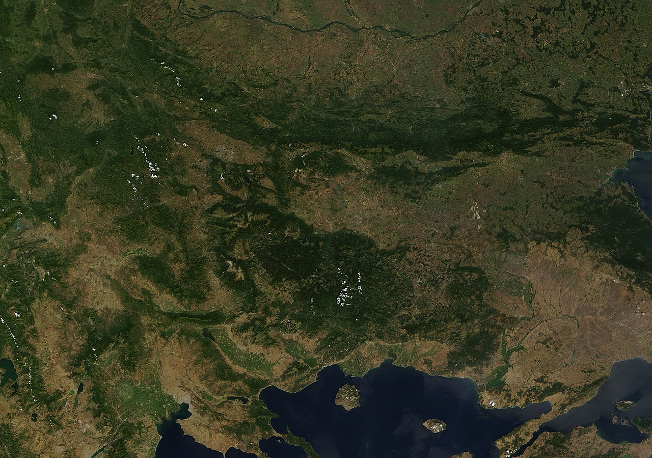
Tibuok resolusyon (2,379 × 1,671 pixels, size sa payl: 691 KB, MIME type: image/jpeg)
Mubong sugid:
| Deskripsyon | Satellite image of the Balkan mountains (Stara Planina). The mountain range is running across the territory of Bulgaria. |
| Gigikanan | NASA, Image:Satellite image of Greece.jpg |
| Tagsulat | User:Introvert |
| Pagtugot (Paggamit pag-usab niini nga file) |
Original image from NASA, cropped Image:Satellite image of Greece.jpg |
Pagtugot
| This file is in the public domain in the United States because it was solely created by NASA. NASA copyright policy states that "NASA material is not protected by copyright unless noted". (See Template:PD-USGov, NASA copyright policy page or JPL Image Use Policy.) | ||
 |
Warnings:
|
Kaagi sa payl
I-klik ang petsa/oras aron makit-an ang hulagway sa payl niadtong panahona.
| Petsa/Takna | Thumbnail | Mga dimensyon | Tiggamit | Komento | |
|---|---|---|---|---|---|
| kasamtangan | 23:38, 21 Disyembre 2005 | | 2,379 × 1,671 (691 KB) | Introvert | {{Information| |Description=Satellite image of the Balkan mountains (Stara Planina). The moutain range is running across the territory of Bulgaria. |Source=NASA |Date= |Author=User:Introvert |Permission=Original image from NASA, cropped |other |
Mga paggamit sa payl
Ang mosunod nga mga panid misumpay niining payl:
Global nga paggamit sa payl
Kining ubang wiki naggamit ning maong payl:
- Paggamit sa arz.wikipedia.org
- Paggamit sa ast.wikipedia.org
- Paggamit sa az.wikipedia.org
- Paggamit sa ba.wikipedia.org
- Paggamit sa be.wikipedia.org
- Paggamit sa br.wikipedia.org
- Paggamit sa ca.wikipedia.org
- Paggamit sa ckb.wikipedia.org
- Paggamit sa da.wikipedia.org
- Paggamit sa eo.wikipedia.org
- Paggamit sa eo.wikiquote.org
- Paggamit sa eu.wikipedia.org
- Paggamit sa fr.wikinews.org
- Paggamit sa fr.wikivoyage.org
- Paggamit sa ga.wikipedia.org
- Paggamit sa ia.wikipedia.org
- Paggamit sa kab.wikipedia.org
- Paggamit sa kcg.wikipedia.org
- Paggamit sa ku.wikipedia.org
- Paggamit sa sv.wikipedia.org
- Paggamit sa tg.wikipedia.org
- Paggamit sa tt.wikipedia.org
- Paggamit sa vec.wikipedia.org
- Paggamit sa www.wikidata.org