Payl:Belgium location map.svg

Size of this PNG preview of this SVG file: 689 x 599 ka mga piksel. Uban pang mga resoluyon: 276 x 240 ka mga piksel | 552 x 480 ka mga piksel | 883 x 768 ka mga piksel | 1,177 x 1,024 ka mga piksel | 2,355 x 2,048 ka mga piksel | 1,136 x 988 ka mga piksel.
Tibuok resolusyon (SVG nga payl, nominally 1,136 × 988 pixels, size sa payl: 120 KB)
Mubong sugid:
| Deskripsyon |
Deutsch: Positionskarte von Belgien
Quadratische Plattkarte, N-S-Streckung 157,218 %. Geographische Begrenzung der Karte:
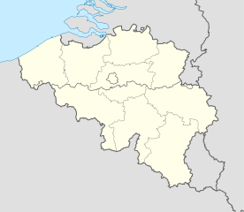
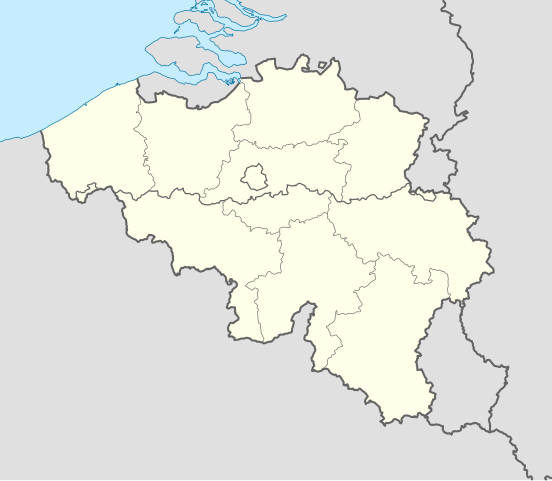
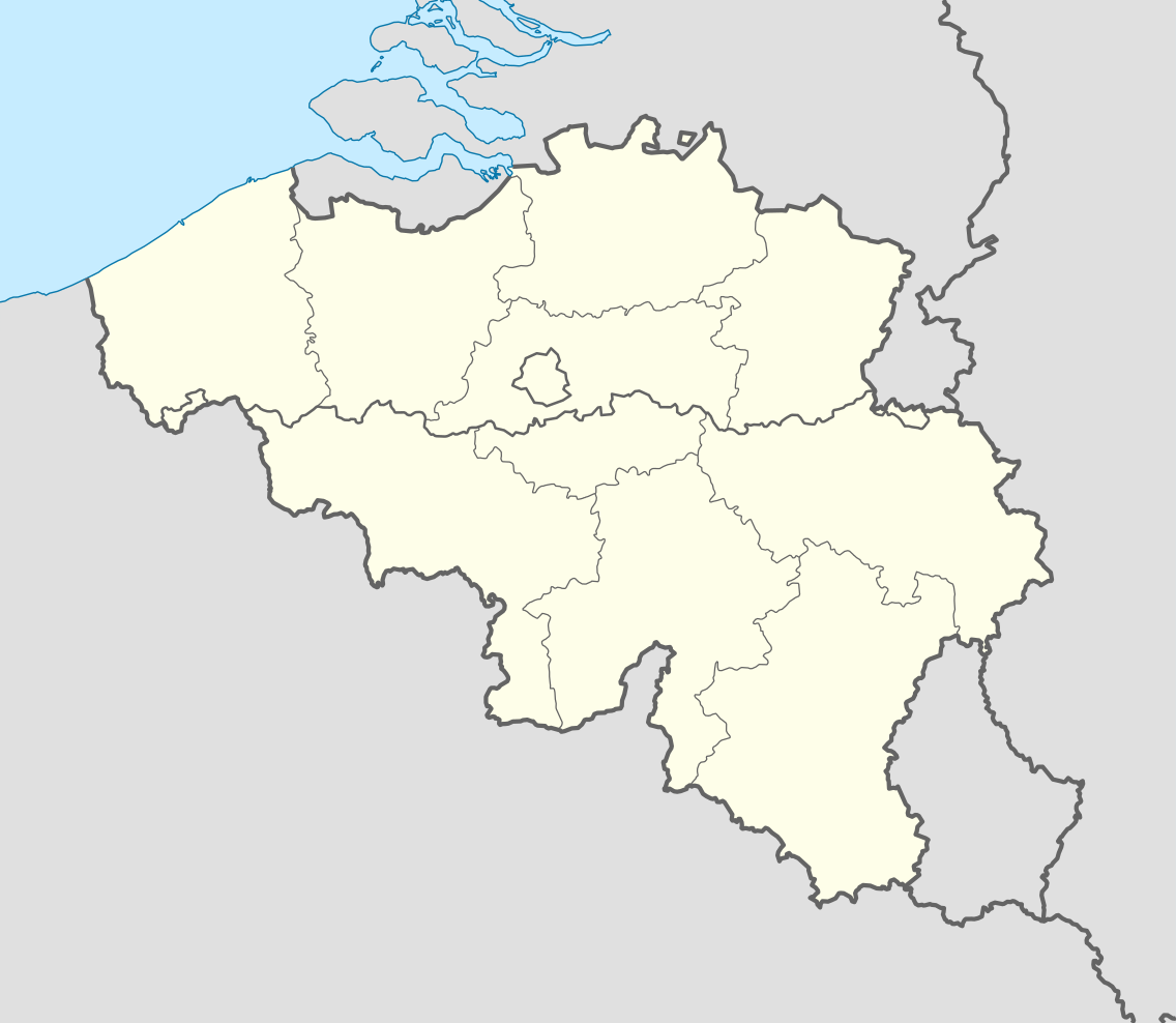
English: Location map of Belgium
Equirectangular projection, N/S stretching 157.218 %. Geographic limits of the map:
|
||
| Petsa | |||
| Gigikanan | Kaugalingong trabaho (Original text: own work, using United States National Imagery and Mapping Agency data) | ||
| Tagsulat | NordNordWest | ||
| Other versions |
Derivative works of this file: |
||
| SVG genesis | This locator map was created with Adobe Illustrator by NordNordWest.
|


_location.svg)
_location.svg)
_location.svg)
_location.svg)
Pagtugot
I, the copyright holder of this work, hereby publish it under the following licenses:

|
Gitugot ang pagkopya, pag-apud-apod o/ug pag-usab ning maong dokumento ubos sa mga termino sa GNU Free Documentation License, Version 1.2 o mas bag-ong bersiyon nga gimantala sa Free Software Foundation; nga walay Invariant Sections, walay Front-Cover Texts, ug walay Back-Cover Texts. Ang kopya sa lisensiya gilakip sa bahin nga giulohang GNU Free Documentation License. |
This file is licensed under the Creative Commons Attribution-Share Alike 3.0 Unported license.
- Libre ka:
- sa pagsabwag – sa pagkopya, pag-apod-apod ug pagsabwag sa hinimo
- sa pag-remix – sa pag-adap sa binuhat
- Ubos sa mosunod nga mga kondisyon:
- atribusyon – Kinahanglan nimo nga hatagan ang angay nga kredito, maghatag usa ka link sa lisensya, ug ipakita kung adunay mga pagbag-o. Mahimo nimo kini buhaton sa bisan unsang makatarunganon nga paagi, apan dili sa bisan unsang paagi nga nagsugyot nga gi-endorso ka sa licensor o ang imong paggamit.
- share parehas – Kung imong gi-remix, gibag-o, o gibase sa materyal, kinahanglan nimo nga iapod-apod ang imong mga kontribusyon sa ilawom sa parehas o katugma nga lisensya sama sa orihinal.
You may select the license of your choice.
Kaagi sa payl
I-klik ang petsa/oras aron makit-an ang hulagway sa payl niadtong panahona.
| Petsa/Takna | Thumbnail | Mga dimensyon | Tiggamit | Komento | |
|---|---|---|---|---|---|
| kasamtangan | 18:26, 23 Septiyembre 2010 | | 1,136 × 988 (120 KB) | NordNordWest | upd |
| 18:42, 25 Agosto 2008 |  | 1,136 × 945 (159 KB) | NordNordWest | size correction | |
| 19:01, 9 Hulyo 2008 |  | 379 × 315 (156 KB) | NordNordWest | {{Information |Description= {{de|Positionskarte von Belgien}} Quadratische Plattkarte, N-S-Streckung 150 %. Geographische Begrenzung der Karte: * N: 51.8° N * S: 49.2° N * W: 2.2° O * O: 6.9° O {{en|Location map of [[:en:Belgium|Belgiu |
Mga paggamit sa payl
More than 100 pages use this file. The following list shows the first 100 pages that use this file only. A full list is available.
- Aa (pagklaro)
- Amel
- Appelzak
- Bach (pagklaro)
- Beaumont
- Berchem
- Bergen
- Beringen
- Bourgogne (pagklaro)
- Bruselas
- Buchenberg
- Buchholz
- Cale
- Canal de Bruges
- Chavanne (pagklaro)
- Courcelles
- Coutures
- Cowan
- De Geul
- De Zoom
- Demer
- Den Helder
- Dworp
- Eisch
- Falise
- Ferrières
- Forest
- Gand
- Geul
- Geule
- Geulle
- Grootebeek
- Grote Beek
- Ham
- Haren
- Hartberg
- Havre (pagklaro)
- Heer
- Hill
- Hohbusch
- Hornbach
- Itter
- Itterbeek
- Kale
- Kapellen
- Kessel
- Kohler
- Komen
- Kreuz Berg
- Langer Berg
- Leie
- Leij
- Leye
- Lieve
- Lot (pagklaro)
- Luxembourg (pagklaro)
- Meisenberg
- Millebaach
- Moll
- Mullenbach
- Muno
- Nete
- Pede
- Remicourt
- Reuland
- Rochefort
- Rouvroy
- Roux (pagklaro)
- Saint-Léger
- Samson (pagklaro)
- Senne
- Sille
- Steinkopf
- Strange
- Temple (pagklaro)
- Verne (pagklaro)
- Vise
- Wiltz
- Zande
- Zaventem
- Zedelgem
- Zelzate
- Zemst
- Zingem
- Zoersel
- Zomergem
- Zonhoven
- Zonnebeke
- Zottegem
- Zoutleeuw
- Zuienkerke
- Zulte
- Zutendaal
- Zwalm
- Zwart Water
- Zwartberg
- Zwartebeek
- Zwartwater
- Zwevegem
- Zwijndrecht
View more links to this file.
Global nga paggamit sa payl
Kining ubang wiki naggamit ning maong payl:
- Paggamit sa ar.wikipedia.org
- Paggamit sa av.wikipedia.org
- Paggamit sa azb.wikipedia.org
- Paggamit sa ban.wikipedia.org
- Paggamit sa be.wikimedia.org
- Wiki Loves Monuments/website/Photo tour 28 September 2014/lb
- Wiki Loves Monuments/website/Photo tour 28 September 2014/fr
- Wiki Loves Monuments/website/Photo tour 28 September 2014/de
- Wiki Loves Monuments/website/Photo tour 28 September 2014/nl
- Wiki Loves Monuments/website/Photo tour 28 September 2014
- Uitnodiging voor de fototocht Wiki Takes... Leuven op 28 september 2014
- Invitation to the photo tour Wiki Takes... Leuven on 28 September 2014
- Invitation balade photographique Wiki Takes... Louvain, le 28 Septembre 2014
- Paggamit sa bn.wikipedia.org
- Paggamit sa bs.wikipedia.org
- Paggamit sa ca.wikipedia.org
- Paggamit sa ch.wikipedia.org
- Paggamit sa ckb.wikipedia.org
- Paggamit sa cs.wikipedia.org
- Paggamit sa de.wikipedia.org
- Wikipedia:Kartenwerkstatt/Positionskarten/Europa
- Eishockey-Eredivisie (Belgien) 1992/93
- Eishockey-Eredivisie (Belgien) 1993/94
- Eishockey-Eredivisie (Belgien) 1994/95
- Eishockey-Eredivisie (Belgien) 1995/96
- Eishockey-Eredivisie (Belgien) 1996/97
- Eishockey-Eredivisie (Belgien) 1997/98
- Eishockey-Eredivisie (Belgien) 1998/99
- Eishockey-Eredivisie (Belgien) 1999/2000
- Eishockey-Eredivisie (Belgien) 2000/01
- Eishockey-Eredivisie (Belgien) 2001/02
- Eishockey-Eredivisie (Belgien) 2002/03
- Eishockey-Eredivisie (Belgien) 2003/04
- Eishockey-Eredivisie (Belgien) 2004/05
- Eishockey-Eredivisie (Belgien) 2005/06
- Eishockey-Eredivisie (Belgien) 2006/07
- Eishockey-Eredivisie (Belgien) 2007/08
- Eishockey-Eredivisie (Belgien) 2008/09
- Eishockey-Eredivisie (Belgien) 2009/10
- Eishockey-Eredivisie (Belgien) 2011/12
- Eishockey-Eredivisie (Belgien) 2012/13
- Eishockey-Eredivisie (Belgien) 2013/14
View more global usage of this file.