Payl:Buckinghamshire UK location map.svg

Size of this PNG preview of this SVG file: 507 x 600 ka mga piksel. Uban pang mga resoluyon: 203 x 240 ka mga piksel | 406 x 480 ka mga piksel | 649 x 768 ka mga piksel | 865 x 1,024 ka mga piksel | 1,731 x 2,048 ka mga piksel | 1,070 x 1,266 ka mga piksel.
Tibuok resolusyon (SVG nga payl, nominally 1,070 × 1,266 pixels, size sa payl: 2.13 MB)
| Deskripsyon |
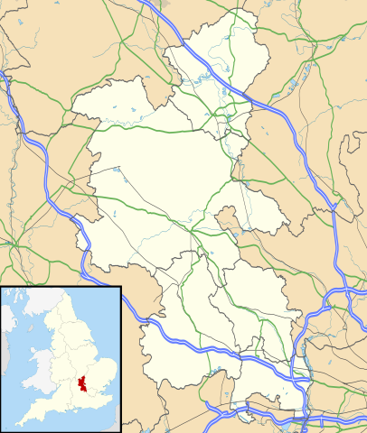
Map of Buckinghamshire, UK with the following information shown:
Equirectangular map projection on WGS 84 datum, with N/S stretched 160% Geographic limits:
|
| Petsa | |
| Gigikanan |
|
| Tagsulat | Nilfanion, created using Ordnance Survey data |
| Pagtugot (Paggamit pag-usab niini nga file) |
This file is licensed under the Creative Commons Attribution-Share Alike 3.0 Unported license. Attribution: Contains Ordnance Survey data © Crown copyright and database right
|
| Other versions | File:Buckinghamshire UK district map (blank).svg - Blank map |
.svg)
Kaagi sa payl
I-klik ang petsa/oras aron makit-an ang hulagway sa payl niadtong panahona.
| Petsa/Takna | Thumbnail | Mga dimensyon | Tiggamit | Komento | |
|---|---|---|---|---|---|
| kasamtangan | 18:41, 26 Septiyembre 2010 | | 1,070 × 1,266 (2.13 MB) | Nilfanion | {{Information |Description=Map of Buckinghamshire, UK with the following information shown: *Administrative borders *Coastline, lakes and rivers *Roads and railways *Urban areas Equirectangular map projection on WGS 84 datum, with N |
Mga paggamit sa payl
Ang mosunod nga mga panid misumpay niining payl:
Global nga paggamit sa payl
Kining ubang wiki naggamit ning maong payl:
- Paggamit sa ar.wikipedia.org
- Paggamit sa bg.wikipedia.org
- Paggamit sa cs.wikipedia.org
- Paggamit sa en.wikipedia.org
- Amersham
- Milton Keynes
- High Wycombe
- Aylesbury
- Buckingham
- Maids Moreton
- Southcourt
- West Wycombe
- Chesham
- Quarrendon
- Bedgrove
- Stoke Mandeville
- Great and Little Kimble cum Marsh
- Cheddington
- New Zealand, Buckinghamshire
- California, Buckinghamshire
- Aston Clinton
- Beaconsfield
- Bierton
- Wendover
- Broughton, Aylesbury
- Great and Little Hampden
- Winslow, Buckinghamshire
- Cliveden
- Amersham station
- RAF Halton
- Long Crendon
- Shabbington
- Addington, Buckinghamshire
- Adstock
- Monks Risborough
- Princes Risborough
- Calvert, Buckinghamshire
- Woughton (parish)
- Olney, Buckinghamshire
- Hughenden Valley
- Castlethorpe
- Watermead, Buckinghamshire
- Caldecote, Buckinghamshire
- Whiteleaf, Buckinghamshire
- Newport Pagnell
- Tylers Green
- Dorney
- Stowe, Buckinghamshire
- Stoke Hammond
View more global usage of this file.