Payl:Burkina Faso location map.svg

Size of this PNG preview of this SVG file: 800 x 589 ka mga piksel. Uban pang mga resoluyon: 320 x 236 ka mga piksel | 640 x 471 ka mga piksel | 1,024 x 754 ka mga piksel | 1,280 x 943 ka mga piksel | 2,560 x 1,886 ka mga piksel | 900 x 663 ka mga piksel.
Tibuok resolusyon (SVG nga payl, nominally 900 × 663 pixels, size sa payl: 406 KB)
Mubong sugid:
| Deskripsyon |
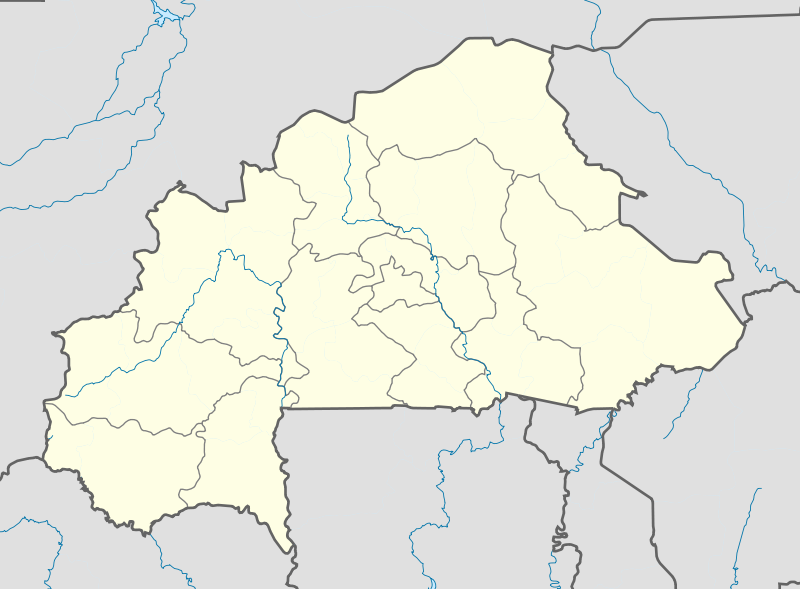
English: Location map of Burkina Faso Equirectangular projection. Strechted by 102%. Geographic limits of the map:
  * N: 15.5° N
  * S: 9° N
  * W: 6° W
  * E: 3° E
Made with Natural Earth. Free vector and raster map data @ naturalearthdata.com. |
| Petsa | |
| Gigikanan | Kaugalingong trabaho |
| Tagsulat | Uwe Dedering |
| Other versions |
|

Pagtugot
I, the copyright holder of this work, hereby publish it under the following licenses:
This file is licensed under the Creative Commons Attribution-Share Alike 3.0 Unported license.
- Libre ka:
- sa pagsabwag – sa pagkopya, pag-apod-apod ug pagsabwag sa hinimo
- sa pag-remix – sa pag-adap sa binuhat
- Ubos sa mosunod nga mga kondisyon:
- atribusyon – Kinahanglan nimo nga hatagan ang angay nga kredito, maghatag usa ka link sa lisensya, ug ipakita kung adunay mga pagbag-o. Mahimo nimo kini buhaton sa bisan unsang makatarunganon nga paagi, apan dili sa bisan unsang paagi nga nagsugyot nga gi-endorso ka sa licensor o ang imong paggamit.
- share parehas – Kung imong gi-remix, gibag-o, o gibase sa materyal, kinahanglan nimo nga iapod-apod ang imong mga kontribusyon sa ilawom sa parehas o katugma nga lisensya sama sa orihinal.

|
Gitugot ang pagkopya, pag-apud-apod o/ug pag-usab ning maong dokumento ubos sa mga termino sa GNU Free Documentation License, Version 1.2 o mas bag-ong bersiyon nga gimantala sa Free Software Foundation; nga walay Invariant Sections, walay Front-Cover Texts, ug walay Back-Cover Texts. Ang kopya sa lisensiya gilakip sa bahin nga giulohang GNU Free Documentation License. |
You may select the license of your choice.
Kaagi sa payl
I-klik ang petsa/oras aron makit-an ang hulagway sa payl niadtong panahona.
| Petsa/Takna | Thumbnail | Mga dimensyon | Tiggamit | Komento | |
|---|---|---|---|---|---|
| kasamtangan | 11:10, 15 Pebrero 2010 | | 900 × 663 (406 KB) | Uwe Dedering | stretching fixed |
| 19:57, 14 Pebrero 2010 |  | 900 × 663 (406 KB) | Uwe Dedering | {{Information |Description={{en|1=English: English: Location map of Burkina Faso Equirectangular projection. Geographic limits of the map: * N: 15.5° N * S: 9° N * W: 6° W * E: 3° E Made with Natural Earth. Free vector and raster map dat |
Mga paggamit sa payl
More than 100 pages use this file. The following list shows the first 100 pages that use this file only. A full list is available.
- Babe
- Balé
- Bango
- Bare
- Beli
- Bina
- Biri
- Bole
- Bolo
- Bombara
- Bondo
- Boro (pagklaro)
- Borom
- Daga
- Dala
- Dama (pagklaro)
- Dan
- Dema
- Dira (pagklaro)
- Dori
- Dui
- Est
- Gaua
- Goa
- Ioba
- Kadio
- Kanso
- Kapa
- Karaba
- Kaya
- Koba
- Kobo
- Konga
- Kongo
- Kora
- Labi
- Loa
- Longo
- Mana (pagklaro)
- Manga (pagklaro)
- Massa
- Masso
- Mina
- Moko
- Mom
- Nabe
- Nanga
- Nord (pagklaro)
- Ouako
- Pama
- Pana
- Panga
- Pena
- Po
- Poni
- Ralo
- Sa
- Sama
- Sella
- Son (pagklaro)
- Soyo
- Sumi
- Suo
- Tchinde
- Tebe
- Tengo
- Tete
- Tieri
- Tilga
- Toma
- Toudou
- Touka
- Toura (pagklaro)
- Tugan
- Tui
- Tuili
- Tyeko
- Vindé Paka
- Voyo
- Wako
- Wamena
- Wangara
- Wanndo Aoura
- We
- Wekere
- Were
- Wore
- Woroma
- Wé
- Wéré
- Yako
- Yakouba
- Yali
- Yamako
- Yari
- Yaro
- Yasso
- Yengué
- Youngou
- Zame
View more links to this file.
Global nga paggamit sa payl
Kining ubang wiki naggamit ning maong payl:
- Paggamit sa af.wikipedia.org
- Paggamit sa als.wikipedia.org
- Paggamit sa am.wikipedia.org
- Paggamit sa an.wikipedia.org
- Paggamit sa ar.wikipedia.org
- Paggamit sa ast.wikipedia.org
- Paggamit sa azb.wikipedia.org
- تودو
- سیو
- بوبو دیولاسو
- فارا
- سوندره
- تانداقا
- ریسیام
- تانقونا
- زانا موقو
- لوسا
- کاقامزینکه
- کوکولوقو
- تبرا (بورزانقا)
- نیاکونقو
- تونتنقا
- کومبانقو
- اوئی
- لیلبوره
- بیلبالوقو
- تیا (سیقله)
- کوری (ساپونه)
- سیمیدین
- نابزینیقویما
- زانو (تیکاره)
- ویدی
- دوسی
- سوریالا
- سارکونقا
- زورا
- سوکوندوقو
- کیلو (تیکاره)
- بن (تانسیلا)
- سورقو-یارقو
- بوندا
- کومبوس-یونقو
- تیو (تیو)
- قودو، نانورو
- ناپالقوئه (تیکاره)
View more global usage of this file.