Payl:Côte d'Ivoire adm location map.svg

Tibuok resolusyon (SVG nga payl, nominally 1,323 × 1,336 pixels, size sa payl: 374 KB)
Mubong sugid:
| Deskripsyon |
Deutsch: Positionskarte von Elfenbeinküste
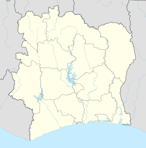
English: Location map of Côte d'Ivoire
|
||||||||||||
| Petsa | |||||||||||||
| Gigikanan |
Own work using:
|
||||||||||||
| Tagsulat | NordNordWest | ||||||||||||

|
This map has been made or improved in the German Kartenwerkstatt (Map Lab). You can propose maps to improve as well.
|
Pagtugot
Usage of this file with:

explanatory notes: Legally binding is only the full legalcode. For a free usage I recommend to respect the following licence conditions:
1. Provide my name as given above: NordNordWest,
2. a copy of, or the URI for, the applicable license: https://creativecommons.org/licenses/by-sa/3.0/de/legalcode,
3. the title of the work,
4. in the case of an adaptation, a credit identifying the use of the work in the adaptation.
This license and the rights granted hereunder will terminate automatically upon any breach by you of the terms of this license. Any of the above conditions can be waived if you get permission from the copyright holder. If you have questions or wish differing conditions, please contact me through nnwest or my discussion page ![]() t-online.de
t-online.de
- Libre ka:
- sa pagsabwag – sa pagkopya, pag-apod-apod ug pagsabwag sa hinimo
- sa pag-remix – sa pag-adap sa binuhat
- Ubos sa mosunod nga mga kondisyon:
- atribusyon – Kinahanglan nimo nga hatagan ang angay nga kredito, maghatag usa ka link sa lisensya, ug ipakita kung adunay mga pagbag-o. Mahimo nimo kini buhaton sa bisan unsang makatarunganon nga paagi, apan dili sa bisan unsang paagi nga nagsugyot nga gi-endorso ka sa licensor o ang imong paggamit.
- share parehas – Kung imong gi-remix, gibag-o, o gibase sa materyal, kinahanglan nimo nga iapod-apod ang imong mga kontribusyon sa ilawom sa parehas o katugma nga lisensya sama sa orihinal.

Kaagi sa payl
I-klik ang petsa/oras aron makit-an ang hulagway sa payl niadtong panahona.
| Petsa/Takna | Thumbnail | Mga dimensyon | Tiggamit | Komento | |
|---|---|---|---|---|---|
| kasamtangan | 21:48, 14 Hulyo 2015 | | 1,323 × 1,336 (374 KB) | NordNordWest | == {{int:filedesc}} == {{Information |Description= {{de|1=Positionskarte von Elfenbeinküste}} {{en|1=Location map of Côte d'Ivoire}} {{Location map series N |stretching=101 |top=11 |bottom=4 |left=-9 |right=-2 }} |Source={{Own using}} * United States... |
Mga paggamit sa payl
More than 100 pages use this file. The following list shows the first 100 pages that use this file only. A full list is available.
- Abia
- Ador
- Aloka
- Anne
- Baba
- Bala
- Banda
- Banga
- Bango
- Bangolo
- Bara (pagklaro)
- Bey (pagklaro)
- Biri
- Boba
- Boma
- Bombo
- Bondo
- Bongo
- Boto
- Bu
- Bubo (pagklaro)
- Cacala
- Dabor
- Dagon (pagklaro)
- Dala
- Diria
- Go
- Gola
- Goma
- Gongo
- Gongola
- Gozo
- Hire
- Hogo
- Kara
- Kobo
- Kogbo
- Koh
- Kombo
- Kongo
- Labo
- Laka
- Lala
- Leba
- Lele
- Lina
- Loa
- Lobo
- Loho
- Loka (pagklaro)
- Lokolo
- Longa
- Lope
- Lotogo
- Loua
- Lowa
- Mana (pagklaro)
- Mandala
- Me
- Memba
- Miri
- Mo (pagklaro)
- Molo (pagklaro)
- Moua
- Mé
- Ndo
- Non
- Noé
- Passa (pagklaro)
- Pinda (pagklaro)
- Po
- River Yubo
- Sa
- Sama
- San Pedro (pagklaro)
- Sanga
- Sango
- Se
- Selo
- Sesse
- Soapi
- Sombo
- Son (pagklaro)
- Songo
- Tanda
- Tanga
- Teba
- Tebe
- Tengo
- Tete
- Titi
- Toa
- Toma
- Toro
- Tuba
- Ve
- Vene
- Wasi
- Wawa
- Zango
View more links to this file.
Global nga paggamit sa payl
Kining ubang wiki naggamit ning maong payl:
- Paggamit sa af.wikipedia.org
- Paggamit sa an.wikipedia.org
- Paggamit sa ar.wikipedia.org
- Paggamit sa ary.wikipedia.org
- Paggamit sa ast.wikipedia.org
- Paggamit sa azb.wikipedia.org
- Paggamit sa bn.wikipedia.org
- Paggamit sa bxr.wikipedia.org
- Paggamit sa ca.wikipedia.org
- Paggamit sa de.wikipedia.org
View more global usage of this file.