Payl:Canada location map.svg

Size of this PNG preview of this SVG file: 706 x 599 ka mga piksel. Uban pang mga resoluyon: 283 x 240 ka mga piksel | 566 x 480 ka mga piksel | 905 x 768 ka mga piksel | 1,207 x 1,024 ka mga piksel | 2,413 x 2,048 ka mga piksel | 1,084 x 920 ka mga piksel.
Tibuok resolusyon (SVG nga payl, nominally 1,084 × 920 pixels, size sa payl: 155 KB)
Mubong sugid:
| Deskripsyon |
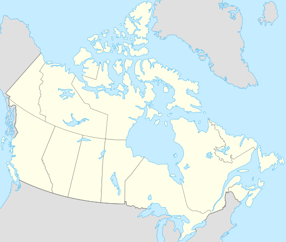
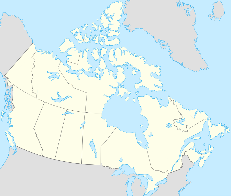
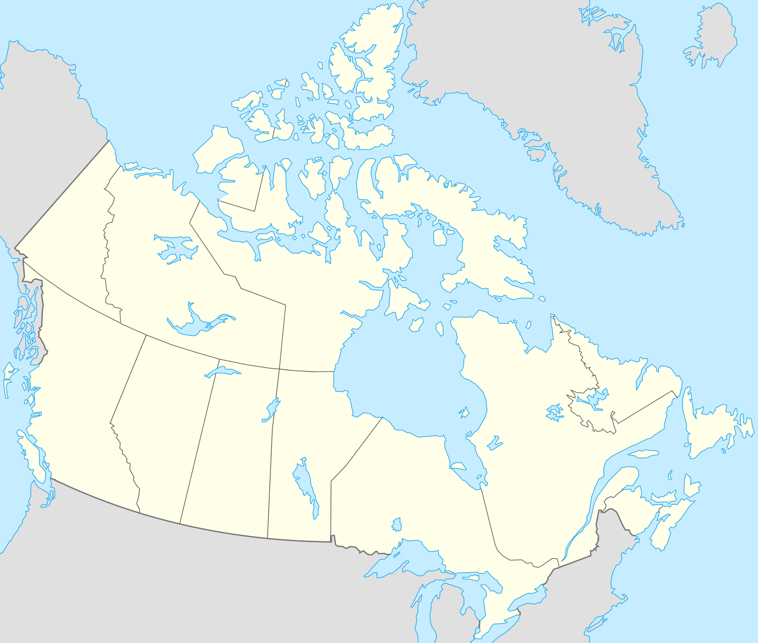
Français : Version recadrée et épurée de Carte administrative du Canada.svg pour la géolocation du Canada. Le cadrage est x=80px, y=166px, height=920, width=1084. Quelques positions :
English: cropped version of Carte administrative du Canada.svg for map location. |
|||||||||||||||||||||
| Petsa | ||||||||||||||||||||||
| Gigikanan | Canada (geolocalisation).svg by STyx | |||||||||||||||||||||
| Tagsulat | Yug | |||||||||||||||||||||
| Other versions |
Derivative works of this file: |
|||||||||||||||||||||
| SVG genesis |
|


.svg)
.svg)
}}
I, the copyright holder of this work, hereby publish it under the following licenses:
This file is licensed under the Creative Commons Attribution-Share Alike 2.5 Generic, 2.0 Generic and 1.0 Generic license.
- Libre ka:
- sa pagsabwag – sa pagkopya, pag-apod-apod ug pagsabwag sa hinimo
- sa pag-remix – sa pag-adap sa binuhat
- Ubos sa mosunod nga mga kondisyon:
- atribusyon – Kinahanglan nimo nga hatagan ang angay nga kredito, maghatag usa ka link sa lisensya, ug ipakita kung adunay mga pagbag-o. Mahimo nimo kini buhaton sa bisan unsang makatarunganon nga paagi, apan dili sa bisan unsang paagi nga nagsugyot nga gi-endorso ka sa licensor o ang imong paggamit.
- share parehas – Kung imong gi-remix, gibag-o, o gibase sa materyal, kinahanglan nimo nga iapod-apod ang imong mga kontribusyon sa ilawom sa parehas o katugma nga lisensya sama sa orihinal.

|
Gitugot ang pagkopya, pag-apud-apod o/ug pag-usab ning maong dokumento ubos sa mga termino sa GNU Free Documentation License, Version 1.2 o mas bag-ong bersiyon nga gimantala sa Free Software Foundation; nga walay Invariant Sections, walay Front-Cover Texts, ug walay Back-Cover Texts. Ang kopya sa lisensiya gilakip sa bahin nga giulohang GNU Free Documentation License. |
| This file is licensed under the Creative Commons Attribution-Share Alike 3.0 Unported license. | ||
| ||
| This licensing tag was added to this file as part of the GFDL licensing update. |
You may select the license of your choice.
Original upload log
This image is a derivative work of the following images:
- Canada (geolocalisation).svg licensed with Cc-by-sa-2.5,2.0,1.0, GFDL
- 2007-02-07T01:48:11Z STyx 1084x920 (95884 Bytes) retouche mineure
- 2007-02-07T01:41:09Z STyx 1084x920 (95939 Bytes) {{Information |Description= *{{fr}} Version recadrée et épurée de [[:Image:Carte administrative du Canada.svg]] pour la géolocation du Canada. Le cadrage est x=80px, y=166px, height=920, width=10
Uploaded with derivativeFX
Kaagi sa payl
I-klik ang petsa/oras aron makit-an ang hulagway sa payl niadtong panahona.
| Petsa/Takna | Thumbnail | Mga dimensyon | Tiggamit | Komento | |
|---|---|---|---|---|---|
| kasamtangan | 19:27, 17 Abril 2021 | | 1,084 × 920 (155 KB) | Akeosnhaoe | draw in w:Killiniq Island as part of Nunavut and fix Smallwood Reservoir color |
| 18:24, 16 Abril 2021 |  | 1,084 × 920 (155 KB) | Akeosnhaoe | recreate previous 2 edits from the original to fix some borders on the water not being blue | |
| 16:13, 26 Enero 2014 |  | 1,084 × 920 (67 KB) | Ras67 | -frame | |
| 22:53, 18 Hulyo 2008 |  | 1,084 × 920 (113 KB) | Yug | {{Information |Description= |Source= |Date= |Author= |Permission= |other_versions= }} | |
| 22:18, 17 Hulyo 2008 |  | 1,084 × 920 (155 KB) | Yug | {{Information |Description=*{{fr}} Version recadrée et épurée de Image:Carte administrative du Canada.svg pour la géolocation du Canada. Le cadrage est x=80px, y=166px, height=920, width=1084. Quelques positions : <center><table style="border:1px |
Mga paggamit sa payl
More than 100 pages use this file. The following list shows the first 100 pages that use this file only. A full list is available.
- Beaumont
- Christian Valley
- Cinnamon Island
- Courcelles
- Crump Island
- Deep Bay
- English Point
- Falmouth
- Ferris Point
- Fisher Hill
- Five Islands
- Flat Point
- Flat Top Hill
- Freeman Point
- Friars Head
- Frys Point
- Galley Bay
- Goat Island
- Goat Point
- Grays Point
- Green Bay
- Green Island
- Green Islet
- Guard Point
- Half Moon Bay
- Hawes Island
- Henry Island
- Hermitage Bay
- High Point
- Hudson Point
- Hughes Point
- Indian Creek Point
- Isaac Point
- James Bay
- James Point
- Johnson Island
- Johnson Islet
- Johnson Point
- Johnsons Point
- Kid Island
- Kid Point
- Lobster Island
- Long Bay
- Long Island
- Low Bay
- Maiden Island
- Maiden Islet
- Man of War Island
- Man of War Point
- Marble Hill
- Middle Reef
- Moor Island
- Morris Bay
- Mount Thomas
- Muddy Bay
- Musgrave Point
- Nanny Island
- North West Channel
- Old Fort Point
- Pelican Bay
- Pelican Island
- Pelican Islet
- Pelican Point
- Pig Point
- Pillar Rock
- Pinnacle Rock
- Pointed Hill
- Proctor Point
- Rabbit Island
- Ramsay Bay
- Rat Island
- Red Cliff
- Reed Point
- Reeds Point
- Saddle Hill
- Saint John
- Saint John's
- Sandy Island
- Scott Hill
- Scotts Hill
- Shoal Point
- Signal Hill
- Smith Hill
- Smith Island
- Soldier Point
- South Channel
- South Point
- St. John's
- Table Hill
- Table Mountain
- The Creek
- The Highlands
- The Narrows
- The Pinnacle
- The Ridge
- The Sisters
- Vernon Island
- West Channel
- White Cliff
- William Point
View more links to this file.
Global nga paggamit sa payl
Kining ubang wiki naggamit ning maong payl:
- Paggamit sa af.wikipedia.org
- Paggamit sa als.wikipedia.org
- Paggamit sa an.wikipedia.org
- Paggamit sa ar.wikipedia.org
- Paggamit sa arz.wikipedia.org
- Paggamit sa ast.wikipedia.org
- Gran Premiu de Canadá de 2007
- Gran Premiu de Canadá de 2006
- Gran Premiu de Canadá de 2008
- Montes Rocosos
- Windsor (Ontario)
- Ontario
- Islla del Cabu Bretón
- Nueva Escocia
- Islla Valdés
- Alberta
- Nueva Brunswick
- Nunavut
- Islla Killiniq
- Aeropuertu de Powell River
- London (Ontario)
- Toronto
- York University
- Alert
View more global usage of this file.