Payl:Canarias-loc.svg

Size of this PNG preview of this SVG file: 512 x 277 ka mga piksel. Uban pang mga resoluyon: 320 x 173 ka mga piksel | 640 x 346 ka mga piksel | 1,024 x 554 ka mga piksel | 1,280 x 693 ka mga piksel | 2,560 x 1,385 ka mga piksel.
Tibuok resolusyon (SVG nga payl, nominally 512 × 277 pixels, size sa payl: 3.09 MB)
Mubong sugid:
This locator map was created with Inkscape.
| Deskripsyon |
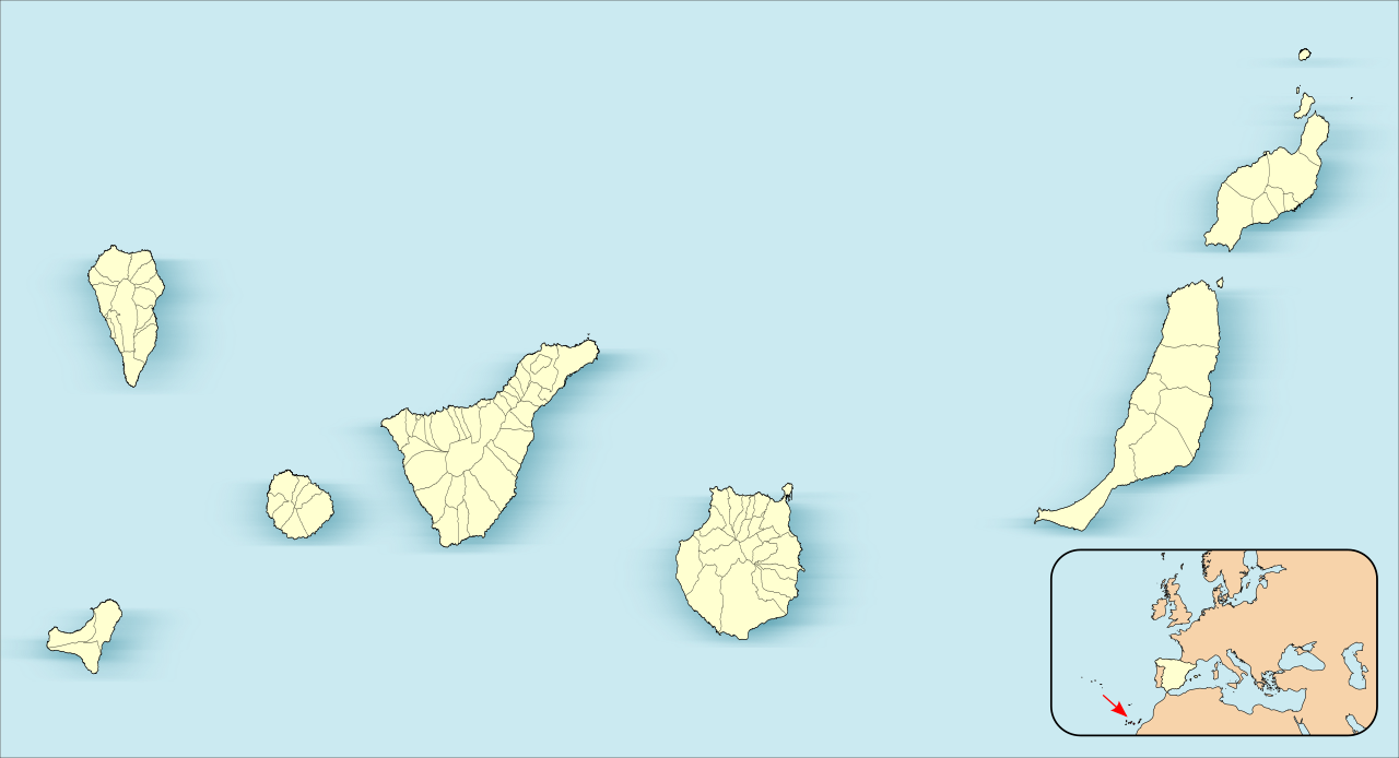
English: Location map of Canary Islands
Equirectangular projection, N/S stretching 130 %. Geographic limits of the map:
Español: Mapa de localización de las Islas Canarias
Proyección equirrectangular (cilíndrica equidistante), N/S estirada 130 %. Límites geográficos del mapa:
|
| Petsa | |
| Gigikanan | Own work based on: EspañaLoc.svg by HansenBCN |
| Tagsulat | Miguillen |
|
This map has been made or improved in the Spanish Taller de Cartografía (Map Lab). You can propose maps to improve as well.
|
Pagtugot
Miguillen, the copyright holder of this work, hereby publishes it under the following license:
This file is licensed under the Creative Commons Attribution-Share Alike 3.0 Unported license.
Attribution: Miguillen
- Libre ka:
- sa pagsabwag – sa pagkopya, pag-apod-apod ug pagsabwag sa hinimo
- sa pag-remix – sa pag-adap sa binuhat
- Ubos sa mosunod nga mga kondisyon:
- atribusyon – Kinahanglan nimo nga hatagan ang angay nga kredito, maghatag usa ka link sa lisensya, ug ipakita kung adunay mga pagbag-o. Mahimo nimo kini buhaton sa bisan unsang makatarunganon nga paagi, apan dili sa bisan unsang paagi nga nagsugyot nga gi-endorso ka sa licensor o ang imong paggamit.
- share parehas – Kung imong gi-remix, gibag-o, o gibase sa materyal, kinahanglan nimo nga iapod-apod ang imong mga kontribusyon sa ilawom sa parehas o katugma nga lisensya sama sa orihinal.
Kaagi sa payl
I-klik ang petsa/oras aron makit-an ang hulagway sa payl niadtong panahona.
| Petsa/Takna | Thumbnail | Mga dimensyon | Tiggamit | Komento | |
|---|---|---|---|---|---|
| kasamtangan | 17:27, 3 Hunyo 2012 | | 512 × 277 (3.09 MB) | Miguillen | |
| 16:26, 3 Hunyo 2012 |  | 512 × 264 (3.1 MB) | Miguillen | ||
| 15:58, 3 Hunyo 2012 |  | 512 × 264 (3.1 MB) | Miguillen | actualizo | |
| 15:39, 21 Nobiyembre 2010 |  | 512 × 290 (130 KB) | Miguillen | Estiro un 130% | |
| 17:40, 18 Nobiyembre 2010 |  | 512 × 223 (76 KB) | Miguillen | amplio área | |
| 17:39, 18 Nobiyembre 2010 | 512 × 192 (83 KB) | Miguillen | == {{int:filedesc}} == {{Information |Description={{en|Location map of Canary Island}} Equirectangular projection, N/S stretching 130 %. Geographic limits of the map: * N: ° N * S: ° N * W: ° O * E: ° O {{es|Mapa de localiza |
Mga paggamit sa payl
Ang mosunod nga mga panid misumpay niining payl:
Global nga paggamit sa payl
Kining ubang wiki naggamit ning maong payl:
- Paggamit sa an.wikipedia.org
- Las Palmas de Gran Canaria
- Santa Cruz de Tenerife
- San Cristóbal de La Laguna
- Valverde (El Hierro)
- Gran Canaria Arena
- Pabillón Insular Santiago Martín
- Granadilla de Abona
- Plantilla:Mapa de localización Islas Canarias
- Adeje
- Agulo
- Arafo
- Arona
- Candelaria (Tenerife)
- Barlovento (Santa Cruz de Tenerife)
- Breña Alta
- Breña Baja
- El Paso
- Santa Cruz de La Palma
- San Sebastián de la Gomera
- Alajeró
- Arico
- Buenavista del Norte
- Fuencaliente de la Palma
- Icod de los Vinos
- La Orotava
- Puerto de la Cruz
- Tazacorte
- Tijarafe
- La Matanza de Acentejo
- La Victoria de Acentejo
- Santiago del Teide
- El Sauzal
- Tacoronte
- El Tanque
- Tegueste
- Valle Gran Rey
- Villa de Mazo
- Fasnia
- Garachico
- Los Llanos de Aridane
- Puntallana
- La Frontera (El Hierro)
- Garafía
- La Guancha
- Guía de Isora
- Güímar
- Hermigua
- El Pinar de El Hierro
- Puntagorda
- Los Realejos
View more global usage of this file.