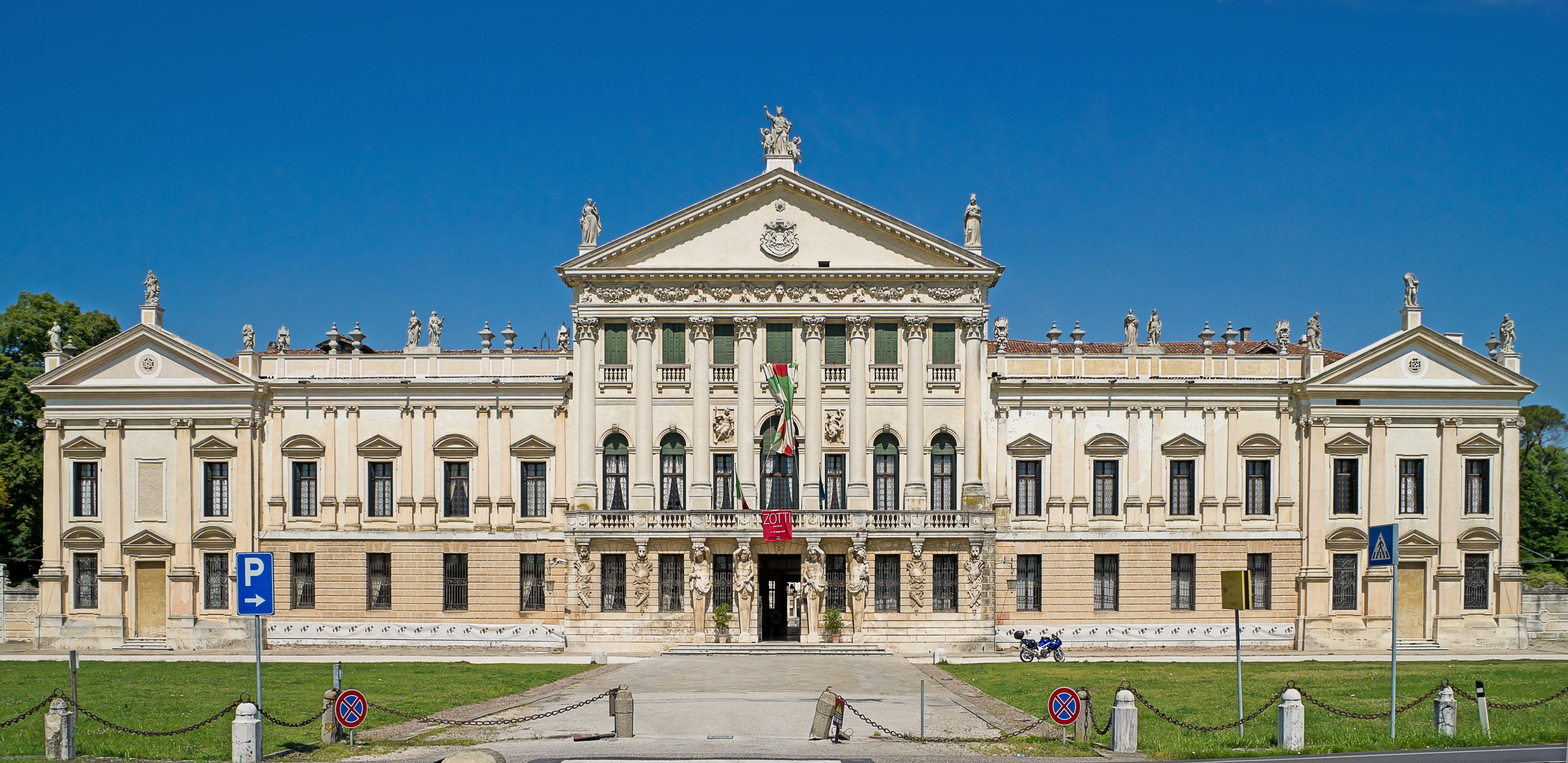
Payl:Città di Stra - Villa Pisani - Facciata 45.407738,12.013244.jpg
Gidak-on ning maong paunang tan-aw: 800 x 389 ka mga piksel. Uban pang mga resoluyon: 320 x 156 ka mga piksel | 640 x 312 ka mga piksel | 1,024 x 498 ka mga piksel | 1,280 x 623 ka mga piksel | 2,560 x 1,246 ka mga piksel | 5,964 x 2,903 ka mga piksel.
Tibuok resolusyon (5,964 × 2,903 pixels, size sa payl: 13.93 MB, MIME type: image/jpeg)
Mubong sugid:
|
| ||||||||||||||||||||||||||||||||||||


Kaagi sa payl
I-klik ang petsa/oras aron makit-an ang hulagway sa payl niadtong panahona.
| Petsa/Takna | Thumbnail | Mga dimensyon | Tiggamit | Komento | |
|---|---|---|---|---|---|
| kasamtangan | 08:42, 22 Hulyo 2012 | | 5,964 × 2,903 (13.93 MB) | Archaeodontosaurus | {{Information |Description ={{en|1=x}} |Source ={{own}} |Author =Archaeodontosaurus |Date = |Permission = |other_versions = }} |
Mga paggamit sa payl
Ang mosunod nga mga panid misumpay niining payl:
Global nga paggamit sa payl
Kining ubang wiki naggamit ning maong payl:
- Paggamit sa ar.wikipedia.org
- Paggamit sa arz.wikipedia.org
- Paggamit sa azb.wikipedia.org
- Paggamit sa bg.wikipedia.org
- Paggamit sa br.wikipedia.org
- Paggamit sa ca.wikipedia.org
- Paggamit sa ce.wikipedia.org
- Paggamit sa cs.wikipedia.org
- Paggamit sa de.wikipedia.org
- Paggamit sa en.wikipedia.org
- Paggamit sa es.wikipedia.org
- Paggamit sa eu.wikipedia.org
- Paggamit sa fa.wikipedia.org
- Paggamit sa fr.wikipedia.org
- Paggamit sa he.wikivoyage.org
- Paggamit sa hu.wikipedia.org
- Paggamit sa hy.wikipedia.org
- Paggamit sa ia.wikipedia.org
- Paggamit sa it.wikipedia.org
- Paggamit sa it.wikivoyage.org
- Paggamit sa ja.wikipedia.org
- Paggamit sa kbp.wikipedia.org
- Paggamit sa lld.wikipedia.org
- Paggamit sa lmo.wikipedia.org
- Paggamit sa nl.wikipedia.org
- Paggamit sa pl.wikipedia.org
- Paggamit sa pms.wikipedia.org
- Paggamit sa pt.wikipedia.org
View more global usage of this file.