Payl:Curaçao location map.svg

Size of this PNG preview of this SVG file: 587 x 600 ka mga piksel. Uban pang mga resoluyon: 235 x 240 ka mga piksel | 470 x 480 ka mga piksel | 751 x 768 ka mga piksel | 1,002 x 1,024 ka mga piksel | 2,004 x 2,048 ka mga piksel | 994 x 1,016 ka mga piksel.
Tibuok resolusyon (SVG nga payl, nominally 994 × 1,016 pixels, size sa payl: 88 KB)
Mubong sugid:
| Deskripsyon |
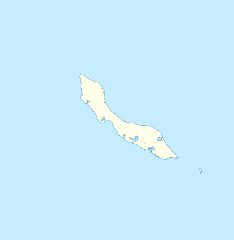
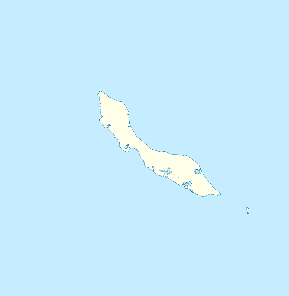
English: Blank administrative map of Curaçao
Français : Carte administrative vierge de Curaçao
|
| Petsa | 18:29 |
| Gigikanan | http://openstreetmap.fr/ |
| Tagsulat | Xfigpower (pssst), 24 February 2011 (UTC) |
| SVG genesis |
Pagtugot
I, the copyright holder of this work, hereby publish it under the following licenses:

|
Gitugot ang pagkopya, pag-apud-apod o/ug pag-usab ning maong dokumento ubos sa mga termino sa GNU Free Documentation License, Version 1.2 o mas bag-ong bersiyon nga gimantala sa Free Software Foundation; nga walay Invariant Sections, walay Front-Cover Texts, ug walay Back-Cover Texts. Ang kopya sa lisensiya gilakip sa bahin nga giulohang GNU Free Documentation License. |
This file is licensed under the Creative Commons Attribution 3.0 Unported license.
- Libre ka:
- sa pagsabwag – sa pagkopya, pag-apod-apod ug pagsabwag sa hinimo
- sa pag-remix – sa pag-adap sa binuhat
- Ubos sa mosunod nga mga kondisyon:
- atribusyon – Kinahanglan nimo nga hatagan ang angay nga kredito, maghatag usa ka link sa lisensya, ug ipakita kung adunay mga pagbag-o. Mahimo nimo kini buhaton sa bisan unsang makatarunganon nga paagi, apan dili sa bisan unsang paagi nga nagsugyot nga gi-endorso ka sa licensor o ang imong paggamit.
You may select the license of your choice.
Kaagi sa payl
I-klik ang petsa/oras aron makit-an ang hulagway sa payl niadtong panahona.
| Petsa/Takna | Thumbnail | Mga dimensyon | Tiggamit | Komento | |
|---|---|---|---|---|---|
| kasamtangan | 18:29, 24 Pebrero 2011 | | 994 × 1,016 (88 KB) | Xfigpower | {{Information |Description ={{en|1=Blank administrative map of Curaçao}} {{fr|1=Carte administrative vierge de Curaçao * N : 12.7° * S : 11,7° * O : -69,5° * E :-68.5}} |Source =http://openstreetmap.fr/ |Author =~~~~ |Date |
Mga paggamit sa payl
More than 100 pages use this file. The following list shows the first 100 pages that use this file only. A full list is available.
- Awa di Oostpunt
- Baai van Versali
- Boca Santa Cruz
- Bocht van Hato
- Boka Grandi
- Boka Santa Krus
- Ceru Grandi
- Ceru Grandi (bungtod sa Kurasaw)
- Ceru Pretu
- Eiland Penso
- Fuik Baai
- Grote Berg
- Isla Makuaku
- Jack Evertszberg
- Kaap Malmeeuw
- Kaap Sint Marie
- Kabrietenbaai
- Kabrietenberg
- Kadoesjie
- Klein Curaçao
- Knipberg
- Koningsplein
- Lagoen
- Lagún
- Lagún Jan Thiel
- Leeward Point
- Lijhoek
- Mansaliñabaai
- Meeuwtje
- Meeuwtje (pulo, lat 12,08, long -68,86)
- Meeuwtje (pulo, lat 12,12, long -68,92)
- Midden Seinpost
- Negropont
- Negropont (punta sa Kurasaw)
- Newport
- Newport (lungsod sa Kurasaw)
- Nieuwpoort
- Noordpunt
- Noordpunt (punta sa Kurasaw)
- Penso
- Piscaderabaai
- Playa Grandi
- Playa Lagún
- Punt Kanon
- Punta Blanku
- Punta Caballero
- Punta Caballero (punta sa Kurasaw)
- Punta Halvedag
- Punta Juba
- Punta Mariolina
- Punta Santa Barbara
- Punta Santa Barbara (punta sa Kurasaw)
- Rifwater
- Roi Hundu
- Roi Katoen
- Roi Kosta
- Roi Salga
- Roi Shon Tata
- Ronde Klip
- Sabana Westpunt
- Salina Sint Marie
- Saliña Sint Michiel
- Santa Barbara
- Santa Martabaai
- Ser'i Karpata
- Ser'i Kueba
- Ser'i Pal'i Bandera
- Ser'i Palomba (bungtod, lat 12,12, long -68,82)
- Ser'i Palomba (bungtod, lat 12,33, long -69,13)
- Ser'i Yuana
- Seroe Macoco
- Seru Francisco Jobo
- Seru Grandi
- Seru Kabayé
- Seru Kabayé (bungtod, lat 12,28, long -69,12)
- Seru Malé
- Seru Para Mira
- Seru Pasku
- Seru Pretu
- Seru Tinta
- Seru Un Blachi
- Seru Zjeremi
- Ser’i Palomba
- Sint Anna Baai
- Sint Antonieberg
- Sint Christoffelberg
- Sint Jorisbaai
- Sint Michiel Liber
- Sint Michielsberg
- Spaanse Haven
- Spaanse Water
- Tafelberg
- Tafelberg (Curaçao)
- Veerisberg
- Waaigat
- Westpunt
- Westpunt (punta sa Kurasaw)
- Willemberg
- Willemstad
- Willemstad (ulohang dakbayan)
View more links to this file.
Global nga paggamit sa payl
Kining ubang wiki naggamit ning maong payl:
- Paggamit sa af.wikipedia.org
- Paggamit sa an.wikipedia.org
- Paggamit sa ar.wikipedia.org
- Paggamit sa ast.wikipedia.org
- Paggamit sa be-tarask.wikipedia.org
- Paggamit sa bg.wikipedia.org
- Paggamit sa bn.wikipedia.org
- Paggamit sa bs.wikipedia.org
- Paggamit sa da.wikipedia.org
- Paggamit sa de.wikivoyage.org
- Paggamit sa el.wikipedia.org
- Paggamit sa en.wikipedia.org
View more global usage of this file.