Payl:Darent and Cray.jpg
Gidak-on ning maong paunang tan-aw: 800 x 474 ka mga piksel. Uban pang mga resoluyon: 320 x 190 ka mga piksel | 640 x 380 ka mga piksel | 1,000 x 593 ka mga piksel.
Tibuok resolusyon (1,000 × 593 pixels, size sa payl: 117 KB, MIME type: image/jpeg)
Mubong sugid:
| Deskripsyon |
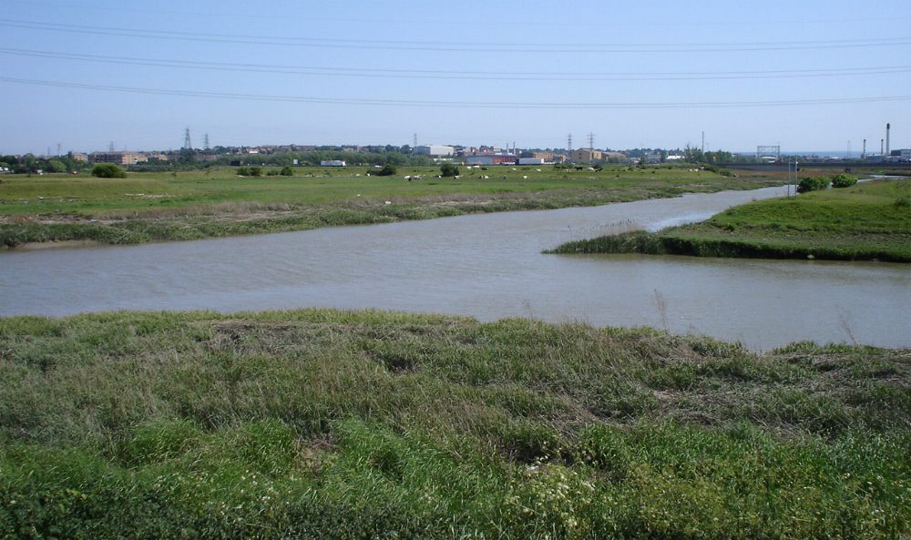
The confluence of the en:River Darent (left) and the en:River Cray (right) on Crayford Marshes, en:England. en:Category:Images of England |
||||
| Petsa | 1 Hulyo 2005 (original upload date) | ||||
| Gigikanan |
Originally from en.wikipedia; description page is/was here
|
||||
| Tagsulat | P Ingerson at English Wikipedya |
Pagtugot
| This work has been released into the public domain by its author, P Ingerson at English Wikipedya. This applies worldwide. In some countries this may not be legally possible; if so: P Ingerson grants anyone the right to use this work for any purpose, without any conditions, unless such conditions are required by law. |
Original upload log
(All user names refer to en.wikipedia)
- 2005-07-01 07:42 P Ingerson 1000×593×8 (120105 bytes) The confluence of the [[River Darent]] and the [[River Cray]] on Crayford Marshes. {{PD-self}}
Kaagi sa payl
I-klik ang petsa/oras aron makit-an ang hulagway sa payl niadtong panahona.
| Petsa/Takna | Thumbnail | Mga dimensyon | Tiggamit | Komento | |
|---|---|---|---|---|---|
| kasamtangan | 18:14, 10 Disyembre 2005 | | 1,000 × 593 (117 KB) | Orgullomoore | ==From en:wiki, same name== The confluence of the River Darent (left) and the River Cray (right) on Crayford Marshes. {{PD-self}} |
Mga paggamit sa payl
Ang mosunod nga 2 panid misumpay niining payl:
Global nga paggamit sa payl
Kining ubang wiki naggamit ning maong payl:
- Paggamit sa arz.wikipedia.org
- Paggamit sa cy.wikipedia.org
- Paggamit sa da.wikipedia.org
- Paggamit sa en.wikipedia.org
- Paggamit sa es.wikipedia.org
- Paggamit sa fi.wikipedia.org
- Paggamit sa it.wikipedia.org
- Paggamit sa nn.wikipedia.org
- Paggamit sa no.wikipedia.org
- Paggamit sa sh.wikipedia.org
- Paggamit sa sv.wikipedia.org
- Paggamit sa www.wikidata.org