Payl:Downtown Cobble Hill, BC.jpg

Gidak-on ning maong paunang tan-aw: 800 x 536 ka mga piksel. Uban pang mga resoluyon: 320 x 214 ka mga piksel | 640 x 428 ka mga piksel | 1,024 x 685 ka mga piksel | 1,280 x 857 ka mga piksel | 2,560 x 1,714 ka mga piksel | 3,872 x 2,592 ka mga piksel.
Tibuok resolusyon (3,872 × 2,592 pixels, size sa payl: 1.57 MB, MIME type: image/jpeg)
Mubong sugid:
| Deskripsyon |
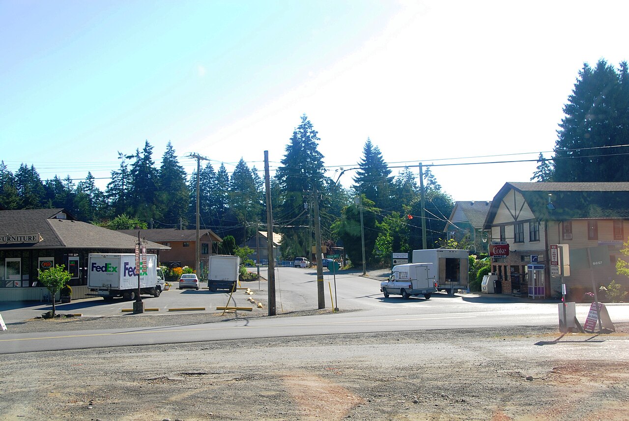
English: Downtown Cobble Hill, British Columbia, Canada, as seen from the Malahat VIA Rail service. |
| Petsa | |
| Gigikanan | Kaugalingong trabaho |
| Tagsulat | Alasdair McLellan |
| Camera location | | View this and other nearby images on: OpenStreetMap |
|---|
Pagtugot
I, the copyright holder of this work, hereby publish it under the following licenses:
This file is licensed under the Creative Commons Attribution-Share Alike 3.0 Unported license.
- Libre ka:
- sa pagsabwag – sa pagkopya, pag-apod-apod ug pagsabwag sa hinimo
- sa pag-remix – sa pag-adap sa binuhat
- Ubos sa mosunod nga mga kondisyon:
- atribusyon – Kinahanglan nimo nga hatagan ang angay nga kredito, maghatag usa ka link sa lisensya, ug ipakita kung adunay mga pagbag-o. Mahimo nimo kini buhaton sa bisan unsang makatarunganon nga paagi, apan dili sa bisan unsang paagi nga nagsugyot nga gi-endorso ka sa licensor o ang imong paggamit.
- share parehas – Kung imong gi-remix, gibag-o, o gibase sa materyal, kinahanglan nimo nga iapod-apod ang imong mga kontribusyon sa ilawom sa parehas o katugma nga lisensya sama sa orihinal.

|
Gitugot ang pagkopya, pag-apud-apod o/ug pag-usab ning maong dokumento ubos sa mga termino sa GNU Free Documentation License, Version 1.2 o mas bag-ong bersiyon nga gimantala sa Free Software Foundation; nga walay Invariant Sections, walay Front-Cover Texts, ug walay Back-Cover Texts. Ang kopya sa lisensiya gilakip sa bahin nga giulohang GNU Free Documentation License. |
You may select the license of your choice.
Kaagi sa payl
I-klik ang petsa/oras aron makit-an ang hulagway sa payl niadtong panahona.
| Petsa/Takna | Thumbnail | Mga dimensyon | Tiggamit | Komento | |
|---|---|---|---|---|---|
| kasamtangan | 01:20, 17 Enero 2010 | | 3,872 × 2,592 (1.57 MB) | Jeangagnon | correction automatique |
| 13:37, 6 Agosto 2009 |  | 3,872 × 2,592 (1.57 MB) | Arsenikk | {{Information |Description={{en|1=Downtown Cobble Hill, British Columbia, Canada, as seen from the Malahat VIA Rail service.}} |Source=Own work by uploader |Author=Alasdair McLellan |Date=2009-07-21 |Permission= |other_versions= }} {{loc |
Mga paggamit sa payl
Ang mosunod nga mga panid misumpay niining payl:
Global nga paggamit sa payl
Kining ubang wiki naggamit ning maong payl:
- Paggamit sa ar.wikipedia.org
- Paggamit sa arz.wikipedia.org
- Paggamit sa ca.wikipedia.org
- Paggamit sa el.wikipedia.org
- Paggamit sa en.wikipedia.org
- Paggamit sa es.wikipedia.org
- Paggamit sa fr.wikipedia.org
- Paggamit sa sv.wikipedia.org
- Paggamit sa www.wikidata.org