Payl:Egypt location map.svg

Size of this PNG preview of this SVG file: 650 x 599 ka mga piksel. Uban pang mga resoluyon: 260 x 240 ka mga piksel | 520 x 480 ka mga piksel | 833 x 768 ka mga piksel | 1,110 x 1,024 ka mga piksel | 2,221 x 2,048 ka mga piksel | 1,055 x 973 ka mga piksel.
Tibuok resolusyon (SVG nga payl, nominally 1,055 × 973 pixels, size sa payl: 324 KB)

|
The boundaries on this map show the de facto situation. This is just one of several different views on the subject (see COM:NPOV). |
Mubong sugid:
| Deskripsyon |
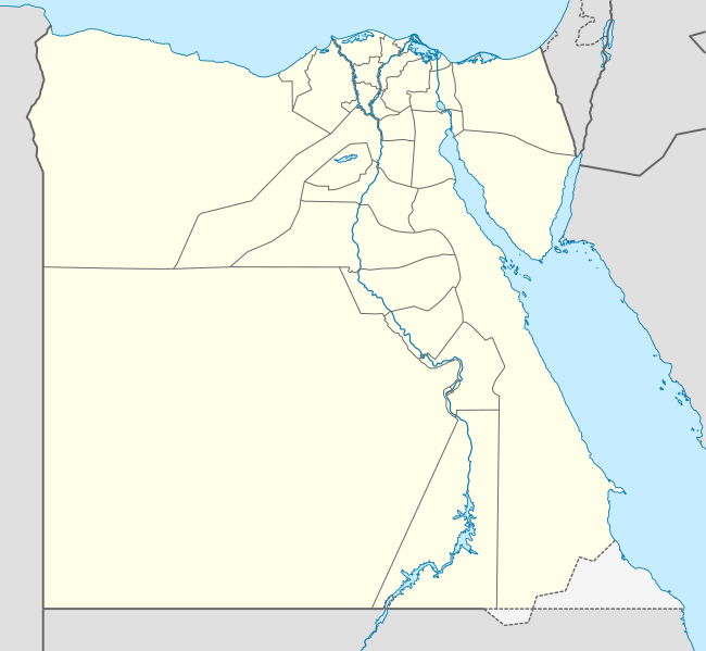
Deutsch: Positionskarte von Ägypten
Quadratische Plattkarte, N-S-Streckung 111,8685 %. Geographische Begrenzung der Karte:
English: Location map of Egypt
Equirectangular projection, N/S stretching 111.8685 %. Geographic limits of the map:
中文(繁體):埃及位置地圖
等距矩形投影,南北拉伸111.8685%。地圖地理界線:
|
| Petsa | 10-08-2008 |
| Gigikanan |
own work, using
|
| Tagsulat | NordNordWest |
| Other versions |
Derivative works of this file:
|


|
This map has been made or improved in the German Kartenwerkstatt (Map Lab). You can propose maps to improve as well.
|
Pagtugot
I, the copyright holder of this work, hereby publish it under the following licenses:

|
Gitugot ang pagkopya, pag-apud-apod o/ug pag-usab ning maong dokumento ubos sa mga termino sa GNU Free Documentation License, Version 1.2 o mas bag-ong bersiyon nga gimantala sa Free Software Foundation; nga walay Invariant Sections, walay Front-Cover Texts, ug walay Back-Cover Texts. Ang kopya sa lisensiya gilakip sa bahin nga giulohang GNU Free Documentation License. |
This file is licensed under the Creative Commons Attribution-Share Alike 3.0 Unported license.
- Libre ka:
- sa pagsabwag – sa pagkopya, pag-apod-apod ug pagsabwag sa hinimo
- sa pag-remix – sa pag-adap sa binuhat
- Ubos sa mosunod nga mga kondisyon:
- atribusyon – Kinahanglan nimo nga hatagan ang angay nga kredito, maghatag usa ka link sa lisensya, ug ipakita kung adunay mga pagbag-o. Mahimo nimo kini buhaton sa bisan unsang makatarunganon nga paagi, apan dili sa bisan unsang paagi nga nagsugyot nga gi-endorso ka sa licensor o ang imong paggamit.
- share parehas – Kung imong gi-remix, gibag-o, o gibase sa materyal, kinahanglan nimo nga iapod-apod ang imong mga kontribusyon sa ilawom sa parehas o katugma nga lisensya sama sa orihinal.
You may select the license of your choice.
| Annotations | This image is annotated: View the annotations at Commons |
Kaagi sa payl
I-klik ang petsa/oras aron makit-an ang hulagway sa payl niadtong panahona.
| Petsa/Takna | Thumbnail | Mga dimensyon | Tiggamit | Komento | |
|---|---|---|---|---|---|
| kasamtangan | 21:35, 12 Pebrero 2013 | | 1,055 × 973 (324 KB) | NordNordWest | upd |
| 16:03, 17 Abril 2011 |  | 1,055 × 973 (351 KB) | NordNordWest | upd | |
| 17:03, 7 Marso 2010 |  | 1,055 × 973 (553 KB) | NordNordWest | resize | |
| 10:48, 3 Septiyembre 2009 |  | 1,055 × 956 (552 KB) | NordNordWest | ||
| 19:10, 23 Mayo 2009 |  | 1,056 × 959 (557 KB) | NordNordWest | corr | |
| 11:12, 10 Agosto 2008 |  | 1,056 × 957 (491 KB) | NordNordWest | {{Information |Description= {{de|Positionskarte von Ägypten}} Quadratische Plattkarte, N-S-Streckung 110 %. Geographische Begrenzung der Karte: * N: 32.1° N * S: 21.3° N * W: 24.2° O * O: 37.3° O {{en|Location map of [[:en:Egypt|Egyp |
Mga paggamit sa payl
There are no pages that use this file.
Global nga paggamit sa payl
Kining ubang wiki naggamit ning maong payl:
- Paggamit sa af.wikipedia.org
- Paggamit sa als.wikipedia.org
- Paggamit sa am.wikipedia.org
- Paggamit sa ar.wikipedia.org
- كأس الأمم الإفريقية 2006
- كأس الأمم الإفريقية 1986
- حمام مصري
- قالب:خريطة مواقع مصر
- كأس العالم تحت 20 سنة لكرة القدم 2009
- سد الكفرة
- كأس الأمم الإفريقية 2019
- الدوري المصري الممتاز 2015–16
- الدوري المصري الممتاز 2016–17
- البطولة العربية لكرة القدم النسائية 2006
- هجوم بئر العبد (أكتوبر 2016)
- كأس العالم تحت 19 سنة لكرة السلة 2017
- البطولة العربية للأندية 2016–17
- الدوري المصري الممتاز 2017–18
- قائمة ملاعب كرة القدم في مصر
- الدوري المصري الممتاز 2018–19
- الدوري المصري الممتاز 2019–20
- تصنيف:مسلسلات تلفزيونية مصرية تقع أحداثها في الصعيد
- مطار البردويل الدولي
- قاعدة الإسماعيلية الجوية
- قاعدة العامرية الجوية
- قاعدة الضبعة الجوية
- قاعدة كبريت الجوية
- جبل سيناء (مكان مقدس)
- الدوري المصري الممتاز 2020–21
- مرسى ثلمت
- كأس العرب لكرة الصالات 2021
- رأس مسلة
- الدوري المصري الممتاز 2021–22
- راس عسران
- راس بكر
- مرسى أم موريكا
- شرم المية
- رأس نصراني
- جزر القلعان
- أرض الهبوط 174
- مطار سيدي حنيش
View more global usage of this file.