Payl:Equatorial Guinea location map.svg

Size of this PNG preview of this SVG file: 628 x 600 ka mga piksel. Uban pang mga resoluyon: 251 x 240 ka mga piksel | 503 x 480 ka mga piksel | 804 x 768 ka mga piksel | 1,072 x 1,024 ka mga piksel | 2,144 x 2,048 ka mga piksel | 1,091 x 1,042 ka mga piksel.
Tibuok resolusyon (SVG nga payl, nominally 1,091 × 1,042 pixels, size sa payl: 155 KB)
Mubong sugid:
| Deskripsyon |
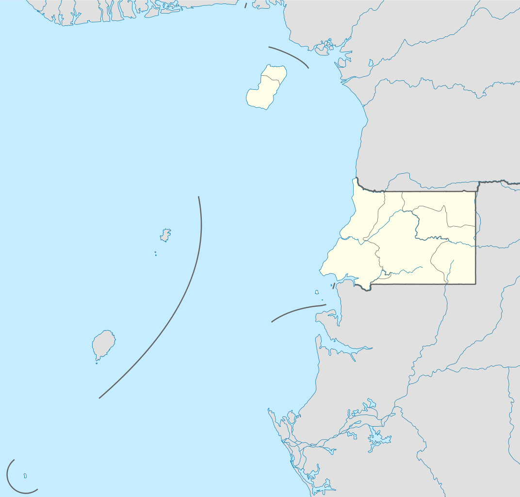
Deutsch: Positionskarte von Äquatorialguinea
Quadratische Plattkarte. Geographische Begrenzung der Karte:
English: Location map of Equatorial Guinea
Equirectangular projection. Geographic limits of the map:
|
| Petsa | |
| Gigikanan |
own work, using
|
| Tagsulat | NordNordWest |

|
This map has been made or improved in the German Kartenwerkstatt (Map Lab). You can propose maps to improve as well.
|
Pagtugot
I, the copyright holder of this work, hereby publish it under the following licenses:

|
Gitugot ang pagkopya, pag-apud-apod o/ug pag-usab ning maong dokumento ubos sa mga termino sa GNU Free Documentation License, Version 1.2 o mas bag-ong bersiyon nga gimantala sa Free Software Foundation; nga walay Invariant Sections, walay Front-Cover Texts, ug walay Back-Cover Texts. Ang kopya sa lisensiya gilakip sa bahin nga giulohang GNU Free Documentation License. |
This file is licensed under the Creative Commons Attribution-Share Alike 3.0 Unported license.
- Libre ka:
- sa pagsabwag – sa pagkopya, pag-apod-apod ug pagsabwag sa hinimo
- sa pag-remix – sa pag-adap sa binuhat
- Ubos sa mosunod nga mga kondisyon:
- atribusyon – Kinahanglan nimo nga hatagan ang angay nga kredito, maghatag usa ka link sa lisensya, ug ipakita kung adunay mga pagbag-o. Mahimo nimo kini buhaton sa bisan unsang makatarunganon nga paagi, apan dili sa bisan unsang paagi nga nagsugyot nga gi-endorso ka sa licensor o ang imong paggamit.
- share parehas – Kung imong gi-remix, gibag-o, o gibase sa materyal, kinahanglan nimo nga iapod-apod ang imong mga kontribusyon sa ilawom sa parehas o katugma nga lisensya sama sa orihinal.
You may select the license of your choice.
Kaagi sa payl
I-klik ang petsa/oras aron makit-an ang hulagway sa payl niadtong panahona.
| Petsa/Takna | Thumbnail | Mga dimensyon | Tiggamit | Komento | |
|---|---|---|---|---|---|
| kasamtangan | 09:34, 7 Nobiyembre 2011 | | 1,091 × 1,042 (155 KB) | NordNordWest | upd |
| 15:27, 23 Oktubre 2011 |  | 1,091 × 1,042 (154 KB) | NordNordWest | another mistake fixed | |
| 15:19, 23 Oktubre 2011 |  | 1,091 × 1,042 (154 KB) | NordNordWest | corrected | |
| 10:51, 23 Oktubre 2011 |  | 1,093 × 1,042 (236 KB) | Waldyrious | If the colors are wrong, just fix them. Don't revert all the other handcrafted cleanup and structural improvements in the process. | |
| 16:35, 22 Oktubre 2011 |  | 1,093 × 1,042 (250 KB) | NordNordWest | wrong colours | |
| 15:37, 22 Oktubre 2011 |  | 1,093 × 1,042 (236 KB) | Waldyrious | cleanup & structure | |
| 16:46, 14 Nobiyembre 2008 |  | 1,093 × 1,042 (250 KB) | NordNordWest | corrected | |
| 16:44, 14 Nobiyembre 2008 |  | 1,116 × 1,042 (250 KB) | NordNordWest | {{Information |Description= {{de|Positionskarte von Äquatorialguinea}} Quadratische Plattkarte. Geographische Begrenzung der Karte: * N: 4.6° N * S: 1.7° S * W: 5.3° O * O: 11.9° O {{en|Location map of [[:en:Equatorial Guine |
Mga paggamit sa payl
There are no pages that use this file.
Global nga paggamit sa payl
Kining ubang wiki naggamit ning maong payl:
- Paggamit sa af.wikipedia.org
- Paggamit sa am.wikipedia.org
- Paggamit sa ar.wikipedia.org
- Paggamit sa be-tarask.wikipedia.org
- Paggamit sa bg.wikipedia.org
- Paggamit sa bn.wikipedia.org
- Paggamit sa bs.wikipedia.org
- Paggamit sa ckb.wikipedia.org
- Paggamit sa el.wikipedia.org
- Paggamit sa es.wikipedia.org
- Paggamit sa eu.wikipedia.org
- Paggamit sa fa.wikipedia.org
- Paggamit sa fr.wikipedia.org
- Paggamit sa he.wikivoyage.org
- Paggamit sa kaa.wikipedia.org
- Paggamit sa kbd.wikipedia.org
- Paggamit sa kn.wikipedia.org
- Paggamit sa ko.wikipedia.org
- Paggamit sa ku.wikipedia.org
- Paggamit sa mk.wikipedia.org
- Paggamit sa ml.wikipedia.org
- Paggamit sa mr.wikipedia.org
- Paggamit sa ms.wikipedia.org
- Paggamit sa pa.wikipedia.org
View more global usage of this file.