Payl:Equatorial Guinea physical map.svg

Size of this PNG preview of this SVG file: 628 x 600 ka mga piksel. Uban pang mga resoluyon: 251 x 240 ka mga piksel | 502 x 480 ka mga piksel | 804 x 768 ka mga piksel | 1,072 x 1,024 ka mga piksel | 2,144 x 2,048 ka mga piksel | 851 x 813 ka mga piksel.
Tibuok resolusyon (SVG nga payl, nominally 851 × 813 pixels, size sa payl: 932 KB)
Mubong sugid:
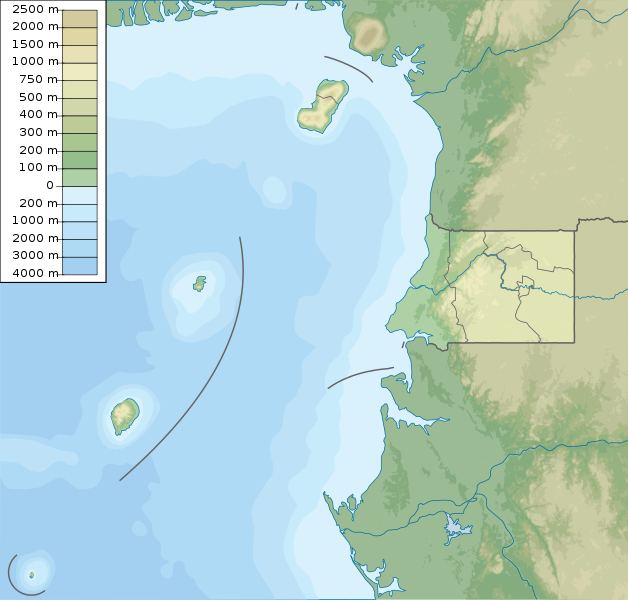
| Deskripsyon | Equatorial Guinea physical map, parameters equal to File:Equatorial Guinea location map.svg |
| Petsa | |
| Gigikanan | Kaugalingong trabaho |
| Tagsulat | Urutseg |
| Other versions | Derivative works of this file: São Tomé and Príncipe physical map.svg |
Pagtugot
I, the copyright holder of this work, hereby publish it under the following license:
| This file is made available under the Creative Commons CC0 1.0 Universal Public Domain Dedication. | |
| The person who associated a work with this deed has dedicated the work to the public domain by waiving all of their rights to the work worldwide under copyright law, including all related and neighboring rights, to the extent allowed by law. You can copy, modify, distribute and perform the work, even for commercial purposes, all without asking permission.
|
Kaagi sa payl
I-klik ang petsa/oras aron makit-an ang hulagway sa payl niadtong panahona.
| Petsa/Takna | Thumbnail | Mga dimensyon | Tiggamit | Komento | |
|---|---|---|---|---|---|
| kasamtangan | 20:10, 12 Mayo 2022 | | 851 × 813 (932 KB) | NordNordWest | districts update |
| 05:51, 16 Marso 2011 |  | 851 × 813 (891 KB) | Urutseg |
Mga paggamit sa payl
Ang mosunod nga mga panid misumpay niining payl:
Global nga paggamit sa payl
Kining ubang wiki naggamit ning maong payl:
- Paggamit sa ar.wikipedia.org
- Paggamit sa ast.wikipedia.org
- Paggamit sa be-tarask.wikipedia.org
- Paggamit sa bg.wikipedia.org
- Paggamit sa bn.wikipedia.org
- Paggamit sa bs.wikipedia.org
- Paggamit sa ca.wikipedia.org
- Paggamit sa ce.wikipedia.org
- Paggamit sa ckb.wikipedia.org
- Paggamit sa cs.wikipedia.org
- Paggamit sa da.wikipedia.org
- Paggamit sa de.wikipedia.org
- Äquatorialguinea
- Bioko
- Annobón
- Corisco
- Elobey Chico
- Elobey Grande
- Horacio (Insel)
- Pico Basile
- Vorlage:Positionskarte Äquatorialguinea
- Wikipedia:Kartenwerkstatt/Positionskarten/Afrika
- Pico Quioveo
- Vorlage:Positionskarte Äquatorialguinea Región Continental
- Liste von Kraftwerken in Äquatorialguinea
- Kraftwerk Djibloho
- Kraftwerk Sendje
- San Carlos (Äquatorialguinea)
- Cascada Mandoc
- Rápidos Asoc-Bisón
- Parque nacional de Los Altos de Nsork
- Parque nacional de Pico Basilé
- Parque nacional de Monte Alén
- Lago Claret
- Caldera de Bonyoma
- Islas de Elobey
- Paggamit sa de.wikivoyage.org
View more global usage of this file.