Payl:Fife UK location map.svg

Size of this PNG preview of this SVG file: 742 x 600 ka mga piksel. Uban pang mga resoluyon: 297 x 240 ka mga piksel | 594 x 480 ka mga piksel | 950 x 768 ka mga piksel | 1,267 x 1,024 ka mga piksel | 2,533 x 2,048 ka mga piksel | 1,425 x 1,152 ka mga piksel.
Tibuok resolusyon (SVG nga payl, nominally 1,425 × 1,152 pixels, size sa payl: 1.61 MB)
| Deskripsyon |
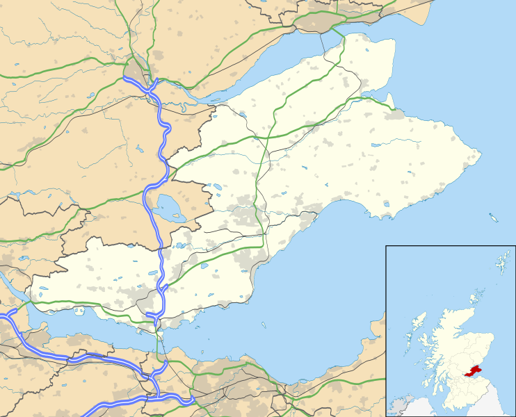
Blank map of Fife, UK with the following information shown:
Geographic limits:
|
| Petsa | |
| Gigikanan |
|
| Tagsulat | Nilfanion, created using Ordnance Survey data |
| Pagtugot (Paggamit pag-usab niini nga file) |
This file is licensed under the Creative Commons Attribution-Share Alike 3.0 Unported license. Attribution: Contains Ordnance Survey data © Crown copyright and database right
|
| Other versions | File:Fife UK blank map.svg - Blank map |
Kaagi sa payl
I-klik ang petsa/oras aron makit-an ang hulagway sa payl niadtong panahona.
| Petsa/Takna | Thumbnail | Mga dimensyon | Tiggamit | Komento | |
|---|---|---|---|---|---|
| kasamtangan | 20:15, 26 Septiyembre 2010 | | 1,425 × 1,152 (1.61 MB) | Nilfanion | {{Information |Description=Blank map of Fife, UK with the following information shown: *Administrative borders *Coastline, lakes and rivers *Roads and railways *Urban areas Equirectangular map projection on WGS 84 datum, with N/S stretched 17 |
Mga paggamit sa payl
Ang mosunod nga 3 panid misumpay niining payl:
Global nga paggamit sa payl
Kining ubang wiki naggamit ning maong payl:
- Paggamit sa ar.wikipedia.org
- Paggamit sa arz.wikipedia.org
- Paggamit sa bg.wikipedia.org
- Paggamit sa ca.wikipedia.org
- Paggamit sa cy.wikipedia.org
- Paggamit sa de.wikipedia.org
- Paggamit sa el.wikipedia.org
- Paggamit sa en.wikipedia.org
- Aberdour
- Kinglassie
- Fife
- List of monastic houses in Scotland
- Newport-on-Tay
- North Queensferry
- Dalgety Bay
- Dunfermline
- St Andrews
- Kirkcaldy
- Cupar
- Crail
- Kinghorn
- Culross
- Inverkeithing
- Burntisland
- Leuchars Station
- Cowdenbeath
- Methil
- Rosyth
- Wormit
- Glenrothes
- Limekilns
- East End Park
- Ceres, Fife
- Pittenweem
- Dysart, Fife
- Auchtermuchty
- Leuchars
- Anstruther
- Falkland Palace
- Leven, Fife
View more global usage of this file.