Payl:Güímar BW 1.JPG
Gidak-on ning maong paunang tan-aw: 800 x 536 ka mga piksel. Uban pang mga resoluyon: 320 x 214 ka mga piksel | 640 x 428 ka mga piksel | 1,024 x 685 ka mga piksel | 1,280 x 857 ka mga piksel | 2,560 x 1,714 ka mga piksel | 3,872 x 2,592 ka mga piksel.
Tibuok resolusyon (3,872 × 2,592 pixels, size sa payl: 2.4 MB, MIME type: image/jpeg)
Mubong sugid:
| Deskripsyon |
|
| Petsa | |
| Gigikanan | Kaugalingong trabaho |
| Tagsulat | Berthold Werner |
| Camera location | | View this and other nearby images on: OpenStreetMap |
|---|
Pagtugot
| I, the copyright holder of this work, release this work into the public domain. This applies worldwide. In some countries this may not be legally possible; if so: I grant anyone the right to use this work for any purpose, without any conditions, unless such conditions are required by law. |
Kaagi sa payl
I-klik ang petsa/oras aron makit-an ang hulagway sa payl niadtong panahona.
| Petsa/Takna | Thumbnail | Mga dimensyon | Tiggamit | Komento | |
|---|---|---|---|---|---|
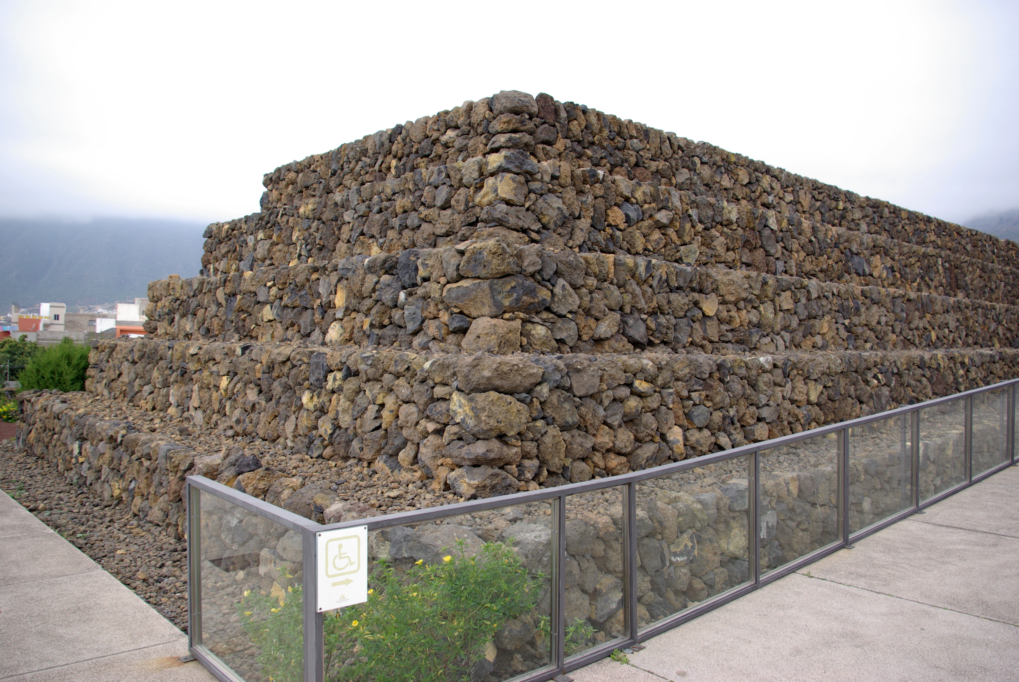
| kasamtangan | 11:37, 21 Marso 2008 | | 3,872 × 2,592 (2.4 MB) | Berthold Werner | {{Information |Description=Pyramiden in Güímar, Teneriffa |Source=eigene Arbeit |Date=2008-03-02 |Author= Berthold Werner |Permission= |other_versions= }} |
Mga paggamit sa payl
Ang mosunod nga mga panid misumpay niining payl:
Global nga paggamit sa payl
Kining ubang wiki naggamit ning maong payl:
- Paggamit sa bg.wikipedia.org
- Paggamit sa ca.wikipedia.org
- Paggamit sa cs.wikipedia.org
- Paggamit sa da.wikipedia.org
- Paggamit sa de.wikipedia.org
- Paggamit sa en.wikipedia.org
- Paggamit sa en.wikivoyage.org
- Paggamit sa eo.wikipedia.org
- Paggamit sa es.wikipedia.org
- Paggamit sa fi.wikipedia.org
- Paggamit sa fr.wikipedia.org
- Paggamit sa fy.wikipedia.org
- Paggamit sa he.wikipedia.org
- Paggamit sa hu.wikipedia.org
- Paggamit sa hy.wikipedia.org
- Paggamit sa id.wikipedia.org
- Paggamit sa it.wikipedia.org
- Paggamit sa ja.wikipedia.org
- Paggamit sa la.wikipedia.org
- Paggamit sa ms.wikipedia.org
- Paggamit sa nl.wikipedia.org
- Paggamit sa no.wikipedia.org
- Paggamit sa pl.wikipedia.org
- Paggamit sa pt.wikipedia.org
- Paggamit sa ru.wikipedia.org
- Paggamit sa scn.wikipedia.org
- Paggamit sa sh.wikipedia.org
- Paggamit sa sv.wikipedia.org
- Paggamit sa uk.wikipedia.org
- Paggamit sa www.wikidata.org
- Paggamit sa zh.wikipedia.org