Payl:Hachimann numa 2008.jpg
Gidak-on ning maong paunang tan-aw: 800 x 600 ka mga piksel. Uban pang mga resoluyon: 320 x 240 ka mga piksel | 640 x 480 ka mga piksel | 1,024 x 768 ka mga piksel | 1,280 x 960 ka mga piksel | 2,560 x 1,920 ka mga piksel | 3,648 x 2,736 ka mga piksel.
Tibuok resolusyon (3,648 × 2,736 pixels, size sa payl: 2.28 MB, MIME type: image/jpeg)
Mubong sugid:
| Deskripsyon |
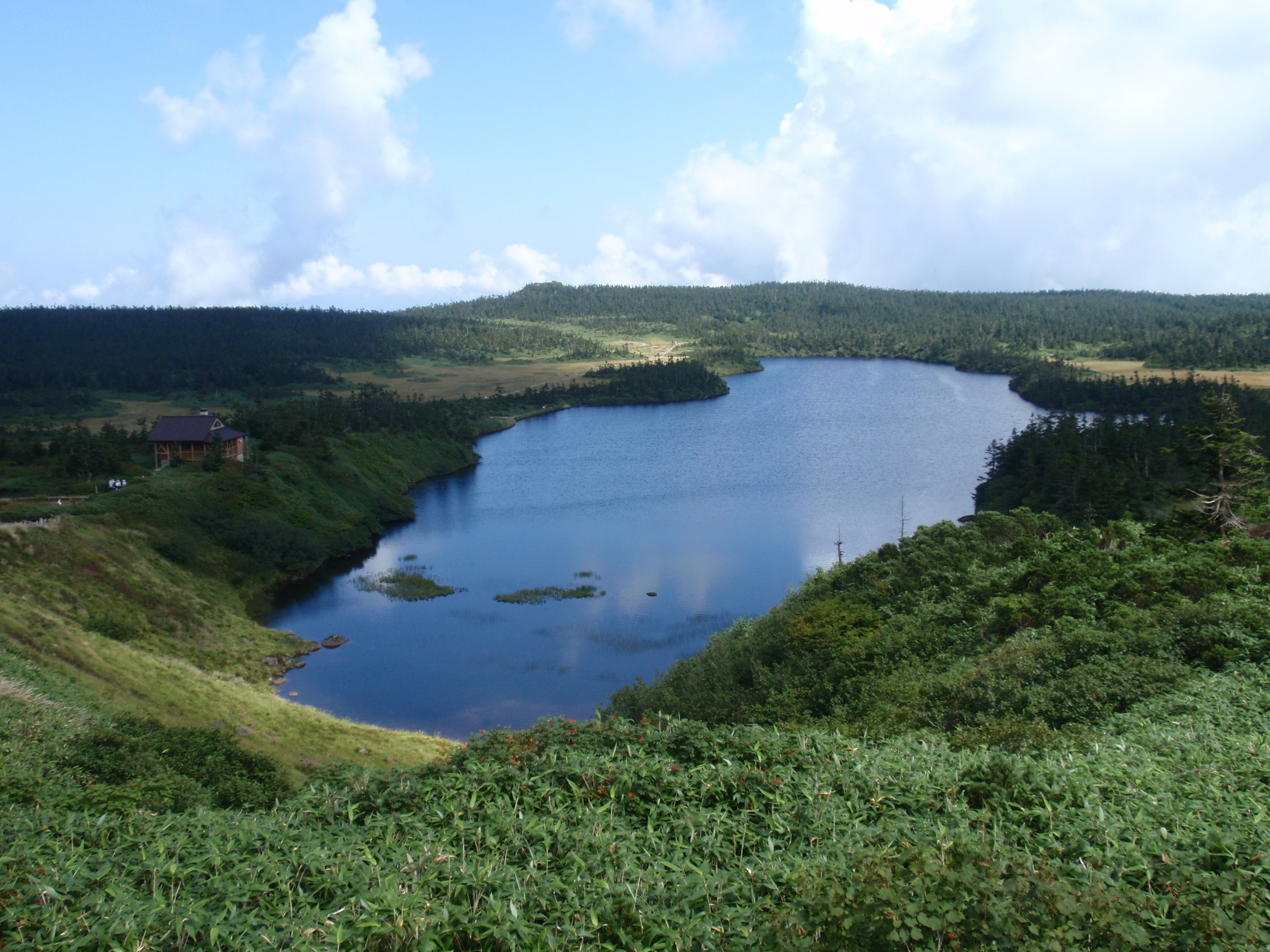
日本語: 八幡平の八幡沼を西から見る
English: Hachiman Marsh (Hachiman-numa) seen from the west, in Mount Hachimantai. |
| Petsa | |
| Gigikanan | Kaugalingong trabaho |
| Tagsulat | Soica2001 (talk) |
| Camera location | | View this and other nearby images on: OpenStreetMap |
|---|
Pagtugot
| I, the copyright holder of this work, release this work into the public domain. This applies worldwide. In some countries this may not be legally possible; if so: I grant anyone the right to use this work for any purpose, without any conditions, unless such conditions are required by law. |
Kaagi sa payl
I-klik ang petsa/oras aron makit-an ang hulagway sa payl niadtong panahona.
| Petsa/Takna | Thumbnail | Mga dimensyon | Tiggamit | Komento | |
|---|---|---|---|---|---|
| kasamtangan | 00:50, 15 Hulyo 2010 | | 3,648 × 2,736 (2.28 MB) | Soica2001 | {{Information |Description={{ja|1=八幡沼}} |Source={{own}} |Author=~~~ |Date=2008/9/8 |Permission={{pd-self}} |other_versions= }} Category:Mount Hachjmantai |
Mga paggamit sa payl
Ang mosunod nga 2 panid misumpay niining payl:
Global nga paggamit sa payl
Kining ubang wiki naggamit ning maong payl:
- Paggamit sa ar.wikipedia.org
- Paggamit sa arz.wikipedia.org
- Paggamit sa ce.wikipedia.org
- Paggamit sa cs.wikipedia.org
- Paggamit sa de.wikipedia.org
- Paggamit sa en.wikipedia.org
- Paggamit sa en.wikivoyage.org
- Paggamit sa es.wikipedia.org
- Paggamit sa eu.wikipedia.org
- Paggamit sa fa.wikipedia.org
- Paggamit sa fr.wikipedia.org
- Paggamit sa gl.wikipedia.org
- Paggamit sa id.wikipedia.org
- Paggamit sa it.wikipedia.org
- Paggamit sa ja.wikipedia.org
- Paggamit sa ko.wikipedia.org
- Paggamit sa lld.wikipedia.org
- Paggamit sa mzn.wikipedia.org
- Paggamit sa pl.wikipedia.org
- Paggamit sa ro.wikipedia.org
- Paggamit sa sk.wikipedia.org
- Paggamit sa sv.wikipedia.org
- Paggamit sa tl.wikipedia.org
- Paggamit sa tt.wikipedia.org
- Paggamit sa ur.wikipedia.org
- Paggamit sa uz.wikipedia.org
- Paggamit sa vi.wikipedia.org
- Paggamit sa www.wikidata.org
- Paggamit sa zh.wikipedia.org