Payl:Hawaii state capitol from the south-east.jpg

Gidak-on ning maong paunang tan-aw: 800 x 600 ka mga piksel. Uban pang mga resoluyon: 320 x 240 ka mga piksel | 640 x 480 ka mga piksel | 1,024 x 768 ka mga piksel | 1,280 x 960 ka mga piksel | 1,600 x 1,200 ka mga piksel.
Tibuok resolusyon (1,600 × 1,200 pixels, size sa payl: 670 KB, MIME type: image/jpeg)
Mubong sugid:
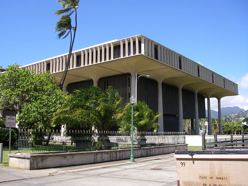
| Deskripsyon | This is a view of the Hawaii state capitol from the south-east. The peaks of the Koʻolau mountains are visible in the background. | ||||
| Petsa | |||||
| Gigikanan | Kaugalingong trabaho | ||||
| Tagsulat |
|
Pagtugot
| I, the copyright holder of this work, release this work into the public domain. This applies worldwide. In some countries this may not be legally possible; if so: I grant anyone the right to use this work for any purpose, without any conditions, unless such conditions are required by law. |
Kaagi sa payl
I-klik ang petsa/oras aron makit-an ang hulagway sa payl niadtong panahona.
| Petsa/Takna | Thumbnail | Mga dimensyon | Tiggamit | Komento | |
|---|---|---|---|---|---|
| kasamtangan | 05:07, 27 Septiyembre 2007 | | 1,600 × 1,200 (670 KB) | Xpixupload | {{Information |Description=This is a view of the Hawaii state capitol from the south-east. The peaks of the Ko{{okina}}olau mountains are visible in the background. |Source=self-made |Date=Sep 22, 2007 |Author= Xpixupload {{location d |
Mga paggamit sa payl
Ang mosunod nga mga panid misumpay niining payl:
Global nga paggamit sa payl
Kining ubang wiki naggamit ning maong payl:
- Paggamit sa de.wikipedia.org
- Paggamit sa en.wikipedia.org
- Paggamit sa en.wikivoyage.org
- Paggamit sa es.wikipedia.org
- Paggamit sa fa.wikipedia.org
- Paggamit sa fi.wikipedia.org
- Paggamit sa fr.wikipedia.org
- Paggamit sa he.wiktionary.org
- Paggamit sa id.wikipedia.org
- Paggamit sa it.wikipedia.org
- Paggamit sa it.wikivoyage.org
- Paggamit sa ja.wikipedia.org
- Paggamit sa nl.wikipedia.org
- Paggamit sa no.wikipedia.org
- Paggamit sa pnb.wikipedia.org
- Paggamit sa pt.wikipedia.org
- Paggamit sa ro.wikipedia.org
- Paggamit sa ru.wikipedia.org
- Paggamit sa uk.wikipedia.org
- Paggamit sa www.wikidata.org
- Paggamit sa zh.wikipedia.org