Payl:Iraq location map.svg

Size of this PNG preview of this SVG file: 589 x 600 ka mga piksel. Uban pang mga resoluyon: 236 x 240 ka mga piksel | 471 x 480 ka mga piksel | 754 x 768 ka mga piksel | 1,005 x 1,024 ka mga piksel | 2,011 x 2,048 ka mga piksel | 1,241 x 1,264 ka mga piksel.
Tibuok resolusyon (SVG nga payl, nominally 1,241 × 1,264 pixels, size sa payl: 232 KB)
Mubong sugid:
| Deskripsyon |
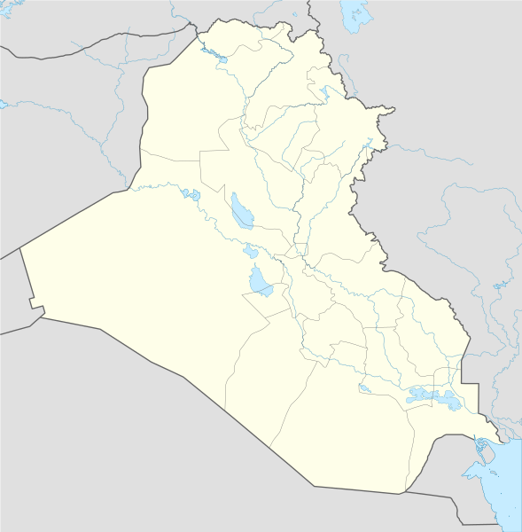
Deutsch: Positionskarte von Irak
Quadratische Plattkarte, N-S-Streckung 115 %. Geographische Begrenzung der Karte:
English: Location map of Iraq
Equirectangular projection, N/S stretching 115 %. Geographic limits of the map:
|
| Petsa | |
| Gigikanan |
Own work using:
|
| Tagsulat | NordNordWest |
| Other versions |
Derivative works of this file: |

|
This map has been made or improved in the German Kartenwerkstatt (Map Lab). You can propose maps to improve as well.
|
Pagtugot
I, the copyright holder of this work, hereby publish it under the following licenses:

|
Gitugot ang pagkopya, pag-apud-apod o/ug pag-usab ning maong dokumento ubos sa mga termino sa GNU Free Documentation License, Version 1.2 o mas bag-ong bersiyon nga gimantala sa Free Software Foundation; nga walay Invariant Sections, walay Front-Cover Texts, ug walay Back-Cover Texts. Ang kopya sa lisensiya gilakip sa bahin nga giulohang GNU Free Documentation License. |
This file is licensed under the Creative Commons Attribution-Share Alike 3.0 Unported license.
- Libre ka:
- sa pagsabwag – sa pagkopya, pag-apod-apod ug pagsabwag sa hinimo
- sa pag-remix – sa pag-adap sa binuhat
- Ubos sa mosunod nga mga kondisyon:
- atribusyon – Kinahanglan nimo nga hatagan ang angay nga kredito, maghatag usa ka link sa lisensya, ug ipakita kung adunay mga pagbag-o. Mahimo nimo kini buhaton sa bisan unsang makatarunganon nga paagi, apan dili sa bisan unsang paagi nga nagsugyot nga gi-endorso ka sa licensor o ang imong paggamit.
- share parehas – Kung imong gi-remix, gibag-o, o gibase sa materyal, kinahanglan nimo nga iapod-apod ang imong mga kontribusyon sa ilawom sa parehas o katugma nga lisensya sama sa orihinal.
You may select the license of your choice.
Kaagi sa payl
I-klik ang petsa/oras aron makit-an ang hulagway sa payl niadtong panahona.
| Petsa/Takna | Thumbnail | Mga dimensyon | Tiggamit | Komento | |
|---|---|---|---|---|---|
| kasamtangan | 14:01, 8 Nobiyembre 2017 | | 1,241 × 1,264 (232 KB) | Rob984 | reduced intensity of rivers in line with location scheme |
| 18:54, 17 Hunyo 2014 |  | 1,241 × 1,264 (377 KB) | Spesh531 | without Halabja, status disputed | |
| 03:13, 14 Hunyo 2014 |  | 1,241 × 1,264 (377 KB) | Spesh531 | adding many rivers (that are at least shown on an average Iraqi map) | |
| 01:09, 13 Hunyo 2014 |  | 1,241 × 1,264 (312 KB) | Spesh531 | additional lakes, and adding halabja | |
| 23:13, 12 Hunyo 2014 |  | 1,241 × 1,264 (313 KB) | Spesh531 | lakes | |
| 20:36, 21 Agosto 2008 |  | 1,241 × 1,264 (316 KB) | NordNordWest | {{Information |Description= {{de|Positionskarte von Irak}} Quadratische Plattkarte, N-S-Streckung 115 %. Geographische Begrenzung der Karte: * N: 37.7° N * S: 28.4° N * W: 38.4° O * O: 48.9° O {{en|Location map of Iraq}} Equi |
Mga paggamit sa payl
More than 100 pages use this file. The following list shows the first 100 pages that use this file only. A full list is available.
- Ad Dawrah
- Al Batin
- Al Qiţ‘ah
- Al Wa‘rah
- Al Ḩusayn
- Ar Rumamin
- Ar Rumaylah
- Bagha
- Jabal Bibi
- Jabal Kalālah
- Jabal Salīm
- Jabal al Milḩ
- Jabal al Quşayr
- Jabal ash Shaykh
- Kahala
- Kaya
- Kharkhara
- Kuna (pagklaro)
- Madan
- Matari
- Mema
- Nahr Abū Mūsá
- Nahr Abū ‘Alī
- Nahr Ibrāhīm
- Nahr al Aswad
- Nahr al A‘waj
- Nahr al Jawz
- Nahr al Kalb
- Nahr al Qāsimīyah
- Nahr al Wādī
- Nahr al ‘Awdah
- Samara
- Sien
- Sphinx Hill
- Sur
- Table Mountain
- Tall Mudawwar
- Tall ad Dayr
- Tall al Abyaḑ
- Tall al Aswad
- Tall al Marj
- Tall al Mudawwar
- Tall Şawwān
- Tall Ḩālah
- The Narrows
- Tuba
- Tulūl al Ḩumr
- Wadi Miri
- Wadi Safa
- Wadi ad Dab`
- Wadi ash Shaykh
- Wādī Abū al Aswad
- Wādī Ghuzayyil
- Wādī Jahannam
- Wādī Maḩmūd
- Wādī Salāmah
- Wādī ad Dayr
- Wādī ad Dibs
- Wādī al Abyaḑ
- Wādī al Aḩmar
- Wādī al Bayḑah
- Wādī al Bi’r
- Wādī al Hilālī
- Wādī al Hāwī
- Wādī al Jibāb
- Wādī al Kabīr
- Wādī al Khanāzīr
- Wādī al Kharāb
- Wādī al Khasfah
- Wādī al Qaşab
- Wādī al Qaşr
- Wādī al Ḩajar
- Wādī al Ḩārah
- Wādī al ‘Arabah
- Wādī al ‘Arīḑ
- Wādī al ‘Asal
- Wādī al ‘Ayn
- Wādī al ‘Uwaynāt
- Wādī al ‘Uyūn
- Wādī ar Ramlīyah
- Wādī as Sabīl
- Wādī as Sikkah
- Wādī as Sulţānīyah
- Wādī as Summāq
- Wādī as Suwaydīyah
- Wādī ash Shaykh
- Wādī ash Shaykh Ḩasan
- Wādī at Turkumānīyah
- Wādī az Zarqā’
- Wādī az Zaytūn
- Wādī aş Şafā
- Wādī aḑ Ḑab‘
- Wādī Ţawīl
- Wādī ‘Abd ar Raḩmān
- Wādī ‘Alī
- جبل الشيخ
- وادي الشيخ
- وادي زمار
- ‘Ayn Muḩammad
- ‘Ayn Sa‘īd
View more links to this file.
Global nga paggamit sa payl
Kining ubang wiki naggamit ning maong payl:
- Paggamit sa af.wikipedia.org
- Paggamit sa als.wikipedia.org
- Paggamit sa ar.wikipedia.org
- العراق
- عبد الملك بن مروان
- أور
- إيسن
- إريدو
- كأس الخليج العربي 5
- دوري نجوم العراق
- الوركاء
- دير الربان هرمزد
- دير مار إيليا
- قائمة جامعات العراق
- أبو صلابيخ
- بحيرة ساوة
- عصر جمدة نصر
- سيبار
- دير مار متي
- قالب:خريطة مواقع العراق
- دير مار أوراها
- دير مار بهنام
- دير ناقورتايا
- قائمة سدود العراق
- كرسو
- شوروباك
- توتوب
- فترة أوروك
- تل عقير
- قاعدة القيارة الجوية
- قائمة مواقع التراث العالمي في العراق
- نفر
- قالب:خريطة مواقع الأندية العراقية
- وحدة:Location map/data/Iraq
- وحدة:Location map/data/Iraq/شرح
- قالب:المنشآت الجامعية في العراق
- قالب:خريطة مفصلة للتمرد العراقي
- قالب:خريطة مواقع التراث العالمي في العراق
- قالب:خريطة أهوار العراق
- مواجهات مطار سفوان
- تفجيرات بغداد (كانون الثاني 2017)
- بطولة اتحاد غرب آسيا لكرة القدم 2019
- هجوم صاروخي 2018 كردستان العراق
- اعتقال أمريكا لدبلوماسيين إيرانيين في أربيل
- تدافع كربلاء 2019
View more global usage of this file.