Payl:Jamaica location map.svg

Tibuok resolusyon (SVG nga payl, nominally 1,134 × 546 pixels, size sa payl: 58 KB)
| Deskripsyon |
Deutsch: Positionskarte von Jamaika
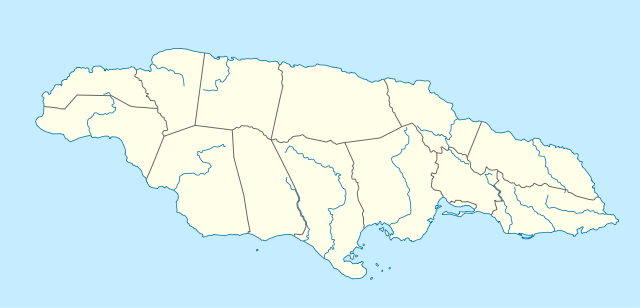
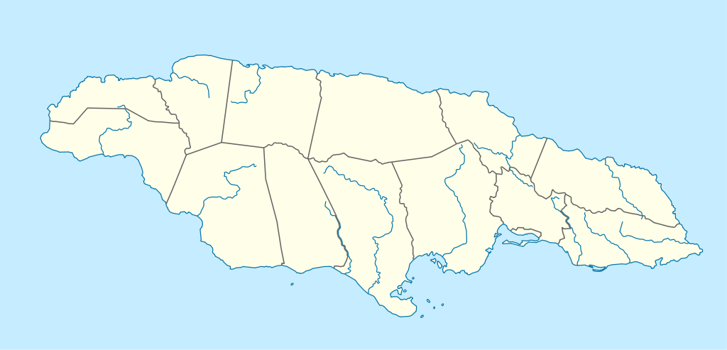
Quadratische Plattkarte, N-S-Streckung 105 %. Geographische Begrenzung der Karte:
English: Location map of Jamaica
Equirectangular projection, N/S stretching 105 %. Geographic limits of the map:
|
|
| Petsa | 5 Marso 2009 (upload date) | |
| Gigikanan | own work, using United States National Imagery and Mapping Agency data | |
| Tagsulat | NordNordWest | |
| Pagtugot (Paggamit pag-usab niini nga file) |
This file is licensed under the Creative Commons Attribution-Share Alike 3.0 Germany license.
 This file is licensed under the Creative Commons Attribution-Share Alike 3.0 Germany license.
|
|
| Other versions |
|


|
This map has been made or improved in the German Kartenwerkstatt (Map Lab). You can propose maps to improve as well.
|
Kaagi sa payl
I-klik ang petsa/oras aron makit-an ang hulagway sa payl niadtong panahona.
| Petsa/Takna | Thumbnail | Mga dimensyon | Tiggamit | Komento | |
|---|---|---|---|---|---|
| kasamtangan | 09:39, 5 Marso 2009 | | 1,134 × 546 (58 KB) | NordNordWest | {{Information |Description= {{de|Positionskarte von Jamaika}} Quadratische Plattkarte, N-S-Streckung 105 %. Geographische Begrenzung der Karte: * N: 18.7° N * S: 17.5° N * W: 78.5° W * O: 76.1° W {{en|Location map of [[:en:Jamaica|Jama |
Mga paggamit sa payl
More than 100 pages use this file. The following list shows the first 100 pages that use this file only. A full list is available.
- Albion
- Alligator Point
- Antilles
- Bamboo
- Battery Point
- Berry Hill
- Big Hill
- Blowing Point
- Blue Mountain
- Bluefields
- Bluff Point
- Breezy Point
- Bunker Hill
- Calabash Bay
- Crab Point
- Cuckolds Point
- East Arm
- East End
- East Peak
- Falmouth
- Flat Point
- Fort Point
- Fort William
- Frankfort Point
- Gallows Point
- Goat Island
- Great Bay
- Green Bay
- Green Hill
- Green Island
- Gun Cay
- Half Moon Bay
- Harris Point
- High Peak
- Holmes Bay
- Hope
- Hope River
- Indian River
- Ireland Point
- Jordan River
- King Point
- Lime Cay
- Long Bay
- Long Island
- Long Point
- Long Reef
- Long Ridge
- Lovers Leap
- Mangrove Point
- Middle Cay
- Middle Ground
- Mount Airy
- Mount Lebanon
- Mount Pleasant
- New River
- Northeast Cay
- Northeast Point
- Old Fort Point
- Old House Point
- Palisades
- Palmetto Point
- Palmyra (pagklaro)
- Paradise Point
- Parish of Saint Mary
- Pedro River
- Pigeon Island
- Prospect Point
- Pyramid Rock
- Red Hills
- Rio Blanco
- Rio Grande
- Rio Nuevo
- Robins Point
- Rocky Point
- Rose Hill
- Round Hill
- Round Point
- Runaway Bay
- Sail Rock
- Saint James
- Salt Pond
- Salt Pond Bay
- Sandy Bay
- Sandy Point
- Sandy River
- Santa Cruz
- South Cay
- South Rock
- South West Point
- Southeast Cay
- Southwest Cay
- Table Mountain
- The Lake
- Tower Hill
- Troy
- Wakefield
- Watch Hill
- Well Bay
- West Arm
- West Point
View more links to this file.
Global nga paggamit sa payl
Kining ubang wiki naggamit ning maong payl:
- Paggamit sa af.wikipedia.org
- Paggamit sa an.wikipedia.org
- Paggamit sa ar.wikipedia.org
- Paggamit sa arz.wikipedia.org
- Paggamit sa ast.wikipedia.org
- Paggamit sa az.wikipedia.org
- Paggamit sa be.wikipedia.org
- Paggamit sa bg.wikipedia.org
- Paggamit sa bn.wikipedia.org
- Paggamit sa bs.wikipedia.org
- Paggamit sa ca.wikipedia.org
- Paggamit sa ce.wikipedia.org
View more global usage of this file.