Payl:Japan honshu map.svg

Size of this PNG preview of this SVG file: 413 x 373 ka mga piksel. Uban pang mga resoluyon: 266 x 240 ka mga piksel | 532 x 480 ka mga piksel | 850 x 768 ka mga piksel | 1,134 x 1,024 ka mga piksel | 2,268 x 2,048 ka mga piksel.
Tibuok resolusyon (SVG nga payl, nominally 413 × 373 pixels, size sa payl: 973 KB)
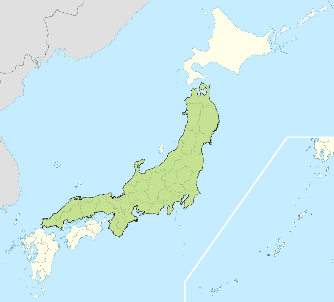
| Deskripsyon | Small map of Honshu, Japan |
| Petsa | (UTC) |
| Gigikanan | |
| Tagsulat |
|
I, the copyright holder of this work, hereby publish it under the following licenses:
This file is licensed under the Creative Commons Attribution-Share Alike 3.0 Unported license.
- Libre ka:
- sa pagsabwag – sa pagkopya, pag-apod-apod ug pagsabwag sa hinimo
- sa pag-remix – sa pag-adap sa binuhat
- Ubos sa mosunod nga mga kondisyon:
- atribusyon – Kinahanglan nimo nga hatagan ang angay nga kredito, maghatag usa ka link sa lisensya, ug ipakita kung adunay mga pagbag-o. Mahimo nimo kini buhaton sa bisan unsang makatarunganon nga paagi, apan dili sa bisan unsang paagi nga nagsugyot nga gi-endorso ka sa licensor o ang imong paggamit.
- share parehas – Kung imong gi-remix, gibag-o, o gibase sa materyal, kinahanglan nimo nga iapod-apod ang imong mga kontribusyon sa ilawom sa parehas o katugma nga lisensya sama sa orihinal.

|
Gitugot ang pagkopya, pag-apud-apod o/ug pag-usab ning maong dokumento ubos sa mga termino sa GNU Free Documentation License, Version 1.2 o mas bag-ong bersiyon nga gimantala sa Free Software Foundation; nga walay Invariant Sections, walay Front-Cover Texts, ug walay Back-Cover Texts. Ang kopya sa lisensiya gilakip sa bahin nga giulohang GNU Free Documentation License. |
You may select the license of your choice.
Original upload log
This image is a derivative work of the following images:
- File:Japan_location_map_with_side_map_of_the_Ryukyu_Islands.svg licensed with Cc-by-sa-3.0, GFDL
- 2010-10-30T13:53:18Z NordNordWest 413x373 (948276 Bytes) Liancourts Rock boundary
- 2010-09-17T01:15:53Z Dinamik 413x373 (1638123 Bytes) medium color for disputed territories
- 2010-03-21T11:41:34Z Chumwa 413x373 (1597074 Bytes) Präfekturgrenzen bereinigt
- 2010-03-20T13:33:30Z Chumwa 413x373 (1793386 Bytes) Trennlinie zu Nebenkarte etwas verbreitert
- 2010-03-20T09:50:05Z Chumwa 413x373 (2010954 Bytes) == {{int:filedesc}} == {{Information |Description= {{de|Postionskarte von [[:de:Japan|Japan]]}} Quadratische Plattkarte. Bei Nutzung der Hauptkarte mit den Hauptinseln gelten folgende geographische Begrenzungen für die (Ges
Uploaded with derivativeFX
Kaagi sa payl
I-klik ang petsa/oras aron makit-an ang hulagway sa payl niadtong panahona.
| Petsa/Takna | Thumbnail | Mga dimensyon | Tiggamit | Komento | |
|---|---|---|---|---|---|
| kasamtangan | 04:07, 2 Mayo 2011 | | 413 × 373 (973 KB) | Jkwchui | {{Information |Description=Small map of Honshu, Japan |Source=*File:Japan_location_map_with_side_map_of_the_Ryukyu_Islands.svg |Date=2011-05-02 04:05 (UTC) |Author=*File:Japan_location_map_with_side_map_of_the_Ryukyu_Islands.svg: [[:de:User:Ch |
Mga paggamit sa payl
Ang mosunod nga mga panid misumpay niining payl:
Global nga paggamit sa payl
Kining ubang wiki naggamit ning maong payl:
- Paggamit sa ace.wikipedia.org
- Paggamit sa af.wikipedia.org
- Paggamit sa als.wikipedia.org
- Paggamit sa am.wikipedia.org
- Paggamit sa ar.wikipedia.org
- Paggamit sa ast.wikipedia.org
- Paggamit sa az.wikipedia.org
- Paggamit sa ban.wikipedia.org
- Paggamit sa ba.wikipedia.org
- Paggamit sa be-tarask.wikipedia.org
- Paggamit sa be.wikipedia.org
- Paggamit sa bg.wikipedia.org
- Paggamit sa bm.wikipedia.org
- Paggamit sa bs.wikipedia.org
- Paggamit sa ca.wikipedia.org
- Paggamit sa diq.wikipedia.org
- Paggamit sa en.wikipedia.org
- Paggamit sa es.wikipedia.org
- Paggamit sa et.wikipedia.org
- Paggamit sa eu.wikipedia.org
- Paggamit sa fa.wikipedia.org
- Paggamit sa fo.wikipedia.org
- Paggamit sa fr.wikipedia.org
- Paggamit sa fr.wiktionary.org
- Paggamit sa ga.wikipedia.org
- Paggamit sa gd.wikipedia.org
- Paggamit sa gl.wikipedia.org
- Paggamit sa hak.wikipedia.org
- Paggamit sa ha.wikipedia.org
- Paggamit sa he.wikipedia.org
- Paggamit sa hu.wikipedia.org
- Paggamit sa hy.wikipedia.org
- Paggamit sa ia.wikipedia.org
- Paggamit sa id.wikipedia.org
- Paggamit sa ie.wikipedia.org
- Paggamit sa ilo.wikipedia.org
- Paggamit sa io.wikipedia.org
- Paggamit sa is.wikipedia.org
- Paggamit sa it.wikipedia.org
- Paggamit sa it.wikivoyage.org
- Paggamit sa ja.wikipedia.org
- Paggamit sa jv.wikipedia.org
- Paggamit sa kab.wikipedia.org
- Paggamit sa ka.wikipedia.org
- Paggamit sa km.wikipedia.org
- Paggamit sa ko.wikipedia.org
- Paggamit sa ky.wikipedia.org
View more global usage of this file.