Payl:Jersey location map.svg

Size of this PNG preview of this SVG file: 460 x 600 ka mga piksel. Uban pang mga resoluyon: 184 x 240 ka mga piksel | 368 x 480 ka mga piksel | 589 x 768 ka mga piksel | 785 x 1,024 ka mga piksel | 1,570 x 2,048 ka mga piksel | 1,325 x 1,728 ka mga piksel.
Tibuok resolusyon (SVG nga payl, nominally 1,325 × 1,728 pixels, size sa payl: 169 KB)
| Deskripsyon |
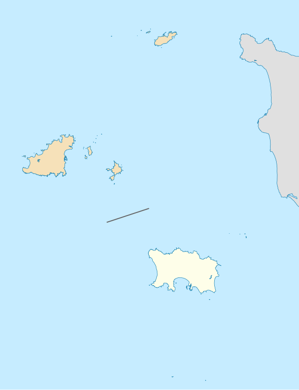
Deutsch: Positionskarte der Vogtei Jersey Geographische Begrenzung der Karte: * N: 49.8° N * S: 49.1° N * W: 2.75° W * O: 1.75° W English: Location map of the Bailiwick of Jersey Geographic limits of the map: * N: 49.8° N * S: 49.1° N * W: 2.75° W * E: 1.75° W |
| Petsa | (UTC) |
| Gigikanan | |
| Tagsulat |
|
| This is a retouched picture, which means that it has been digitally altered from its original version. Modifications: highlight the Bailiwick. The original can be viewed here: Channel Islands location map.svg:
|
I, the copyright holder of this work, hereby publish it under the following license:
This file is licensed under the Creative Commons Attribution-Share Alike 2.0 Generic license.
- Libre ka:
- sa pagsabwag – sa pagkopya, pag-apod-apod ug pagsabwag sa hinimo
- sa pag-remix – sa pag-adap sa binuhat
- Ubos sa mosunod nga mga kondisyon:
- atribusyon – Kinahanglan nimo nga hatagan ang angay nga kredito, maghatag usa ka link sa lisensya, ug ipakita kung adunay mga pagbag-o. Mahimo nimo kini buhaton sa bisan unsang makatarunganon nga paagi, apan dili sa bisan unsang paagi nga nagsugyot nga gi-endorso ka sa licensor o ang imong paggamit.
- share parehas – Kung imong gi-remix, gibag-o, o gibase sa materyal, kinahanglan nimo nga iapod-apod ang imong mga kontribusyon sa ilawom sa parehas o katugma nga lisensya sama sa orihinal.
Original upload log
This image is a derivative work of the following images:
- File:Channel_Islands_location_map.svg licensed with Cc-by-sa-2.0
- 2010-02-15T19:01:16Z NordNordWest 1325x1426 (180215 Bytes) == {{int:filedesc}} == {{Information |Description= {{de|Positionskarte der [[:de:Kanalinseln|Kanalinseln]]}} Geographische Begrenzung der Karte: * N: 49.8° N * S: 49.1° N * W: 2.75° W * O: 1.75° W {{en|Location map of the
Uploaded with derivativeFX
Kaagi sa payl
I-klik ang petsa/oras aron makit-an ang hulagway sa payl niadtong panahona.
| Petsa/Takna | Thumbnail | Mga dimensyon | Tiggamit | Komento | |
|---|---|---|---|---|---|
| kasamtangan | 18:13, 17 Pebrero 2010 | | 1,325 × 1,728 (169 KB) | Xfigpower | extend for fr:Minquiers |
| 12:57, 17 Pebrero 2010 |  | 1,325 × 1,426 (179 KB) | Xfigpower | {{Information |Description={{de|Positionskarte der Vogtei Jersey}} Geographische Begrenzung der Karte: * N: 49.8° N * S: 49.1° N * W: 2.75° W * O: 1.75° W {{en|Location map of the Bailiwick of Jersey}} Geographic limits o |
Mga paggamit sa payl
More than 100 pages use this file. The following list shows the first 100 pages that use this file only. A full list is available.
- Aiguillon (pagklaro)
- Baleine
- Beach Rock
- Black Rock
- Cormorant Rock
- Crabière
- Crow Rock
- East Rock
- Eureka
- Flat Rock
- Fourche
- Fremont Point
- Frouquie
- Gifford Bay
- Great Bank
- Great Rock
- Green Island
- Green Rock
- Gros Nez
- Grosnez Point
- Grosse Rock
- Grosse Tete
- Grosse Tête
- Hinguette
- Jersey Harbour
- Joli
- Jubilee
- L'Islet
- La Corbière (pagklaro)
- La Crete
- La Crête Point
- La Demie (pagklaro)
- La Frouquie
- La Grosse Tête
- La Grune
- La Jument
- La Motte (pagklaro)
- La Platte
- La Ronde (pagklaro)
- La Sambue
- Le Boulay (pagklaro)
- Le Bût
- Le Pinacle
- Les Brayes
- Les Burons
- Les Landes
- Long Rock
- Nipple Rock
- Noirmont Point
- North Rock
- North West Head
- North West Reef
- Oyster Rock
- Pinnacle Rock
- Plat Roque Point
- Platte
- Platte Rock
- Pleinmont Point
- Plémont Point
- Point La Moye
- Portelet Bay
- Ronez Point
- Rouge Nez
- Rouge Nez (punta sa Jersey)
- Rouge Nez Point
- Rousse Rock
- Rozel Bay
- Rozel Bay (luuk sa Jersey)
- Saint Aubins Bay
- Saint Brelade's Bay
- Saint Catherine Bay (luuk sa Jersey)
- Saint Catherines Bay
- Saint Clements Bay
- Saint Clements Bay (luuk sa Jersey)
- Saint Helier
- Saint Helier (ulohang dakbayan)
- Saint John
- Saint John's Bay
- Saint Lawrence
- Saint Martin (pagklaro)
- Saint Ouen's Bay
- Saint Saviour
- Shamrock Bank
- Sharp Rock
- Sorel (pagklaro)
- Sorel Point
- South Reef
- Southeast Rock
- Southwest Rock
- St. Mary
- St. Peter
- St Lawrence
- St Peter
- Tour de Rozel
- Trinity
- Verclut Point
- Vicard Point
- Violet Bank
- Violet Bank (kagaangan)
- West Rock
View more links to this file.
Global nga paggamit sa payl
Kining ubang wiki naggamit ning maong payl:
- Paggamit sa da.wikipedia.org
- Paggamit sa fr.wikipedia.org
- Minquiers
- Écréhou
- Zoo de Jersey
- Château de Mont-Orgueil
- Bataille de Jersey
- Dirouilles
- Pierres de Lecq
- Wikipédia:Atelier graphique/Cartes/Archives/février 2010
- Modèle:Géolocalisation/Jersey
- Aéroport de Jersey
- Modèle:Infobox Appellation de pomme de terre
- Modèle:Infobox Appellation de pomme de terre/Documentation
- Wikipédia:Atelier graphique/Cartes/Archives/Demandes mises en sommeil/Europe
- Les Platons
- Bonne Nuit
- Château de Grosnez
- Château Elizabeth
- Mont Patibulaire
- Baie de Saint-Aubin
- Baie de Saint-Ouen
- Fort Saint-Aubin
- Fort Régent
- La Cotte de Saint-Brélade
- Liste des mammifères à Jersey
- Petit Menhir
- Liste des sites mégalithiques dans le bailliage de Jersey
- Springfield Stadium
- Wikipédia:Atelier graphique/Cartes/Archives/janvier 2022
- Explosion de 2022 à Saint-Hélier
- Paggamit sa lij.wikipedia.org
- Paggamit sa lv.wikipedia.org
- Paggamit sa ru.wikipedia.org
- Paggamit sa sah.wikipedia.org
- Paggamit sa sv.wikipedia.org
View more global usage of this file.