Payl:Kibera aerial view western part.jpg

Tibuok resolusyon(1,539 × 1,121 pixels, size sa payl: 1.63 MB, MIME type: image/jpeg)

Kining maong payl gikan sa Wikimedia Commons ug mahimong gigamit sa ubang proyekto. Ang deskripsyon niini didto gipakita sa ubos.

Deskripsyon
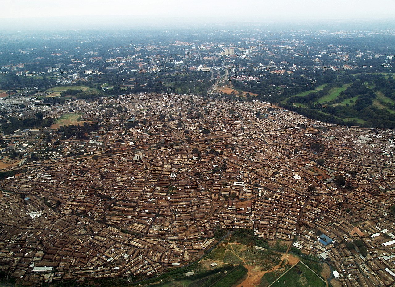
English: Western part of Kibera Slum, Nairobi (aerial view)
Deutsch: Westlicher Teil des Slums Kibera, Nairobi (Luftbild)
Petsa
Gigikanan Kaugalingong trabaho
Tagsulat Kreuzschnabel
Pagtugot
(Paggamit pag-usab niini nga file)
Image by Kreuzschnabel/Wikimedia Commons, License: artlibre

Licensing: Choose any of the following licenses for reuse of this work. Usage is free of charge as long as all terms of the license chosen are complied with. If you would like alternative terms, please get in touch with me via Wikimail or leave a request on my my discussion page to negotiate.

  • Using online: A typical example of reusing my images is given at the right, showing the author’s name and a link to the license used.
  • Using in printed media: Either close to the image or in a separate image directory, as long as unambiguously assigned, the author and license used should be specified, like: Photo: Kreuzschnabel/Wikimedia Commons, Licence: Cc-by-sa-3.0 (https://creativecommons.org/licenses/by-sa/3.0/legalcode)

In any case, I should be glad to receive a Wikimail message or, for printed media, a sample copy.

→ More information about reuse outside Wikimedia projects.

This file is copyrighted and has been released under licenses which are incompatible with Facebook's licensing terms. Therefore, it is not permitted to upload this file to Facebook. This applies accordingly to a large number of other social networks or other interactive sites.

I, the copyright holder of this work, hereby publish it under the following license:
w:en:Creative Commons
atribusyon share parehas
This file is licensed under the Creative Commons Attribution-Share Alike 3.0 Unported license.
Libre ka:
  • sa pagsabwag – sa pagkopya, pag-apod-apod ug pagsabwag sa hinimo
  • sa pag-remix – sa pag-adap sa binuhat
Ubos sa mosunod nga mga kondisyon:
  • atribusyon – Kinahanglan nimo nga hatagan ang angay nga kredito, maghatag usa ka link sa lisensya, ug ipakita kung adunay mga pagbag-o. Mahimo nimo kini buhaton sa bisan unsang makatarunganon nga paagi, apan dili sa bisan unsang paagi nga nagsugyot nga gi-endorso ka sa licensor o ang imong paggamit.
  • share parehas – Kung imong gi-remix, gibag-o, o gibase sa materyal, kinahanglan nimo nga iapod-apod ang imong mga kontribusyon sa ilawom sa parehas o katugma nga lisensya sama sa orihinal.
GNU head Gitugot ang pagkopya, pag-apud-apod o/ug pag-usab ning maong dokumento ubos sa mga termino sa GNU Free Documentation License, Version 1.2 o mas bag-ong bersiyon nga gimantala sa Free Software Foundation; nga walay Invariant Sections, walay Front-Cover Texts, ug walay Back-Cover Texts. Ang kopya sa lisensiya gilakip sa bahin nga giulohang GNU Free Documentation License.
Licence Art Libre Copyleft: This work of art is free; you can redistribute it and/or modify it according to terms of the Free Art License. You will find a specimen of this license on the Copyleft Attitude site as well as on other sites.
Camera location1° 19′ 12.32″ S, 36° 47′ 15.64″ E  Heading=0° Kartographer map based on OpenStreetMap.View this and other nearby images on: OpenStreetMapinfo

Captions

Add a one-line explanation of what this file represents

Items portrayed in this file

depicts English

copyrighted English

15 Hulyo 2010

captured with English

Olympus E-500 English

1°19'12.320"S, 36°47'15.641"E

heading English: 0 degree

Kaagi sa payl

I-klik ang petsa/oras aron makit-an ang hulagway sa payl niadtong panahona.

Petsa/TaknaThumbnailMga dimensyonTiggamitKomento
kasamtangan00:48, 22 Pebrero 2014Thumbnail sa bersyon sa 00:48, 22 Pebrero 20141,539 × 1,121 (1.63 MB)Chronus{{Information |Description ={{en|1=Western part of Kibera Slum, Nairobi (aerial view)}} {{de|1=Westlicher Teil des Slums Kibera, Nairobi (Luftbild)}} |Source ={{own}} |Author =Kreuzschnabel |Date =201...
16:12, 17 Enero 2014Thumbnail sa bersyon sa 16:12, 17 Enero 20141,539 × 1,121 (911 KB)Kreuzschnabel{{Information |Description ={{en|1=Western part of Kibera Slum, Nairobi (aerial view)}} {{de|1=Westlicher Teil des Slums Kibera, Nairobi (Luftbild)}} |Source ={{own}} |Author =Kreuzschnabel |Date =201...

Ang mosunod nga mga panid misumpay niining payl:

Global nga paggamit sa payl

Kining ubang wiki naggamit ning maong payl:

Metadata