Payl:Kuusinen Kotka 2.JPG

Gidak-on ning maong paunang tan-aw: 800 x 450 ka mga piksel. Uban pang mga resoluyon: 320 x 180 ka mga piksel | 640 x 360 ka mga piksel | 1,024 x 576 ka mga piksel | 1,280 x 720 ka mga piksel | 2,560 x 1,440 ka mga piksel | 5,184 x 2,917 ka mga piksel.
Tibuok resolusyon (5,184 × 2,917 pixels, size sa payl: 5.18 MB, MIME type: image/jpeg)
| Deskripsyon |
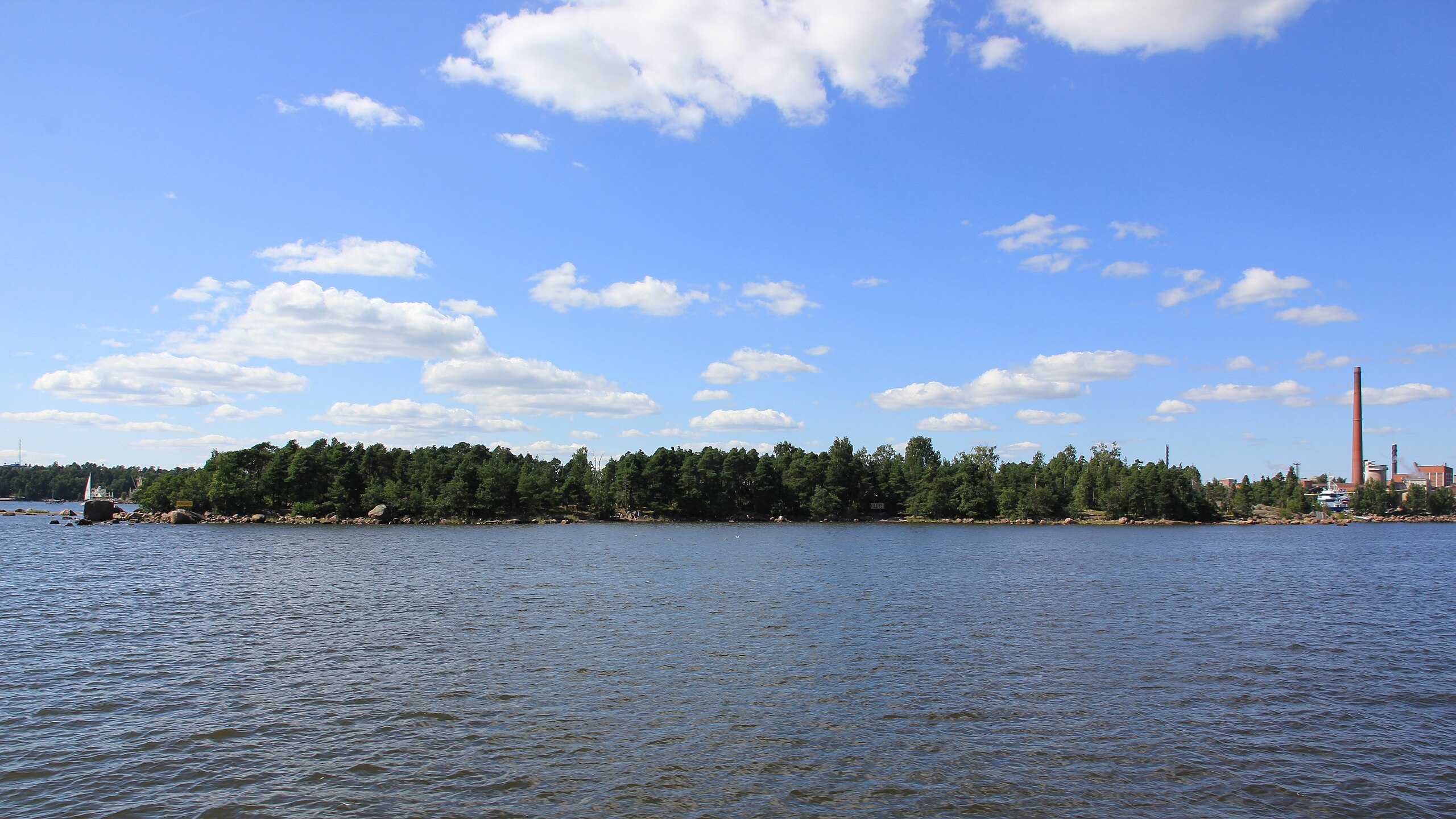
English: Kuusinen island in Kotka from east. The island is connected to Kotkansaari by a causeway.
Suomi: Kuusisen saari Kotkassa idästä nähtynä. Saari on yhdistetty Kotkansaareen patotiellä. |
||
| Petsa | |||
| Gigikanan | Kaugalingong trabaho | ||
| Tagsulat | MKFI | ||
| Pagtugot (Paggamit pag-usab niini nga file) |
|
| Camera location | | View this and other nearby images on: OpenStreetMap |
|---|
The geographical information in this file was retrospectively estimated.
The location may therefore be somewhat imprecise. Verifying and refining these coordinates is strongly encouraged. |
Kaagi sa payl
I-klik ang petsa/oras aron makit-an ang hulagway sa payl niadtong panahona.
| Petsa/Takna | Thumbnail | Mga dimensyon | Tiggamit | Komento | |
|---|---|---|---|---|---|
| kasamtangan | 15:43, 28 Enero 2012 | | 5,184 × 2,917 (5.18 MB) | MKFI | {{Information |Description ={{en|1=Kuusinen island in Kotka from east. The island is connected to Kotkansaari by a causeway.}} {{fi|1=Kuusisen saari Kotkassa idästä nähtynä. Saari on yhdistetty Kotkansaareen patotiellä.}} |Source ={{own}} |
Mga paggamit sa payl
Ang mosunod nga mga panid misumpay niining payl:
Global nga paggamit sa payl
Kining ubang wiki naggamit ning maong payl:
- Paggamit sa fi.wikipedia.org
- Paggamit sa fr.wikipedia.org
- Paggamit sa sv.wikipedia.org
- Paggamit sa www.wikidata.org