Payl:Libya location map.svg

Size of this PNG preview of this SVG file: 625 x 599 ka mga piksel. Uban pang mga resoluyon: 250 x 240 ka mga piksel | 501 x 480 ka mga piksel | 801 x 768 ka mga piksel | 1,068 x 1,024 ka mga piksel | 2,136 x 2,048 ka mga piksel | 969 x 929 ka mga piksel.
Tibuok resolusyon (SVG nga payl, nominally 969 × 929 pixels, size sa payl: 90 KB)
Mubong sugid:
| Deskripsyon |
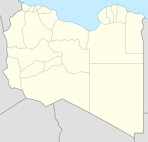
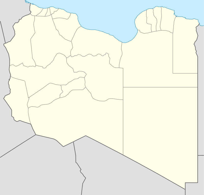
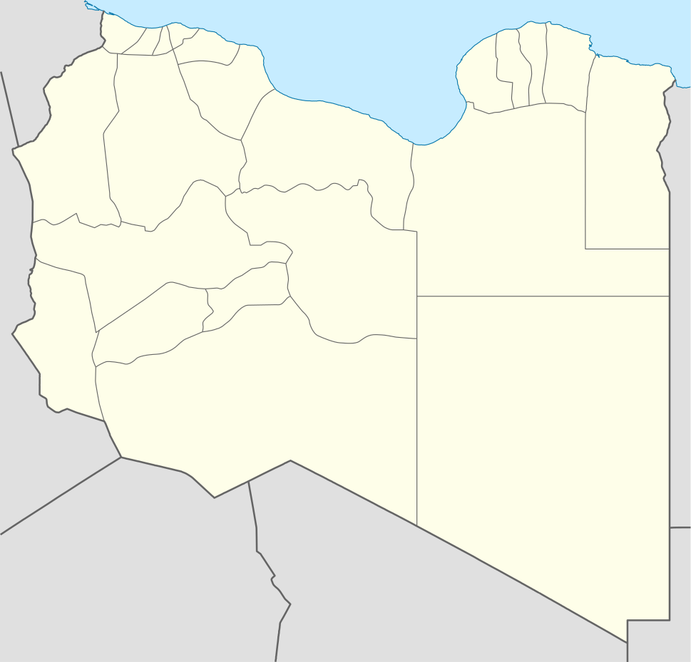
Deutsch: Positionskarte von Libyen
Quadratische Plattkarte, N-S-Streckung 110 %. Geographische Begrenzung der Karte:
English: Location map of Libya
Equirectangular projection, N/S stretching 110 %. Geographic limits of the map:
|
||
| Petsa | |||
| Gigikanan |
Kaugalingong trabaho (Original text: own work, using)
|
||
| Tagsulat | NordNordWest | ||
| Other versions |
Derivative works of this file:
|
||
| SVG genesis | This map was created with Adobe Illustrator.
|


Pagtugot
NordNordWest, the copyright holder of this work, hereby publishes it under the following licenses:

|
Gitugot ang pagkopya, pag-apud-apod o/ug pag-usab ning maong dokumento ubos sa mga termino sa GNU Free Documentation License, Version 1.2 o mas bag-ong bersiyon nga gimantala sa Free Software Foundation; nga walay Invariant Sections, walay Front-Cover Texts, ug walay Back-Cover Texts. Ang kopya sa lisensiya gilakip sa bahin nga giulohang GNU Free Documentation License. |
This file is licensed under the Creative Commons Attribution 3.0 Unported license.
Attribution: NordNordWest
- Libre ka:
- sa pagsabwag – sa pagkopya, pag-apod-apod ug pagsabwag sa hinimo
- sa pag-remix – sa pag-adap sa binuhat
- Ubos sa mosunod nga mga kondisyon:
- atribusyon – Kinahanglan nimo nga hatagan ang angay nga kredito, maghatag usa ka link sa lisensya, ug ipakita kung adunay mga pagbag-o. Mahimo nimo kini buhaton sa bisan unsang makatarunganon nga paagi, apan dili sa bisan unsang paagi nga nagsugyot nga gi-endorso ka sa licensor o ang imong paggamit.
You may select the license of your choice.
Kaagi sa payl
I-klik ang petsa/oras aron makit-an ang hulagway sa payl niadtong panahona.
| Petsa/Takna | Thumbnail | Mga dimensyon | Tiggamit | Komento | |
|---|---|---|---|---|---|
| kasamtangan | 15:59, 15 Abril 2011 | | 969 × 929 (90 KB) | NordNordWest | upd |
| 19:15, 18 Mayo 2009 |  | 970 × 931 (150 KB) | NordNordWest | finalized | |
| 16:19, 18 Mayo 2009 |  | 969 × 930 (127 KB) | NordNordWest | {{Information |Description= {{de|Positionskarte von Libyen, Vorversion}} Quadratische Plattkarte, N-S-Streckung 110 %. Geographische Begrenzung der Karte: * N: 33.4° N * S: 19.1° N * W: 9.1° O * O: 25.5° O {{en|Location map of [[:en:Lib |
Mga paggamit sa payl
More than 100 pages use this file. The following list shows the first 100 pages that use this file only. A full list is available.
- Al Qaţţārah
- Ali
- Ar Ru’aysāt
- Black Mountain
- Gat
- Jabal al ‘Uwaynāt
- Jabal an Nāmūs
- Kohtla
- Ra’s Sa‘īd
- Ra’s al Mudawwar
- Ra’s ar Raml
- Tarash
- Tesa
- Tripoli (pagklaro)
- Wadi Miri
- Wadi Tirah
- Wadi ad Dab`
- Wādī Bayāḑ
- Wādī Ghuzayyil
- Wādī Maḩmūd
- Wādī Qārūrah
- Wādī Surūr
- Wādī Umm adh Dhibbān
- Wādī Zamzam
- Wādī Zu’ānah
- Wādī ad Dalam
- Wādī al Abyaḑ
- Wādī al Aḩmar
- Wādī al Bayḑah
- Wādī al Bi’r
- Wādī al Faras
- Wādī al Fārigh
- Wādī al Jarf
- Wādī al Kabīr
- Wādī al Karm
- Wādī al Maghārah
- Wādī al Maghāsil
- Wādī al Mallāḩah
- Wādī al Manzilah
- Wādī al Manşūrah
- Wādī al Maqtalah
- Wādī al Maz̧ālim
- Wādī al Maţmūr
- Wādī al Misann
- Wādī al Muzayri‘ah
- Wādī al Muşallá
- Wādī al Mu‘allaq
- Wādī al Mu‘ayqil
- Wādī al Qabr
- Wādī al Qalb
- Wādī al Qandūl
- Wādī al Qaws
- Wādī al Qaţţārah
- Wādī al Qurayyāt
- Wādī al Qurnah
- Wādī al Ḩammām
- Wādī al Ḩamām
- Wādī al Ḩimārah
- Wādī al Ḩumayrah
- Wādī al ‘Asal
- Wādī al ‘Ayn
- Wādī al ‘Uwaynāt
- Wādī an Nakhlah
- Wādī an Niqār
- Wādī an Nuqayrāt
- Wādī ar Raml
- Wādī ar Rayḩānī
- Wādī as Sadd
- Wādī as Saqy
- Wādī as Sayl
- Wādī as Saḩābah
- Wādī as Suwaydā’
- Wādī ash Shabraq
- Wādī ash Sharshārah
- Wādī ash Shawmar
- Wādī ash Shaykh
- Wādī ash Shuqqārah
- Wādī ath Tha‘ālib
- Wādī az Zammār
- Wādī az Zarqā’
- Wādī az Zaytūn
- Wādī az Zāwiyah
- Wādī aş Şaghīr
- Wādī aş Şalīb
- Wādī aş Şawma‘ah
- Wādī aş Şayyād
- Wādī aḑ Ḑab‘
- Wādī Ḩumayrah
- Wādī ‘Abd ar Raḩmān
- Wādī ‘Alī
- `Ayn al Hiri
- Ţarābulus
- طرابلس
- ‘Ayn al Qaţţārah
- ‘Ayn al Quşaybah
- ‘Ayn al Qāḑī
- ‘Ayn al Ḩamrā’
- ‘Ayn al ‘Uwaynāt
- ‘Ayn al ‘Uyūn
- ‘Ayn ash Shaykh
View more links to this file.
Global nga paggamit sa payl
Kining ubang wiki naggamit ning maong payl:
- Paggamit sa af.wikipedia.org
- Paggamit sa am.wikipedia.org
- Paggamit sa an.wikipedia.org
- Paggamit sa ar.wikipedia.org
- كأس الأمم الإفريقية 1982
- واو الناموس
- قالب:خريطة مواقع ليبيا
- مطار بني وليد
- مطار رأس لانوف
- قاعدة الجفرة الجوية
- مطار هون
- مطار مرتوبة
- تفجير زليتن 2016
- تفجيرات الخمس 2015
- مطار تمنهنت الدولي
- مطار براك
- تفجير مسجد بيعة الرضوان 2018
- سبخة غزيل
- هجوم المفوضية الوطنية العليا للانتخابات 2018
- قالب:خريطة مفصلة للحرب الأهلية الليبية
- الغارة الجوية على مرزق 2019
- جبل هروج
- أم الأحرار
- جديد (ليبيا)
- الحجارة (ليبيا)
- Paggamit sa ar.wikinews.org
- Paggamit sa arz.wikipedia.org
- Paggamit sa ast.wikipedia.org
View more global usage of this file.