Payl:LocBaleares.svg

Size of this PNG preview of this SVG file: 512 x 345 ka mga piksel. Uban pang mga resoluyon: 320 x 216 ka mga piksel | 640 x 431 ka mga piksel | 1,024 x 690 ka mga piksel | 1,280 x 863 ka mga piksel | 2,560 x 1,725 ka mga piksel.
Tibuok resolusyon (SVG nga payl, nominally 512 × 345 pixels, size sa payl: 104 KB)
Mubong sugid:
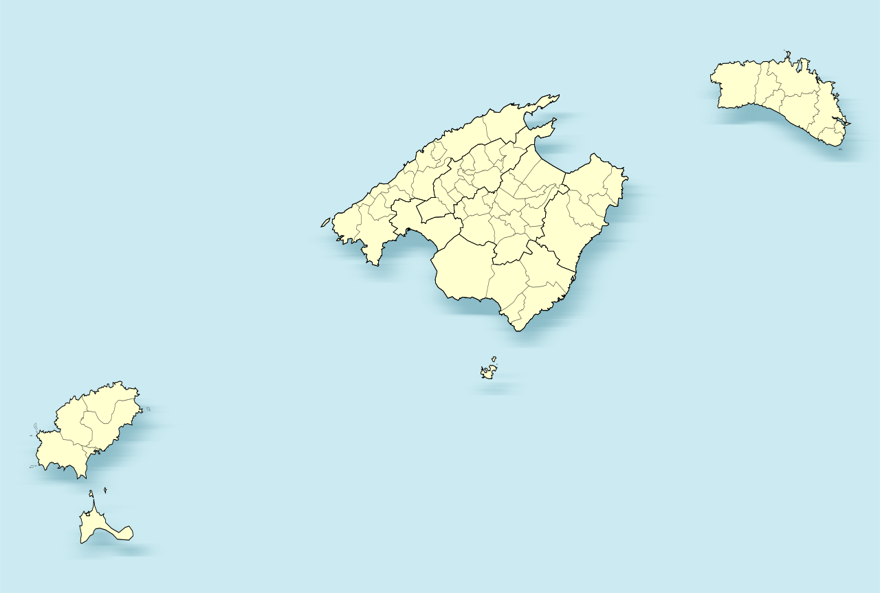
| Deskripsyon | Mapa de las Islas Baleares (España) | |
| Petsa | ||
| Gigikanan | Kaugalingong trabaho | |
| Tagsulat | Miguillen | |
| SVG genesis | This locator map was created with Inkscape.
|
Pagtugot
I, the copyright holder of this work, hereby publish it under the following licenses:

|
Gitugot ang pagkopya, pag-apud-apod o/ug pag-usab ning maong dokumento ubos sa mga termino sa GNU Free Documentation License, Version 1.2 o mas bag-ong bersiyon nga gimantala sa Free Software Foundation; nga walay Invariant Sections, walay Front-Cover Texts, ug walay Back-Cover Texts. Ang kopya sa lisensiya gilakip sa bahin nga giulohang GNU Free Documentation License. |
This file is licensed under the Creative Commons Attribution-Share Alike 4.0 International, 3.0 Unported, 2.5 Generic, 2.0 Generic and 1.0 Generic license.
- Libre ka:
- sa pagsabwag – sa pagkopya, pag-apod-apod ug pagsabwag sa hinimo
- sa pag-remix – sa pag-adap sa binuhat
- Ubos sa mosunod nga mga kondisyon:
- atribusyon – Kinahanglan nimo nga hatagan ang angay nga kredito, maghatag usa ka link sa lisensya, ug ipakita kung adunay mga pagbag-o. Mahimo nimo kini buhaton sa bisan unsang makatarunganon nga paagi, apan dili sa bisan unsang paagi nga nagsugyot nga gi-endorso ka sa licensor o ang imong paggamit.
- share parehas – Kung imong gi-remix, gibag-o, o gibase sa materyal, kinahanglan nimo nga iapod-apod ang imong mga kontribusyon sa ilawom sa parehas o katugma nga lisensya sama sa orihinal.
You may select the license of your choice.
Kaagi sa payl
I-klik ang petsa/oras aron makit-an ang hulagway sa payl niadtong panahona.
| Petsa/Takna | Thumbnail | Mga dimensyon | Tiggamit | Komento | |
|---|---|---|---|---|---|
| kasamtangan | 18:33, 8 Disyembre 2010 | | 512 × 345 (104 KB) | Miguillen | mejora del mapa ya que el anterior tenía errores |
| 14:41, 2 Marso 2010 |  | 3,687 × 2,506 (2.5 MB) | Miguillen | mejoro trazos | |
| 00:30, 1 Marso 2010 |  | 3,687 × 2,506 (1.95 MB) | Miguillen | municipios | |
| 15:21, 28 Pebrero 2010 |  | 3,687 × 2,506 (640 KB) | Miguillen | ajuste posición | |
| 21:29, 27 Pebrero 2010 |  | 3,687 × 2,506 (614 KB) | Miguillen | borde | |
| 19:17, 27 Pebrero 2010 |  | 3,682 × 2,500 (614 KB) | Miguillen | fondo | |
| 19:15, 27 Pebrero 2010 |  | 3,682 × 2,500 (614 KB) | Miguillen | {{Information |Description=Mapa de las Islas Baleares (España) |Source={{own}} {{inkscape}} |Date=2010-02-27 |Author=Miguillen |Permission= |other_versions= }} Category:Locator maps of Balearic islands |
Mga paggamit sa payl
Ang mosunod nga 6 panid misumpay niining payl:
Global nga paggamit sa payl
Kining ubang wiki naggamit ning maong payl:
- Paggamit sa an.wikipedia.org
- Deià
- Palma de Mallorca
- Alaior
- Ciutadiella de Menorca
- Es Migjorn Gran
- Ferreries
- Maó
- Es Mercadal
- Sant Lluís
- Es Castell
- Eivissa
- Sant Antoni de Portmany
- Sant Josep de sa Talaia
- Sant Joan de Labritja
- Sant Rafel de sa Creu
- Santa Eulària des Riu
- Alcúdia
- Algaida
- Andratx
- Ariany
- Artà
- Banyalbufar
- Binissalem
- Bunyola
- Búger
- Campanet
- Campos (Balears)
- Capdepera
- Consell
- Costitx
- Escorca
- Esporles
- Estellencs
- Felanitx
- Fornalutx
- Inca (Balears)
- Sa Pobla
- Ses Salines
- Lloret de Vistalegre
- Lloseta (Mallorca)
- Llubí
- Llucmajor
- Mancor de la Vall
- Marratxí
- Maria de la Salut
- Montuïri
- Muro (Balears)
- Petra (Balears)
- Pollença
- Porreres
View more global usage of this file.