Payl:Maderas seen from the South by ET.JPG
Walay mas taas nga resolusyon.
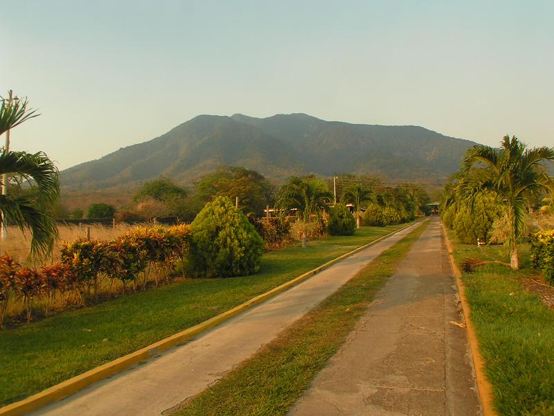
Maderas_seen_from_the_South_by_ET.JPG (800 × 600 pixels, size sa payl: 75 KB, MIME type: image/jpeg)
Mubong sugid:
| Deskripsyon |
English: Maderas Volcano as seen from the South in Ometepe island, Nicaragua. Taken at the entry to the trail leading to the San Ramon waterfall. |
| Petsa | Taken on 25 Abril 2008 |
| Gigikanan | Kaugalingong trabaho |
| Tagsulat | Wikiwanito |
| Camera location | | View this and other nearby images on: OpenStreetMap |
|---|
Pagtugot
| I, the copyright holder of this work, release this work into the public domain. This applies worldwide. In some countries this may not be legally possible; if so: I grant anyone the right to use this work for any purpose, without any conditions, unless such conditions are required by law. |
Kaagi sa payl
I-klik ang petsa/oras aron makit-an ang hulagway sa payl niadtong panahona.
| Petsa/Takna | Thumbnail | Mga dimensyon | Tiggamit | Komento | |
|---|---|---|---|---|---|
| kasamtangan | 12:33, 6 Hunyo 2010 | | 800 × 600 (75 KB) | Wikiwanito | {{Information |Description={{en|1=Maderas Volcano (Ometepe island, Nicaragua) seen from the South (from the entry to the trail leading to the San Ramon waterfall).}} |Source=Taken by myself |Author=Myself |Date=Picture taken on 2008-04-25 |Permission= |ot |
Mga paggamit sa payl
Ang mosunod nga mga panid misumpay niining payl:
Global nga paggamit sa payl
Kining ubang wiki naggamit ning maong payl:
- Paggamit sa arz.wikipedia.org
- Paggamit sa az.wikipedia.org
- Paggamit sa cs.wikipedia.org
- Paggamit sa de.wikipedia.org
- Paggamit sa en.wikipedia.org
- Paggamit sa es.wikipedia.org
- Paggamit sa fa.wikipedia.org
- Paggamit sa fr.wikipedia.org
- Paggamit sa hr.wikipedia.org
- Paggamit sa hu.wikipedia.org
- Paggamit sa hy.wikipedia.org
- Paggamit sa it.wikipedia.org
- Paggamit sa it.wikivoyage.org
- Paggamit sa ka.wikipedia.org
- Paggamit sa ko.wikipedia.org
- Paggamit sa lld.wikipedia.org
- Paggamit sa lt.wikipedia.org
- Paggamit sa lv.wikipedia.org
- Paggamit sa mk.wikipedia.org
- Paggamit sa nl.wikipedia.org
- Paggamit sa pl.wikipedia.org
- Paggamit sa pt.wikipedia.org
- Paggamit sa ru.wikipedia.org
- Paggamit sa tr.wikipedia.org
- Paggamit sa uk.wikipedia.org
- Paggamit sa www.wikidata.org
- Paggamit sa zh.wikipedia.org