Payl:Map of Georgia highlighting Stephens County.svg

Size of this PNG preview of this SVG file: 518 x 600 ka mga piksel. Uban pang mga resoluyon: 207 x 240 ka mga piksel | 414 x 480 ka mga piksel | 663 x 768 ka mga piksel | 884 x 1,024 ka mga piksel | 1,768 x 2,048 ka mga piksel | 740 x 857 ka mga piksel.
Tibuok resolusyon (SVG nga payl, nominally 740 × 857 pixels, size sa payl: 398 KB)
Mubong sugid:
| Deskripsyon |
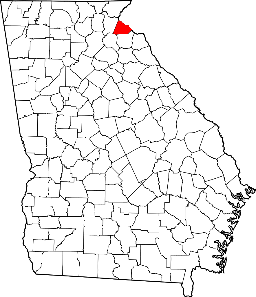
English: This is a locator map showing Stephens County in Georgia. For more information, see Commons:United States county locator maps. |
| Petsa | |
| Gigikanan |
Kaugalingong trabaho: English: The maps use data from nationalatlas.gov, specifically countyp020.tar.gz on the Raw Data Download page. The maps also use state outline data from statesp020.tar.gz. The Florida maps use hydrogm020.tar.gz to display Lake Okeechobee. |
| Tagsulat | David Benbennick |
Pagtugot
| I, the copyright holder of this work, release this work into the public domain. This applies worldwide. In some countries this may not be legally possible; if so: I grant anyone the right to use this work for any purpose, without any conditions, unless such conditions are required by law. |
Kaagi sa payl
I-klik ang petsa/oras aron makit-an ang hulagway sa payl niadtong panahona.
| Petsa/Takna | Thumbnail | Mga dimensyon | Tiggamit | Komento | |
|---|---|---|---|---|---|
| kasamtangan | 13:53, 25 Hunyo 2024 | | 740 × 857 (398 KB) | Nux | uniform colors with good contrast |
| 19:22, 19 Hunyo 2024 |  | 1,109 × 1,285 (398 KB) | Nux | fix rendering (remove clipping) | |
| 11:04, 12 Pebrero 2006 |  | 4,437 × 5,142 (432 KB) | David Benbennick | {{subst:User:Dbenbenn/clm|county=Stephens County|state=Georgia}} |
Mga paggamit sa payl
Ang mosunod nga mga panid misumpay niining payl:
Global nga paggamit sa payl
Kining ubang wiki naggamit ning maong payl:
- Paggamit sa ar.wikipedia.org
- Paggamit sa bg.wikipedia.org
- Paggamit sa bpy.wikipedia.org
- Paggamit sa cdo.wikipedia.org
- Paggamit sa ce.wikipedia.org
- Paggamit sa cy.wikipedia.org
- Paggamit sa de.wikipedia.org
- Paggamit sa en.wikipedia.org
- List of counties in Georgia
- Stephens County, Georgia
- Martin, Georgia
- Avalon, Georgia
- Toccoa, Georgia
- Eastanollee, Georgia
- Template:Stephens County, Georgia
- User:Nyttend/County templates/GA/2
- Category:Populated places in Stephens County, Georgia
- Ayersville, Georgia
- Hayes Crossing, Georgia
- Mize, Georgia
- Paggamit sa eo.wikipedia.org
- Paggamit sa es.wikipedia.org
- Paggamit sa et.wikipedia.org
- Paggamit sa eu.wikipedia.org
- Paggamit sa fa.wikipedia.org
- Paggamit sa fr.wikipedia.org
- Paggamit sa gl.wikipedia.org
- Paggamit sa hu.wikipedia.org
- Paggamit sa hy.wikipedia.org
- Paggamit sa it.wikipedia.org
- Paggamit sa ja.wikipedia.org
- Paggamit sa ko.wikipedia.org
- Paggamit sa la.wikipedia.org
- Paggamit sa mzn.wikipedia.org
- Paggamit sa nds.wikipedia.org
- Paggamit sa nl.wikipedia.org
- Paggamit sa no.wikipedia.org
- Paggamit sa pl.wikipedia.org
View more global usage of this file.