Payl:Map of New York highlighting Erie County.svg

Size of this PNG preview of this SVG file: 787 x 600 ka mga piksel. Uban pang mga resoluyon: 315 x 240 ka mga piksel | 630 x 480 ka mga piksel | 1,008 x 768 ka mga piksel | 1,280 x 976 ka mga piksel | 2,560 x 1,951 ka mga piksel | 6,599 x 5,030 ka mga piksel.
Tibuok resolusyon (SVG nga payl, nominally 6,599 × 5,030 pixels, size sa payl: 112 KB)
Mubong sugid:
| Deskripsyon |
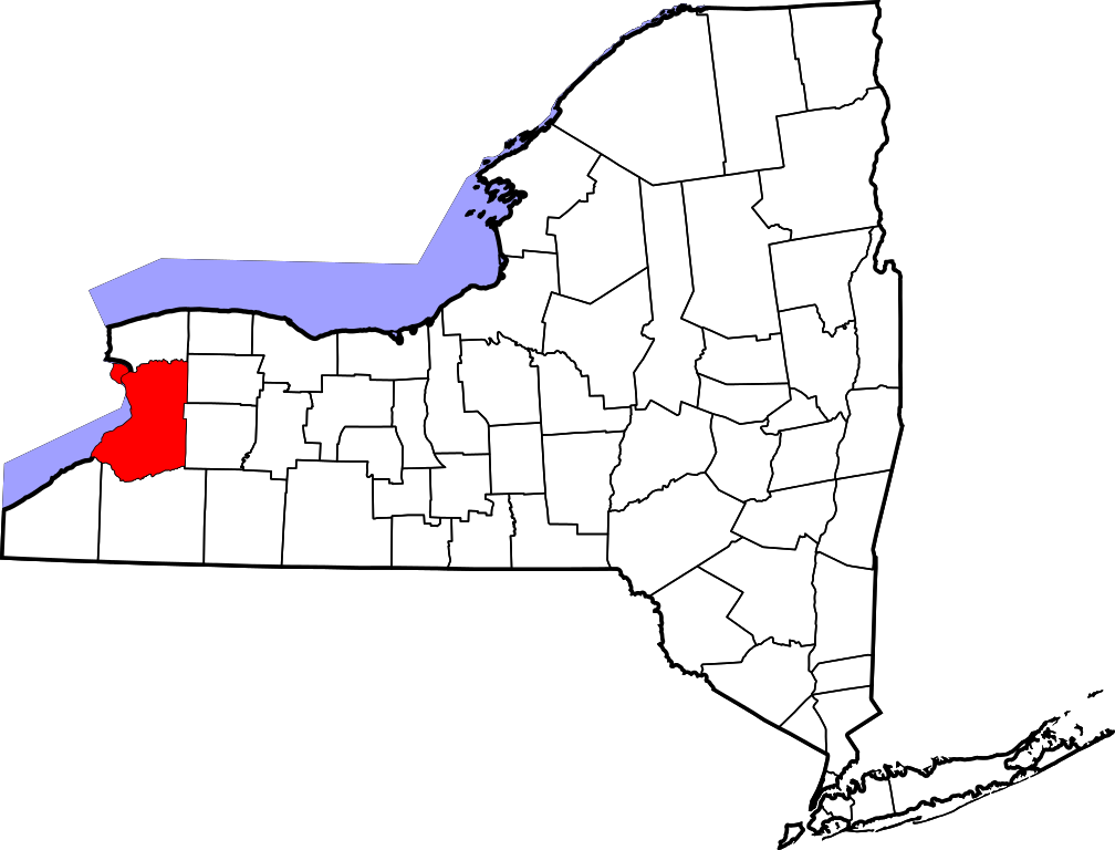
English: This is a locator map showing Erie County in New York. For more information, see Commons:United States county locator maps. |
| Petsa | |
| Gigikanan |
Kaugalingong trabaho: English: The maps use data from nationalatlas.gov, specifically countyp020.tar.gz on the Raw Data Download page. The maps also use state outline data from statesp020.tar.gz. The Florida maps use hydrogm020.tar.gz to display Lake Okeechobee. |
| Tagsulat | David Benbennick |
Pagtugot
| I, the copyright holder of this work, release this work into the public domain. This applies worldwide. In some countries this may not be legally possible; if so: I grant anyone the right to use this work for any purpose, without any conditions, unless such conditions are required by law. |
Kaagi sa payl
I-klik ang petsa/oras aron makit-an ang hulagway sa payl niadtong panahona.
| Petsa/Takna | Thumbnail | Mga dimensyon | Tiggamit | Komento | |
|---|---|---|---|---|---|
| kasamtangan | 09:07, 30 Marso 2015 | | 6,599 × 5,030 (112 KB) | Rcsprinter123 | Reverted to version as of 15:32, 12 February 2006 - standard for this map series |
| 05:27, 30 Marso 2015 |  | 1,200 × 741 (139 KB) | Dekema | Uploaded SVG file with tan counties and salmon Erie County. | |
| 15:32, 12 Pebrero 2006 |  | 6,599 × 5,030 (112 KB) | David Benbennick | {{subst:User:Dbenbenn/clm|county=Erie County|state=New York|type=county}} |
Mga paggamit sa payl
Ang mosunod nga mga panid misumpay niining payl:
Global nga paggamit sa payl
Kining ubang wiki naggamit ning maong payl:
- Paggamit sa ar.wikipedia.org
- مقاطعة إيري (نيويورك)
- تشيكتاواغا
- توناواندا (نيويورك)
- بوفالو (نيويورك)
- ويست سينيكا (نيويورك)
- جامعة بافالو
- لاكاوانا
- أكرون (نيويورك)
- ويليامسفيل (نيويورك)
- أنغولا (نيويورك)
- إيست أئورورا (نيويورك)
- بلاسدل (نيويورك)
- ديبيو (نيويورك)
- فرانهام (نيويورك)
- غواندا (نيويورك)
- كينمور (نيويورك)
- سالون (نيويورك)
- سبرينغفيل (نيويورك)
- قرية ألدن (نيويورك)
- قرية هامبورغ (نيويورك)
- قرية لانكاستر (نيويورك)
- قرية نورث كولينس (نيويورك)
- قرية إورشارد بارك (نيويورك)
- كلارنس (نيويورك)
- كولدين (نيويورك)
- كولينس (نيويورك)
- كونكورد (نيويورك)
- إيدن (نيويورك)
- إلما (نيويورك)
- إيفانس (نيويورك)
- غراند أيلاند (نيويورك)
- هامبورغ (نيويورك)
- هولاند (نيويورك)
- لانكاستر (نيويورك)
- ماريلا (نيويورك)
- نيوستيد (نيويورك)
- نورث كولينس (نيويورك)
- أورتشارد بارك (نيويورك)
- نورث بوسطن (نيويورك)
- كلارنس سنتر (نيويورك)
- هاريس هيل (نيويورك)
- لاك إيري بيتش (نيويورك)
- إلما سنتر (نيويورك)
- بيلينغتون هايهتس (نيويورك)
- قالب:مقاطعة إيري (نيويورك)
- تاون لين (نيويورك)
- أمهيرست (نيويورك)
- Paggamit sa azb.wikipedia.org
- Paggamit sa bg.wikipedia.org
View more global usage of this file.