Payl:Mosque in A'zaz.jpg
Gidak-on ning maong paunang tan-aw: 383 x 598 ka mga piksel. Uban pang mga resoluyon: 153 x 240 ka mga piksel | 307 x 480 ka mga piksel | 491 x 768 ka mga piksel | 655 x 1,024 ka mga piksel | 2,085 x 3,258 ka mga piksel.
Tibuok resolusyon (2,085 × 3,258 pixels, size sa payl: 868 KB, MIME type: image/jpeg)
Mubong sugid:
| Deskripsyon | |||
| Petsa | |||
| Gigikanan | Kaugalingong trabaho | ||
| Tagsulat | Brian Dell | ||
| Pagtugot (Paggamit pag-usab niini nga file) |
|
| Camera location | | View this and other nearby images on: OpenStreetMap |
|---|
Kaagi sa payl
I-klik ang petsa/oras aron makit-an ang hulagway sa payl niadtong panahona.
| Petsa/Takna | Thumbnail | Mga dimensyon | Tiggamit | Komento | |
|---|---|---|---|---|---|
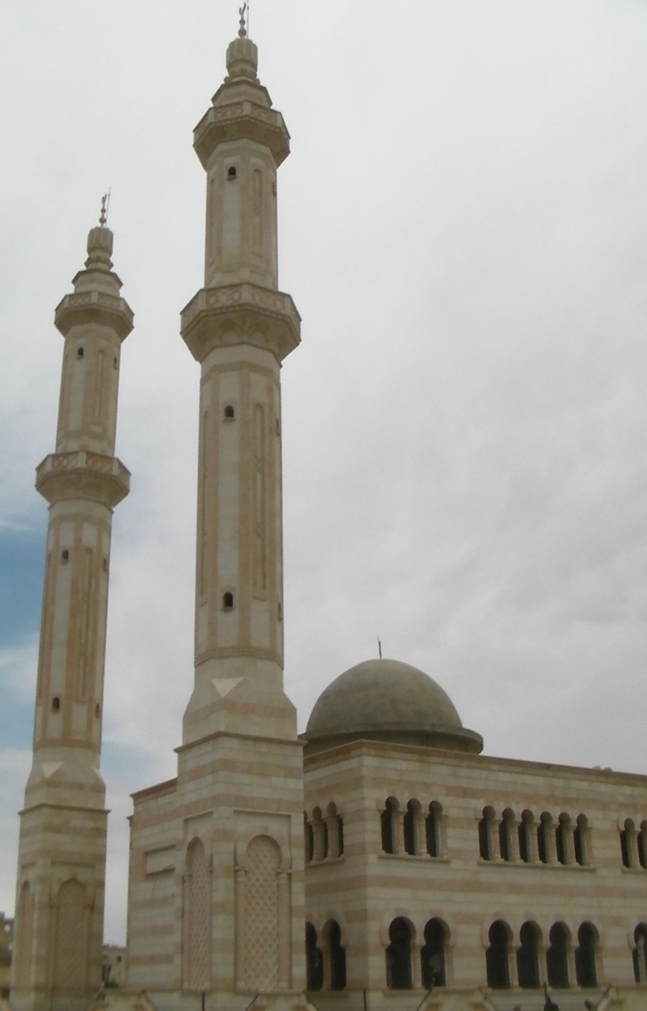
| kasamtangan | 09:14, 11 Agosto 2010 | | 2,085 × 3,258 (868 KB) | Bdell555 | {{Information |Description={{en|1=Mosque on the northwest outskirts of A'zaz (أعزاز), Syria, on the road to Kilis, Turkey. Elevation here is 555 meters.}} |Source={{own}} |Author=Brian Dell Bdell555 |Date= |Permission= |other_ve |
Mga paggamit sa payl
Ang mosunod nga mga panid misumpay niining payl:
Global nga paggamit sa payl
Kining ubang wiki naggamit ning maong payl:
- Paggamit sa ar.wikipedia.org
- Paggamit sa arz.wikipedia.org
- Paggamit sa az.wikipedia.org
- Paggamit sa be.wikipedia.org
- Paggamit sa ca.wikipedia.org
- Paggamit sa cs.wikipedia.org
- Paggamit sa de.wikipedia.org
- Paggamit sa diq.wikipedia.org
- Paggamit sa el.wikipedia.org
- Paggamit sa en.wikipedia.org
- Paggamit sa es.wikipedia.org
- Paggamit sa fa.wikipedia.org
- Paggamit sa fi.wikipedia.org
- Paggamit sa fr.wikipedia.org
- Paggamit sa hy.wikipedia.org
- Paggamit sa hyw.wikipedia.org
- Paggamit sa incubator.wikimedia.org
- Paggamit sa it.wikipedia.org
- Paggamit sa ka.wikipedia.org
- Paggamit sa lt.wikipedia.org
- Paggamit sa nl.wikipedia.org
- Paggamit sa nn.wikipedia.org
- Paggamit sa no.wikipedia.org
- Paggamit sa pl.wikipedia.org
- Paggamit sa ro.wikipedia.org
- Paggamit sa ru.wikipedia.org
- Paggamit sa ru.wiktionary.org
- Paggamit sa sh.wikipedia.org
- Paggamit sa sr.wikipedia.org
- Paggamit sa sv.wikipedia.org
- Paggamit sa tr.wikipedia.org
- Paggamit sa tr.wikiquote.org
- Paggamit sa uk.wikipedia.org
- Paggamit sa ur.wikipedia.org
- Paggamit sa vi.wikipedia.org
- Paggamit sa www.wikidata.org
- Paggamit sa zh.wikipedia.org