Payl:Obcine Slovenija 2006 Kranj.svg

Size of this PNG preview of this SVG file: 800 x 522 ka mga piksel. Uban pang mga resoluyon: 320 x 209 ka mga piksel | 640 x 418 ka mga piksel | 1,024 x 668 ka mga piksel | 1,280 x 835 ka mga piksel | 2,560 x 1,670 ka mga piksel | 2,613 x 1,705 ka mga piksel.
Tibuok resolusyon (SVG nga payl, nominally 2,613 × 1,705 pixels, size sa payl: 2.36 MB)
Mubong sugid:
| Deskripsyon |
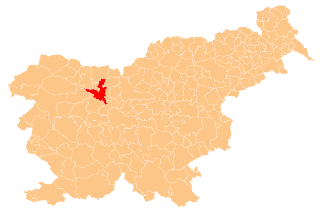
English: Občina Kranj (marked red) on map of the municipalities (občine) of the Republic of Slovenia, as since May 2006 (210 units). |
| Petsa | |
| Gigikanan | Manipulated Image:Obcine Slovenija 2006.svg in text editor. |
| Tagsulat | Source of the public data is GURS (Geodetska uprava Republike Slovenije or Surveying and Mapping Authority of the Republic of Slovenia). Converted from Shapefile to SVG with shp2svg and prepared for Wikipedia by romanm (talk). |
| Pagtugot (Paggamit pag-usab niini nga file) |
Public domain. See Image:Obcine Slovenija 2006.svg for an explanation. |
Pagtugot
| I, the copyright holder of this work, release this work into the public domain. This applies worldwide. In some countries this may not be legally possible; if so: I grant anyone the right to use this work for any purpose, without any conditions, unless such conditions are required by law. |
Kaagi sa payl
I-klik ang petsa/oras aron makit-an ang hulagway sa payl niadtong panahona.
| Petsa/Takna | Thumbnail | Mga dimensyon | Tiggamit | Komento | |
|---|---|---|---|---|---|
| kasamtangan | 23:00, 31 Mayo 2009 | | 2,613 × 1,705 (2.36 MB) | Romanm | {{Information |Description={{en|1=''Občina Kranj'' (marked red) on map of the municipalities (''občine'') of the Republic of Slovenia, as since May 2006 (210 units).}} |Source=Manipulated Image:Obcine Slovenija 2006.svg in text editor. |Author=Sour |
Mga paggamit sa payl
Ang mosunod nga mga panid misumpay niining payl:
Global nga paggamit sa payl
Kining ubang wiki naggamit ning maong payl:
- Paggamit sa de.wikipedia.org
- Paggamit sa en.wikipedia.org
- Paggamit sa fa.wikipedia.org
- Paggamit sa it.wikipedia.org
- Paggamit sa ja.wikipedia.org
- Paggamit sa mk.wikipedia.org
- Paggamit sa pl.wikipedia.org
- Paggamit sa pnb.wikipedia.org
- Paggamit sa pt.wikipedia.org
- Paggamit sa ru.wikipedia.org
- Paggamit sa sh.wikipedia.org
- Paggamit sa sl.wikipedia.org
- Paggamit sa smn.wikipedia.org