Payl:Oceania continents.svg

Size of this PNG preview of this SVG file: 800 x 520 ka mga piksel. Uban pang mga resoluyon: 320 x 208 ka mga piksel | 640 x 416 ka mga piksel | 1,024 x 666 ka mga piksel | 1,280 x 832 ka mga piksel | 2,560 x 1,664 ka mga piksel.
Tibuok resolusyon (SVG nga payl, nominally 800 × 520 pixels, size sa payl: 122 KB)
Mubong sugid:
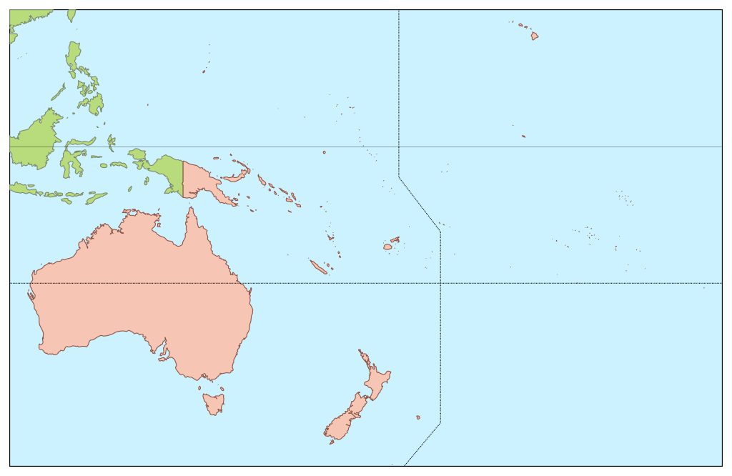
| Deskripsyon | Map of Oceania, showing only the boundary with Asia. |
| Petsa | |
| Gigikanan | Image:Oceania ISO 3166-1.svg |
| Tagsulat | Júlio Reis |
Pagtugot
This file is licensed under the Creative Commons Attribution-Share Alike 3.0 Unported license.
- Libre ka:
- sa pagsabwag – sa pagkopya, pag-apod-apod ug pagsabwag sa hinimo
- sa pag-remix – sa pag-adap sa binuhat
- Ubos sa mosunod nga mga kondisyon:
- atribusyon – Kinahanglan nimo nga hatagan ang angay nga kredito, maghatag usa ka link sa lisensya, ug ipakita kung adunay mga pagbag-o. Mahimo nimo kini buhaton sa bisan unsang makatarunganon nga paagi, apan dili sa bisan unsang paagi nga nagsugyot nga gi-endorso ka sa licensor o ang imong paggamit.
- share parehas – Kung imong gi-remix, gibag-o, o gibase sa materyal, kinahanglan nimo nga iapod-apod ang imong mga kontribusyon sa ilawom sa parehas o katugma nga lisensya sama sa orihinal.
Kaagi sa payl
I-klik ang petsa/oras aron makit-an ang hulagway sa payl niadtong panahona.
| Petsa/Takna | Thumbnail | Mga dimensyon | Tiggamit | Komento | |
|---|---|---|---|---|---|
| kasamtangan | 13:35, 30 Mayo 2006 | | 800 × 520 (122 KB) | Tintazul | {{Tintazul| |Description=Map of Oceania, showing only the boundary with Asia. |Source=Image:Oceania ISO 3166-1.svg |Date=24 May 2006 }} Category:Maps of Oceania |
Mga paggamit sa payl
Ang mosunod nga mga panid misumpay niining payl:
Global nga paggamit sa payl
Kining ubang wiki naggamit ning maong payl:
- Paggamit sa en.wikipedia.org
- Paggamit sa fr.wikipedia.org
- Paggamit sa ja.wikipedia.org
- ミクロネシア諸語
- 珊瑚海
- 南太平洋委員会
- オセアニア区
- サモア諸島
- ハウランド島
- サイパン海峡
- トケラウ
- ハガニア
- アダムスタウン (ピトケアン)
- ヌクノノ島
- オエノ島
- アタフ島
- サラ・イ・ゴメス島
- サン・フェリクス島
- サン・アンブロシオ島
- サンディ島
- パゴパゴ (アメリカ領サモア)
- クリスチャンケイブ
- オセアニア年間最優秀選手賞
- チャモロ標準時
- サモア標準時
- タポチョ山
- アリイ
- マニャガハ島
- バスケットボールオセアニア選手権
- カナカ族
- ガラパン
- 大首長
- トゥトゥイラ島
- トゥナ
- マケマケ
- Template:Oceania-stub
- ラバーラバ
- パプア人
- .tk
- トケラウの紋章
- ススペ
- ローズ環礁
- フツナプレート
- ニウアフォプレート
- 太平洋諸島信託統治領
- アウヌウ島
- キャピトル・ヒル (サイパン)
- アメリカ記念公園
- 砂糖王公園
- オセアニア国内オリンピック委員会
- 東日本大震災に対する日本国外の対応
View more global usage of this file.