Payl:Oceania laea location map.svg

Size of this PNG preview of this SVG file: 699 x 600 ka mga piksel. Uban pang mga resoluyon: 280 x 240 ka mga piksel | 560 x 480 ka mga piksel | 895 x 768 ka mga piksel | 1,194 x 1,024 ka mga piksel | 2,388 x 2,048 ka mga piksel | 1,181 x 1,013 ka mga piksel.
Tibuok resolusyon (SVG nga payl, nominally 1,181 × 1,013 pixels, size sa payl: 1.55 MB)
Mubong sugid:
| Deskripsyon |
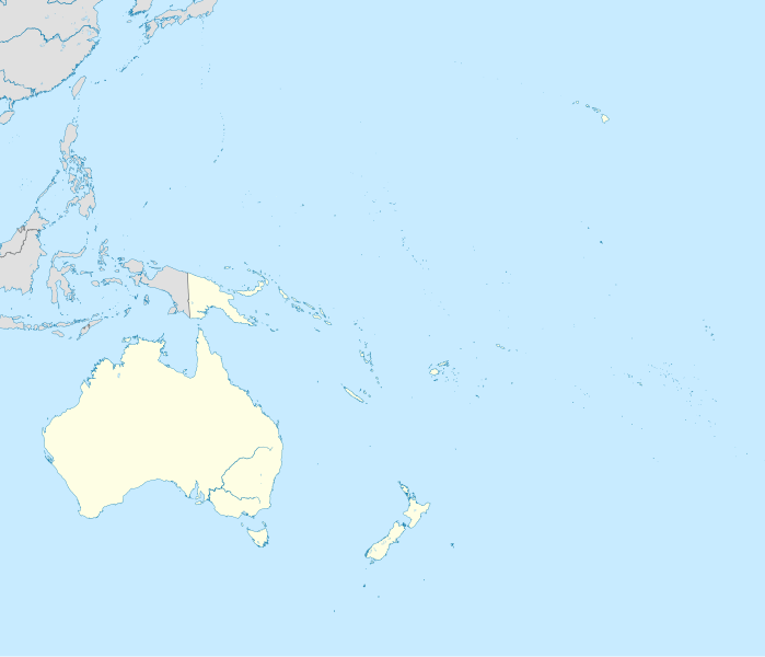
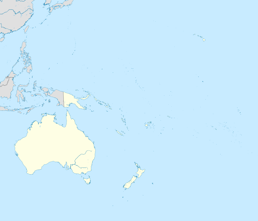
English: Location map of Oceania.
|
| Petsa | |
| Gigikanan | Kaugalingong trabaho |
| Tagsulat | Uwe Dedering |
| SVG genesis | This W3C-invalid locator map was created with Inkscape. |
Pagtugot
I, the copyright holder of this work, hereby publish it under the following licenses:
This file is licensed under the Creative Commons Attribution-Share Alike 3.0 Unported license.
- Libre ka:
- sa pagsabwag – sa pagkopya, pag-apod-apod ug pagsabwag sa hinimo
- sa pag-remix – sa pag-adap sa binuhat
- Ubos sa mosunod nga mga kondisyon:
- atribusyon – Kinahanglan nimo nga hatagan ang angay nga kredito, maghatag usa ka link sa lisensya, ug ipakita kung adunay mga pagbag-o. Mahimo nimo kini buhaton sa bisan unsang makatarunganon nga paagi, apan dili sa bisan unsang paagi nga nagsugyot nga gi-endorso ka sa licensor o ang imong paggamit.
- share parehas – Kung imong gi-remix, gibag-o, o gibase sa materyal, kinahanglan nimo nga iapod-apod ang imong mga kontribusyon sa ilawom sa parehas o katugma nga lisensya sama sa orihinal.

|
Gitugot ang pagkopya, pag-apud-apod o/ug pag-usab ning maong dokumento ubos sa mga termino sa GNU Free Documentation License, Version 1.2 o mas bag-ong bersiyon nga gimantala sa Free Software Foundation; nga walay Invariant Sections, walay Front-Cover Texts, ug walay Back-Cover Texts. Ang kopya sa lisensiya gilakip sa bahin nga giulohang GNU Free Documentation License. |
You may select the license of your choice.
Kaagi sa payl
I-klik ang petsa/oras aron makit-an ang hulagway sa payl niadtong panahona.
| Petsa/Takna | Thumbnail | Mga dimensyon | Tiggamit | Komento | |
|---|---|---|---|---|---|
| kasamtangan | 22:22, 31 Marso 2011 | | 1,181 × 1,013 (1.55 MB) | Magog the Ogre | crop data outside of viewbox |
| 14:06, 28 Nobiyembre 2010 |  | 1,181 × 1,013 (2.69 MB) | Uwe Dedering | {{Information |Description={{en|1= Location map of Oceania. * Projection: Lambert azimuthal equal-area projection. * Area of interest: :* N: 35.0° N :* S: -55.0° N :* W: 110.0° E :* E: 230.0° E (This is -130° E) * Projection center: :* NS: -10.0° N |
Mga paggamit sa payl
Ang mosunod nga mga panid misumpay niining payl:
Global nga paggamit sa payl
Kining ubang wiki naggamit ning maong payl:
- Paggamit sa af.wikipedia.org
- Paggamit sa an.wikipedia.org
- Paggamit sa ar.wikipedia.org
- Paggamit sa ast.wikipedia.org
- Paggamit sa azb.wikipedia.org
- Paggamit sa az.wikipedia.org
- Paggamit sa ban.wikipedia.org
- Paggamit sa ba.wikipedia.org
- Paggamit sa be-tarask.wikipedia.org
- Paggamit sa be.wikipedia.org
- Paggamit sa bg.wikipedia.org
- Paggamit sa bh.wikipedia.org
- Paggamit sa bn.wikipedia.org
- Paggamit sa br.wikipedia.org
- Paggamit sa ca.wikipedia.org
- Paggamit sa cs.wikipedia.org
- Paggamit sa da.wikipedia.org
- Paggamit sa de.wikipedia.org
- Kaloko-Dammbruch
- Kwajalein Missile Range
- Lapita
- Wikipedia:Kartenwerkstatt/Positionskarten/Andere
- Optus
- Benutzer:Uwe Dedering
- Mahina (Französisch-Polynesien)
- Pirae
- Vorlage:Positionskarte Ozeanien
- Wikipedia:Kartenwerkstatt/Archiv/2010-11
- Benutzer:Herzi Pinki/Vorlage:PositionskarteX ISO/Test
- Benutzer Diskussion:SteveK/Archiv2012
- Faʻahia
View more global usage of this file.