Payl:Outline Map of Leningrad Oblast.svg

Size of this PNG preview of this SVG file: 800 x 574 ka mga piksel. Uban pang mga resoluyon: 320 x 229 ka mga piksel | 640 x 459 ka mga piksel | 1,024 x 734 ka mga piksel | 1,280 x 918 ka mga piksel | 2,560 x 1,836 ka mga piksel | 1,000 x 717 ka mga piksel.
Tibuok resolusyon (SVG nga payl, nominally 1,000 × 717 pixels, size sa payl: 76 KB)
Mubong sugid:
| Deskripsyon |
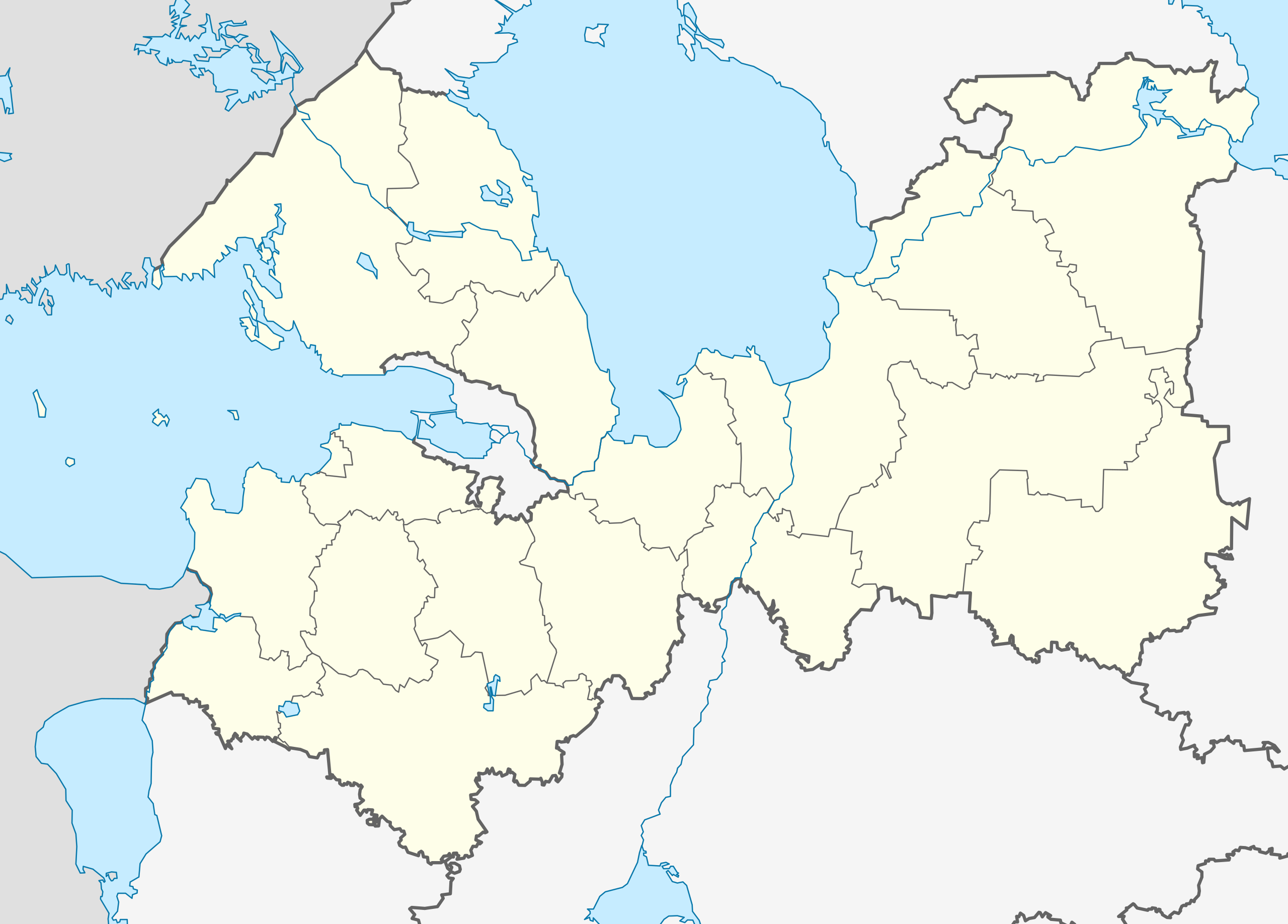
Русский: Позиционная карта Ленинградской области
|top = 61.5 |bottom = 58.2 |left = 26.7 |right = 35.9 |
| Petsa | |
| Gigikanan |
Kaugalingong trabaho
|
| Tagsulat | Виктор В |
| Other versions |
[] |
| SVG genesis |


Pagtugot
| I, the copyright holder of this work, release this work into the public domain. This applies worldwide. In some countries this may not be legally possible; if so: I grant anyone the right to use this work for any purpose, without any conditions, unless such conditions are required by law. |
Kaagi sa payl
I-klik ang petsa/oras aron makit-an ang hulagway sa payl niadtong panahona.
| Petsa/Takna | Thumbnail | Mga dimensyon | Tiggamit | Komento | |
|---|---|---|---|---|---|
| kasamtangan | 05:45, 5 Abril 2018 | | 1,000 × 717 (76 KB) | Hellerick | Fixed Lomonosov/Gatchina border |
| 18:06, 18 Agosto 2010 |  | 1,000 × 717 (75 KB) | Виктор В | == {{int:filedesc}} == {{Information |Description={{ru|1=Позиционная карта Ленинградской области *Проекция — равноугольная. *Стандартная параллель — 60°00′00″С *Пар� |
Mga paggamit sa payl
Ang mosunod nga mga panid misumpay niining payl:
Global nga paggamit sa payl
Kining ubang wiki naggamit ning maong payl:
- Paggamit sa af.wikipedia.org
- Paggamit sa ar.wikipedia.org
- Paggamit sa azb.wikipedia.org
- Paggamit sa az.wikipedia.org
- Paggamit sa ba.wikipedia.org
- Paggamit sa be.wikipedia.org
- Гатчына
- Выбарг
- Краснае Сяло (горад)
- Кранштат
- Шлісельбург
- Ладажскае возера
- Старая Ладага
- Вуокса (возера)
- Баксітагорск
- Пенікі
- Шаблон:На карце/Расія Ленінградская вобласць
- Ціхвін
- Луга (Расія)
- Кірышы
- Волхаў (горад)
- Высоцк
- Кінгісеп
- Любань (Ленінградская вобласць)
- Камунар (Гатчынскі раён)
- Сасновы Бор (горад)
- Ладзейнае Поле
- Рошчына (Ленінградская вобласць)
- Верхнясвірская ГЭС
- Гістарычны цэнтр Санкт-Пецярбурга і звязаныя з ім комплексы помнікаў
- Каменнагорск
- Рабава (Тосненскі раён)
- Будагашч
- Кузнечнае
- Лейпясуа
- Алёхаўшчына
- Талмачова (Ленінградская вобласць)
- Вялікая Іжора
- Пасёлак імя Марозава
- Мга (гарадскі пасёлак)
- Свірстрой
- Яфімаўскі
- Орадзеж (пасёлак)
- Рах’я
View more global usage of this file.