Payl:Patagonia aerial.jpg
Gidak-on ning maong paunang tan-aw: 800 x 600 ka mga piksel. Uban pang mga resoluyon: 320 x 240 ka mga piksel | 640 x 480 ka mga piksel | 1,024 x 768 ka mga piksel | 1,280 x 960 ka mga piksel | 2,592 x 1,944 ka mga piksel.
Tibuok resolusyon (2,592 × 1,944 pixels, size sa payl: 4.23 MB, MIME type: image/jpeg)
| Deskripsyon |
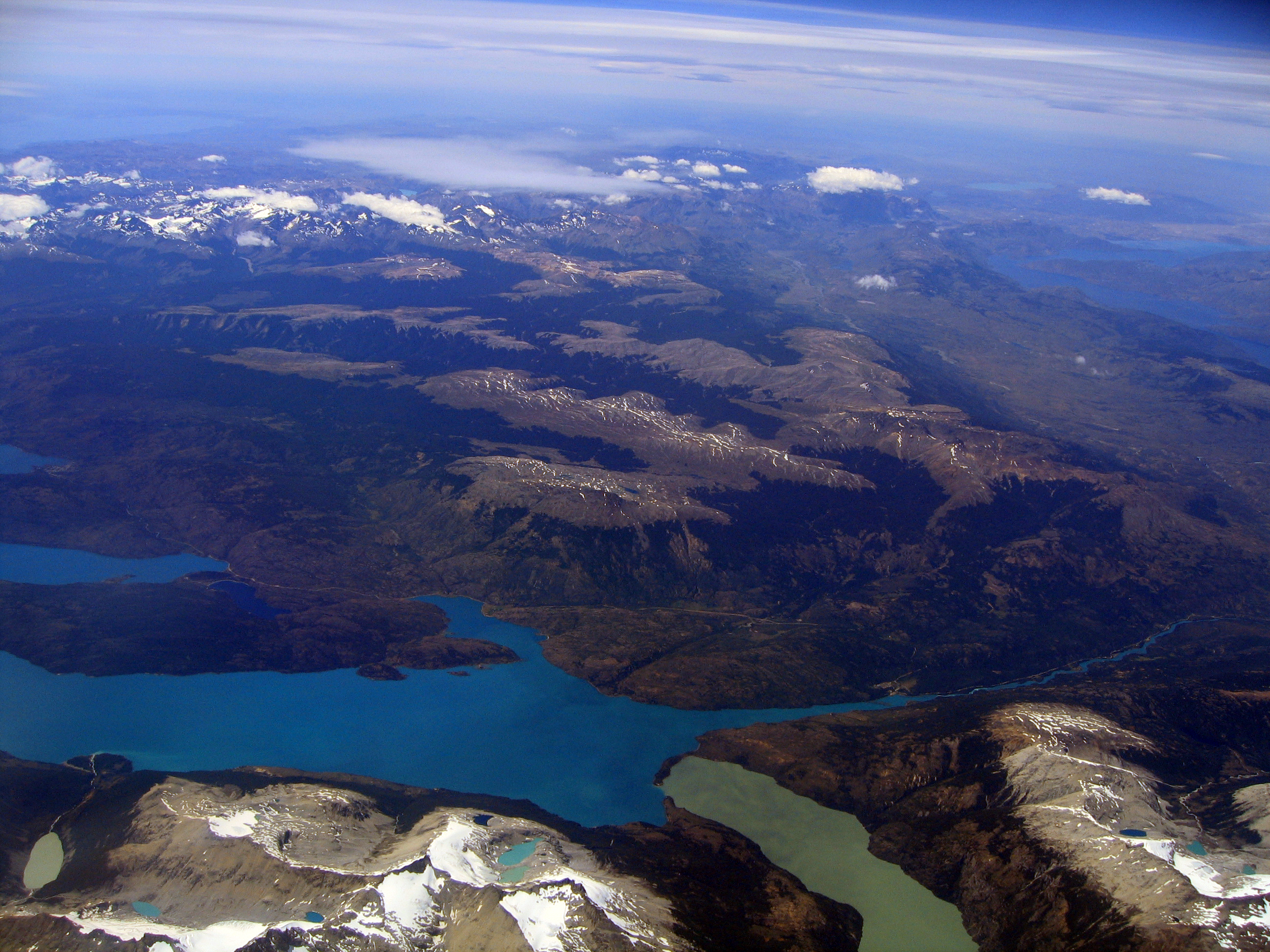
English: Aerial photo of an area in Patagonia, taken from a plane flying from Santiago de Chile to Punta Arenas) |
||
| Petsa | |||
| Gigikanan | Kaugalingong trabaho | ||
| Tagsulat | Entropy1963 | ||
| Pagtugot (Paggamit pag-usab niini nga file) |
|
| Camera location | | View this and other nearby images on: OpenStreetMap |
|---|
Kaagi sa payl
I-klik ang petsa/oras aron makit-an ang hulagway sa payl niadtong panahona.
| Petsa/Takna | Thumbnail | Mga dimensyon | Tiggamit | Komento | |
|---|---|---|---|---|---|
| kasamtangan | 10:38, 14 Enero 2011 | | 2,592 × 1,944 (4.23 MB) | Entropy1963 | {{Information |Description={{en|1=Aerial photo of an area in Patagonia, taken from a plane flying from Santiago de Chile to Punta Arenas)}} |Source={{own}} |Author=Entropy1963 |Date=2008-12-28 |Permission={{PD-self}} |other_versions= |
Mga paggamit sa payl
Ang mosunod nga mga panid misumpay niining payl:
Global nga paggamit sa payl
Kining ubang wiki naggamit ning maong payl:
- Paggamit sa el.wikipedia.org
- Paggamit sa en.wikipedia.org
- Paggamit sa es.wikipedia.org
- Paggamit sa eu.wikipedia.org
- Paggamit sa pt.wikipedia.org
- Paggamit sa ru.wikipedia.org
- Paggamit sa sv.wikipedia.org
- Paggamit sa www.wikidata.org
- Paggamit sa zh.wikipedia.org