Payl:Position of Auckland Region.png
Walay mas taas nga resolusyon.
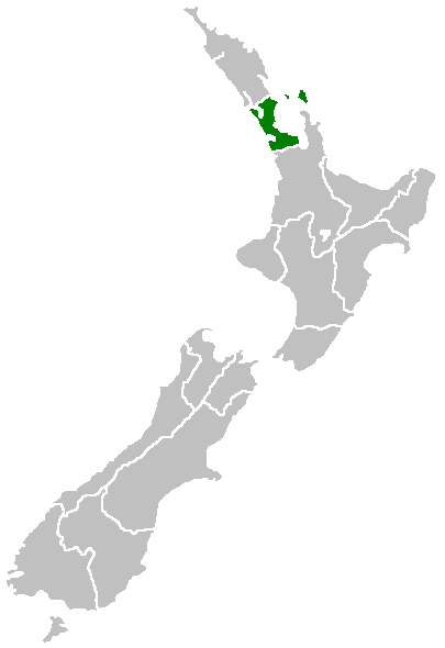
Position_of_Auckland_Region.png (405 × 590 pixels, size sa payl: 7 KB, MIME type: image/png)
Region of New Zealand, position on the map (source:English Wiki)
| |
This work has been released into the public domain by its author, Furius, at the English Wikipedya project. This applies worldwide. In case this is not legally possible: |
Kaagi sa payl
I-klik ang petsa/oras aron makit-an ang hulagway sa payl niadtong panahona.
| Petsa/Takna | Thumbnail | Mga dimensyon | Tiggamit | Komento | |
|---|---|---|---|---|---|
| kasamtangan | 07:40, 27 Abril 2005 | | 405 × 590 (7 KB) | Domie~commonswiki | Region of New Zealand, position on the map (source:English Wiki) {{PD}} Category:Maps of New Zealand |
Mga paggamit sa payl
Ang mosunod nga mga panid misumpay niining payl:
Global nga paggamit sa payl
Kining ubang wiki naggamit ning maong payl:
- Paggamit sa en.wikipedia.org
- Dragon Island
- Colville Channel
- Jellicoe Channel
- Cradock Channel
- Ponui Island
- Anawhata
- Matiatia
- Stockade Hill
- Southdown, New Zealand
- Blackpool, New Zealand
- Waitemata City
- Aiguilles Island
- Te Ārai
- Pakatoa Island
- Papakura City
- Template:Auckland-geo-stub
- Churchill Park, New Zealand
- Mathesons Bay
- Watchman Island
- Airport Oaks
- Chapel Downs
- Windy Canyon
- Mount Hobson (Great Barrier Island)
- Ōhinerau / Mount Hobson
- Lower Nihotupu Reservoir
- Onepoto (volcanic crater)
- Bike Auckland
- Woodcocks, New Zealand
- Tarahiki Island
- Ahuroa
- Tomarata
- Umupuia Beach
- Long Bay Regional Park
- Cosseys Reservoir
- Moturekareka Island
- Papakura Military Camp
- Keri Hill
- Traherne Island
- Franklin County, New Zealand
- Rodney County, New Zealand
- Crater Hill
- Matukutūruru
- Mount Cambria
- Ash Hill, New Zealand
- Ōtāhuhu / Mount Richmond
- Pukaki Lagoon
- Pukeiti (Auckland)
- Te Pou Hawaiki
- Duders Hill
- Mount Saint John (New Zealand)
View more global usage of this file.