Payl:Rangitoto Island And Motutapu Island.jpg
Gidak-on ning maong paunang tan-aw: 800 x 480 ka mga piksel. Uban pang mga resoluyon: 320 x 192 ka mga piksel | 1,024 x 614 ka mga piksel | 1,280 x 768 ka mga piksel | 2,000 x 1,200 ka mga piksel.
Tibuok resolusyon (2,000 × 1,200 pixels, size sa payl: 1.09 MB, MIME type: image/jpeg)
Mubong sugid:
| Deskripsyon |
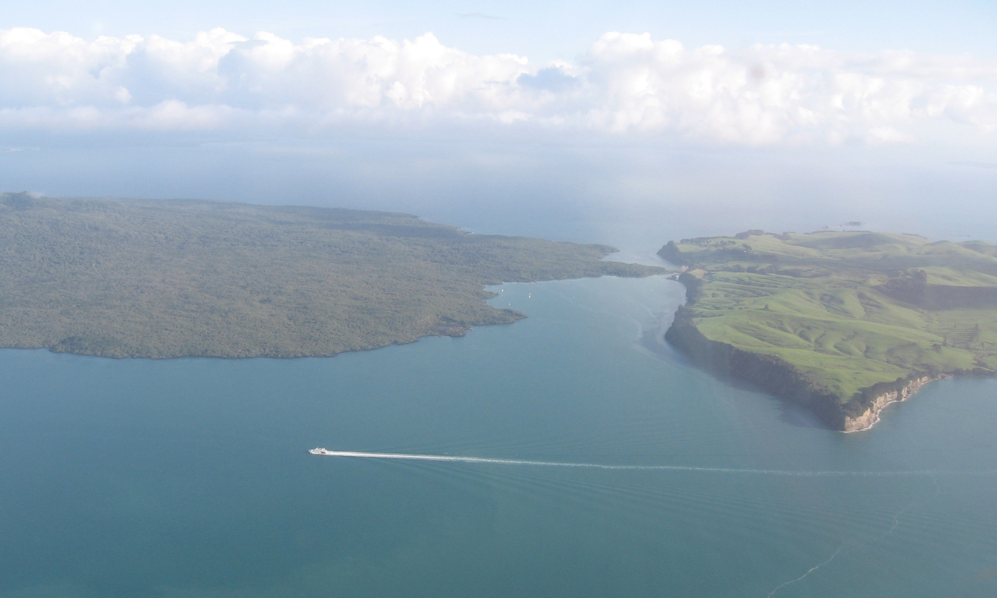
English: Looking north and west over where Rangitoto Island and Motutapu Island meet in the Hauraki Gulf, New Zealand. |
| Petsa | |
| Gigikanan | Self-photographed |
| Tagsulat | Ingolfson |
| Camera location | | View this and other nearby images on: OpenStreetMap |
|---|
Pagtugot
| I, the copyright holder of this work, release this work into the public domain. This applies worldwide. In some countries this may not be legally possible; if so: I grant anyone the right to use this work for any purpose, without any conditions, unless such conditions are required by law. |
Kaagi sa payl
I-klik ang petsa/oras aron makit-an ang hulagway sa payl niadtong panahona.
| Petsa/Takna | Thumbnail | Mga dimensyon | Tiggamit | Komento | |
|---|---|---|---|---|---|
| kasamtangan | 09:49, 23 Abril 2011 | | 2,000 × 1,200 (1.09 MB) | Ingolfson | == {{int:filedesc}} == {{Information |Description={{en|Something in Auckland, New Zealand.}} |Source={{own}} (Own picture). |Date=2010 |Author=Uploader. |Permission= |other_versions=None. }} {{locatio |
Mga paggamit sa payl
Ang mosunod nga mga panid misumpay niining payl:
Global nga paggamit sa payl
Kining ubang wiki naggamit ning maong payl:
- Paggamit sa az.wikipedia.org
- Paggamit sa ca.wikipedia.org
- Paggamit sa en.wikipedia.org
- Paggamit sa en.wikivoyage.org
- Paggamit sa es.wikipedia.org
- Paggamit sa fi.wikipedia.org
- Paggamit sa ja.wikipedia.org
- Paggamit sa pl.wikipedia.org
- Paggamit sa uk.wikipedia.org
- Paggamit sa www.wikidata.org