Payl:Saint Lucia location map.svg

Size of this PNG preview of this SVG file: 475 x 599 ka mga piksel. Uban pang mga resoluyon: 190 x 240 ka mga piksel | 380 x 480 ka mga piksel | 609 x 768 ka mga piksel | 812 x 1,024 ka mga piksel | 1,624 x 2,048 ka mga piksel | 1,060 x 1,337 ka mga piksel.
Tibuok resolusyon (SVG nga payl, nominally 1,060 × 1,337 pixels, size sa payl: 114 KB)
Mubong sugid:
| Deskripsyon |
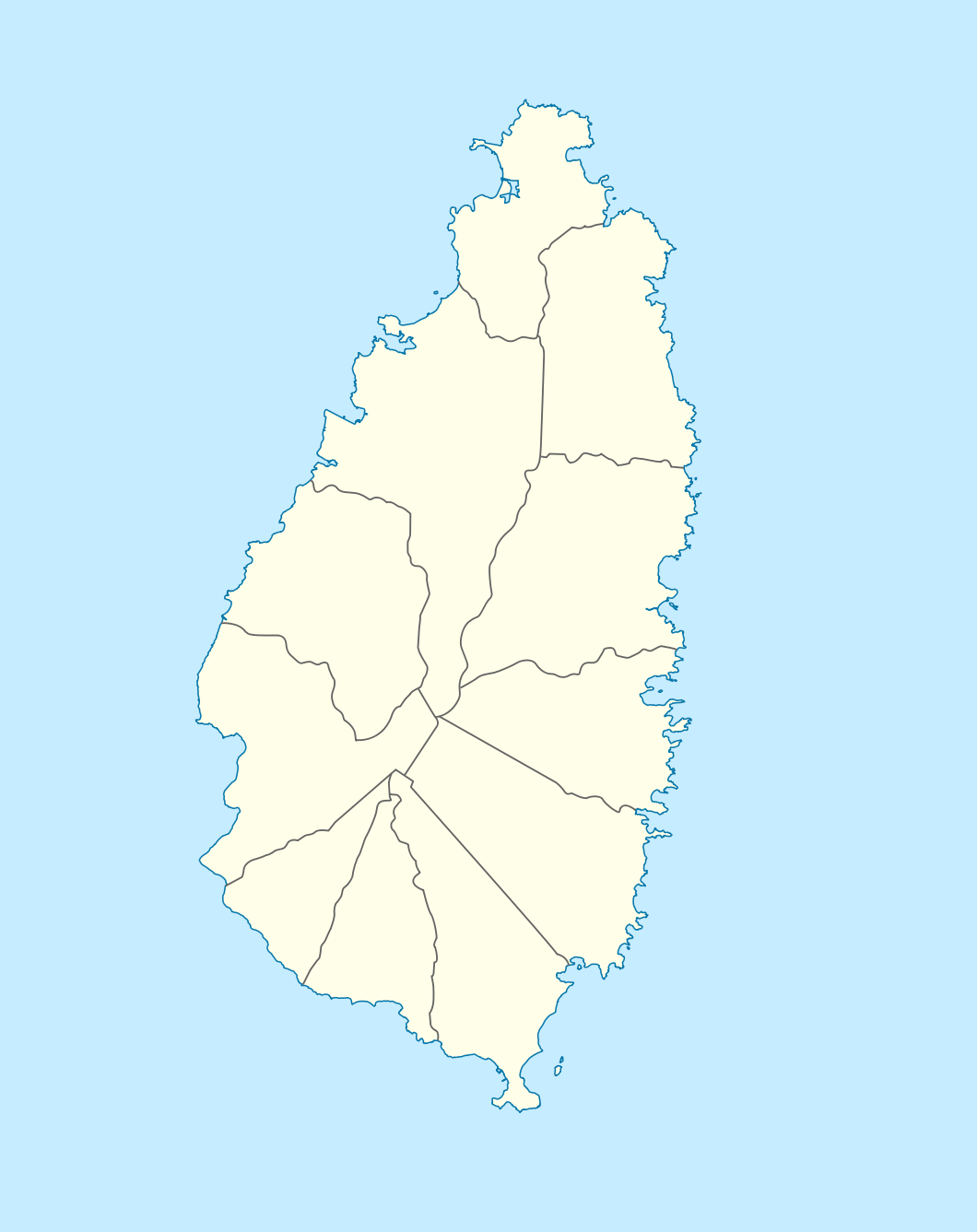
Deutsch: Positionskarte von St. Lucia
Geographische Begrenzung der Karte:
English: Location map of Saint Lucia
Geographic limits of the map:
|
||||||||||||
| Petsa | |||||||||||||
| Gigikanan |
Kaugalingong trabaho, using |
||||||||||||
| Tagsulat | NordNordWest | ||||||||||||
| Pagtugot (Paggamit pag-usab niini nga file) |
|

|
This map has been made or improved in the German Kartenwerkstatt (Map Lab). You can propose maps to improve as well.
|
Kaagi sa payl
I-klik ang petsa/oras aron makit-an ang hulagway sa payl niadtong panahona.
| Petsa/Takna | Thumbnail | Mga dimensyon | Tiggamit | Komento | |
|---|---|---|---|---|---|
| kasamtangan | 18:16, 18 Disyembre 2009 | | 1,060 × 1,337 (114 KB) | NordNordWest | == {{int:filedesc}} == {{Information |Description= {{de|Positionskarte von St. Lucia}} Geographische Begrenzung der Karte: * N: 14.15° N * S: 13.66° N * W: 61.16° W * O: 60.76° W {{en|Location map of Saint Lucia}} |
Mga paggamit sa payl
More than 100 pages use this file. The following list shows the first 100 pages that use this file only. A full list is available.
- Albert Point
- Anse Galet
- Anse Mahaut
- Anse Violon
- Anse la Voutte
- Battery Point
- Beaumont Point
- Black Bay
- Black Bay River
- Blanche Point
- Bonhomme Point
- Brandon Point
- Caesar Point
- Canaries
- Cap Point
- Castries (pagklaro)
- Choiseul (pagklaro)
- Choiseul Bay
- Chopin Ridge
- Cochon Bay
- Cross Hill
- Dauphin River
- Dennery
- Esperance River
- Falaise Point
- Fous Island
- Fous Islet
- Fregate Island
- Frigate Island
- George F. L. Charles Airport
- Georgie Point
- Grande Anse
- Grande Riviere
- Grande Rivière
- Gros Ilet
- Gros Island
- Gros Islet
- Gros Loup
- Gros Morne
- Gros Piton
- Haut Morne
- Hewanorra
- La Grande Riviere
- Laborie
- Lascelles Point
- Mahaut Bay
- Mahaut River
- Mamin Bay
- Mamin River
- Maria Islands
- Marigot Point
- Marquis River
- Mathurin Point
- Micoud
- Morne Beauséjour
- Morne Bellevue
- Morne Cochon
- Morne Lacombe
- Morne Regnier
- Morne du Cap
- Mount Bellevue
- Mount Fortune
- Mount Marquis
- Mount Morton
- Mount Victorin
- Nord Point
- Petit Piton
- Petit Trou
- Petite Anse
- Pigeon Island
- Pigeon Point
- Pointe Sable
- Pointe du Cap
- Pointe d’Orange
- Port Castries
- Port Praslin
- Port Volet
- Praslin (pagklaro)
- Praslin Island
- Punchbowl
- Rat Island
- Rat Islet
- Ravine Palmiste
- Riviere du Vieux Fort
- Rouge Point
- Sable Point
- Saint Lucia (pagklaro)
- Saint Lucia Channel
- Scorpion Island
- Soufriere
- Soufrière Bay
- Sveta Lucija
- Union River
- Vierge Point
- Vieux-Fort (baranggay)
- Vieux-Fort (pagklaro)
- Vieux Fort Bay
- Vigie
- Vigie Beach
- Vigie Point
View more links to this file.
Global nga paggamit sa payl
Kining ubang wiki naggamit ning maong payl:
- Paggamit sa af.wikipedia.org
- Paggamit sa als.wikipedia.org
- Paggamit sa an.wikipedia.org
- Paggamit sa ar.wikipedia.org
- Paggamit sa ast.wikipedia.org
- Paggamit sa be-tarask.wikipedia.org
- Paggamit sa be.wikipedia.org
- Paggamit sa bg.wikipedia.org
- Paggamit sa bn.wikipedia.org
- Paggamit sa bs.wikipedia.org
- Paggamit sa ce.wikipedia.org
- Paggamit sa cs.wikipedia.org
- Paggamit sa de.wikipedia.org
- Paggamit sa de.wikivoyage.org
- Paggamit sa el.wikipedia.org
- Paggamit sa en.wikipedia.org
- Hewanorra International Airport
- George F. L. Charles Airport
- Pitons (Saint Lucia)
- Cap Point
- Praslin Quarter
- George Odlum Stadium
- Babonneau
- Vigie Beach
- Mabouya Valley
- Roseau Valley
- Marc Marc
- Canaries, Saint Lucia
- Cas-en-Bas
- Monchy, Saint Lucia
- Mon Repos, Saint Lucia
- Roseau, Saint Lucia
- Balembouche
- Bongalo
View more global usage of this file.